MyTopo
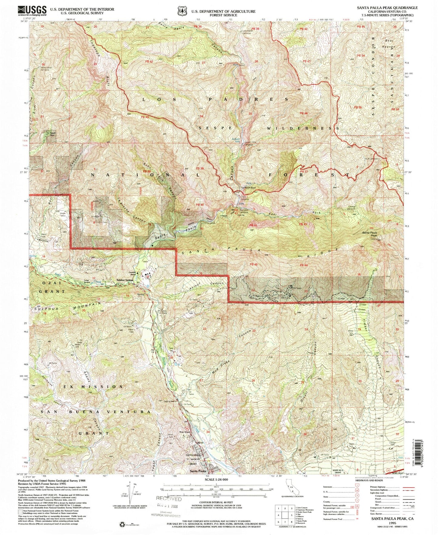
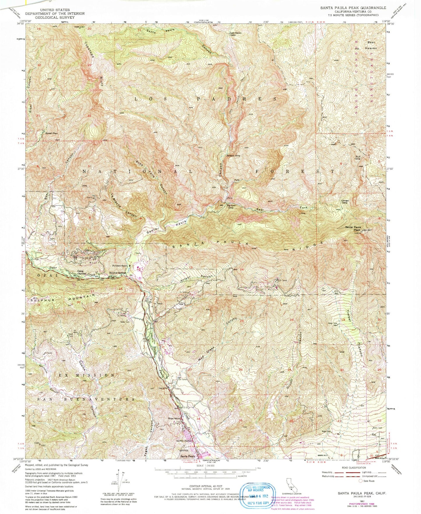
Classic USGS Santa Paula Peak California 7.5'x7.5' Topo Map
Couldn't load pickup availability
Historical USGS topographic quad map of Santa Paula Peak in the state of California. Typical map scale is 1:24,000, but may vary for certain years, if available. Print size: 24" x 27"
This quadrangle is in the following counties: Ventura.
The map contains contour lines, roads, rivers, towns, and lakes. Printed on high-quality waterproof paper with UV fade-resistant inks, and shipped rolled.
Contains the following named places: Saltmarsh Canyon, Anlauf Canyon, Bear Canyon, Big Cone Camp, Bluff Camp, Cienega Camp, East Fork Santa Paula Canyon, Echo Falls Canyon, Ferndale Ranch, Jackson Camp, La Broche Canyon, Last Chance Camp, Last Chance Trail, Mud Creek Canyon, Mupu Elementary School, Orcutt Canyon, Santa Paula Peak, Santa Paula Ridge, Steckel Park, Timber Canyon, Topatopa Bluff, Santa Paula Canyon, Sisar Creek, Cross Campground, The Punch Bowl, Santa Paula Canyon Trail, Jackson Falls, Jackson Hole, White Ledge Campground, Camp Bartlett, Howell Place, Sulphur Springs, Teagueville (historical), Thomas Aquinas College