
MyTopo
Classic USGS Santa Renia Fields Nevada 7.5'x7.5' Topo Map
Regular price
$16.95
Regular price
Sale price
$16.95
Unit price
per
Couldn't load pickup availability
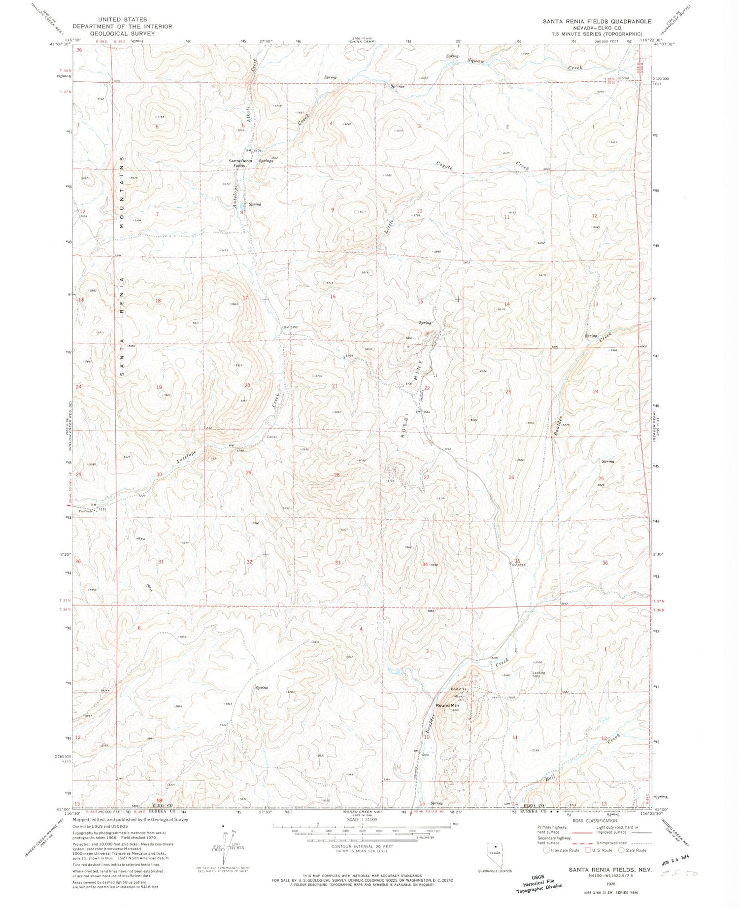
Historical USGS topographic quad map of Santa Renia Fields in the state of Nevada. Map scale may vary for some years, but is generally around 1:24,000. Print size is approximately 24" x 27"
This quadrangle is in the following counties: Elko, Eureka.
The map contains contour lines, roads, rivers, towns, and lakes. Printed on high-quality waterproof paper with UV fade-resistant inks, and shipped rolled.
Contains the following named places: Alkali Creek, Barium Mine, Bootstrap Mine, Bootstrap Mining District, Little Coyote Creek, Rossi Mine, Round Mountain, Santa Renia Fields, Santa Renia Mountains, Santa Rita Ranch, Squaw Creek, The Grade, Tie Corral


