MyTopo
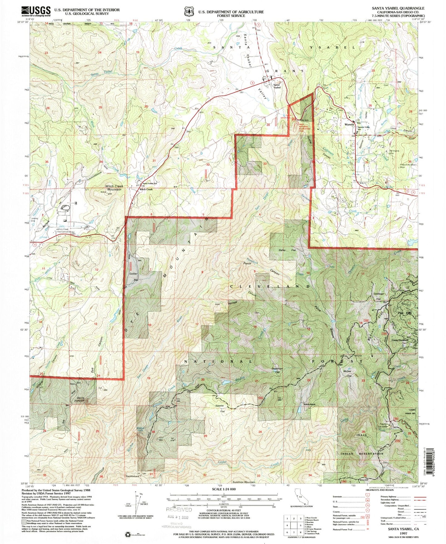
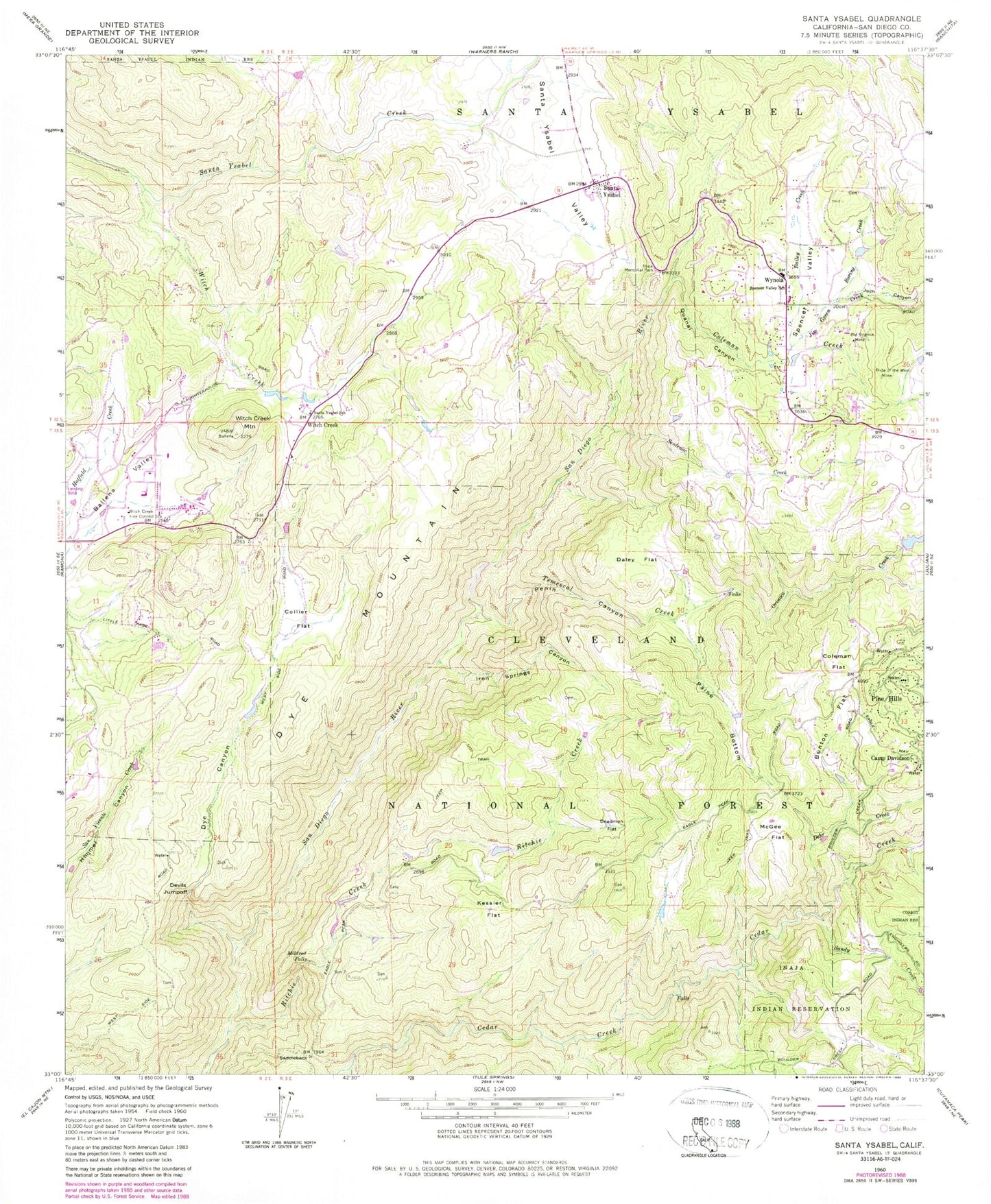
Classic USGS Santa Ysabel California 7.5'x7.5' Topo Map
Couldn't load pickup availability
Historical USGS topographic quad map of Santa Ysabel in the state of California. Typical map scale is 1:24,000, but may vary for certain years, if available. Print size: 24" x 27"
This quadrangle is in the following counties: San Diego.
The map contains contour lines, roads, rivers, towns, and lakes. Printed on high-quality waterproof paper with UV fade-resistant inks, and shipped rolled.
Contains the following named places: Bailey Creek, Boring Creek, Bunton Flat, Camp Davidson, Coleman Creek, Coleman Flat, Collie Flat, Daley Flat, Deadman Flat, Dehr Creek, Devils Jumpoff, Dye Canyon, Dye Mountain, Inaja and Cosmit Reservation, Inaja Memorial Park, Iron Springs Canyon, Jim Green Creek, Juch Canyon, Kessler Flat, McGee Flat, Mildred Falls, Old Virginia Mine, Orinoco Creek, Paine Bottom, Penin Canyon, Pride of the West Mine, Quanai Canyon, Ritchie Creek, Saddleback, Sandy Creek, Santa Ysabel, Santa Ysabel School, Sentenac Creek, Spencer Valley, Spencer Valley Elementary School, Temescal Creek, Witch Creek, Witch Creek, Witch Creek Fire Control Station, Witch Creek Mountain, Wynola, Inaja Nature National Recreation Trail, Pine Hills Fire Station, Pine Hills, Nichols Ranch, Pine Hills Guard Station (historical), Ballena, Peacefield Orchard, Santa Ysabel Post Office, Inaja Indian Reservation Cemetery