MyTopo
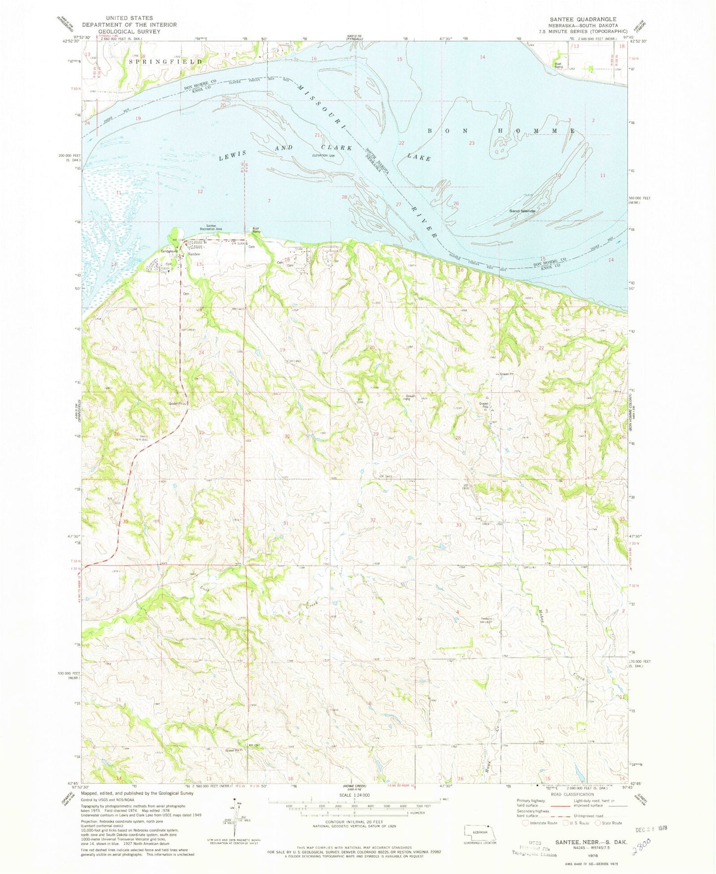
Classic USGS Santee Nebraska 7.5'x7.5' Topo Map
Couldn't load pickup availability
Historical USGS topographic quad map of Santee in the states of Nebraska, South Dakota. Map scale may vary for some years, but is generally around 1:24,000. Print size is approximately 24" x 27"
This quadrangle is in the following counties: Bon Homme, Knox.
The map contains contour lines, roads, rivers, towns, and lakes. Printed on high-quality waterproof paper with UV fade-resistant inks, and shipped rolled.
Contains the following named places: Dodsons Bend, Nebraska Indian Community College - Santee Campus, Sand Creek Recreation Area, Sand Islands, Santee, Santee Post Office, Santee Public Schools, Santee Sioux Recreation Park, Santee Sioux Tribe Health Center, Santee Village Police, Santee Volunteer Fire Department, Silver Creek, Township of Hill, Township of Santee, Village of Santee