MyTopo
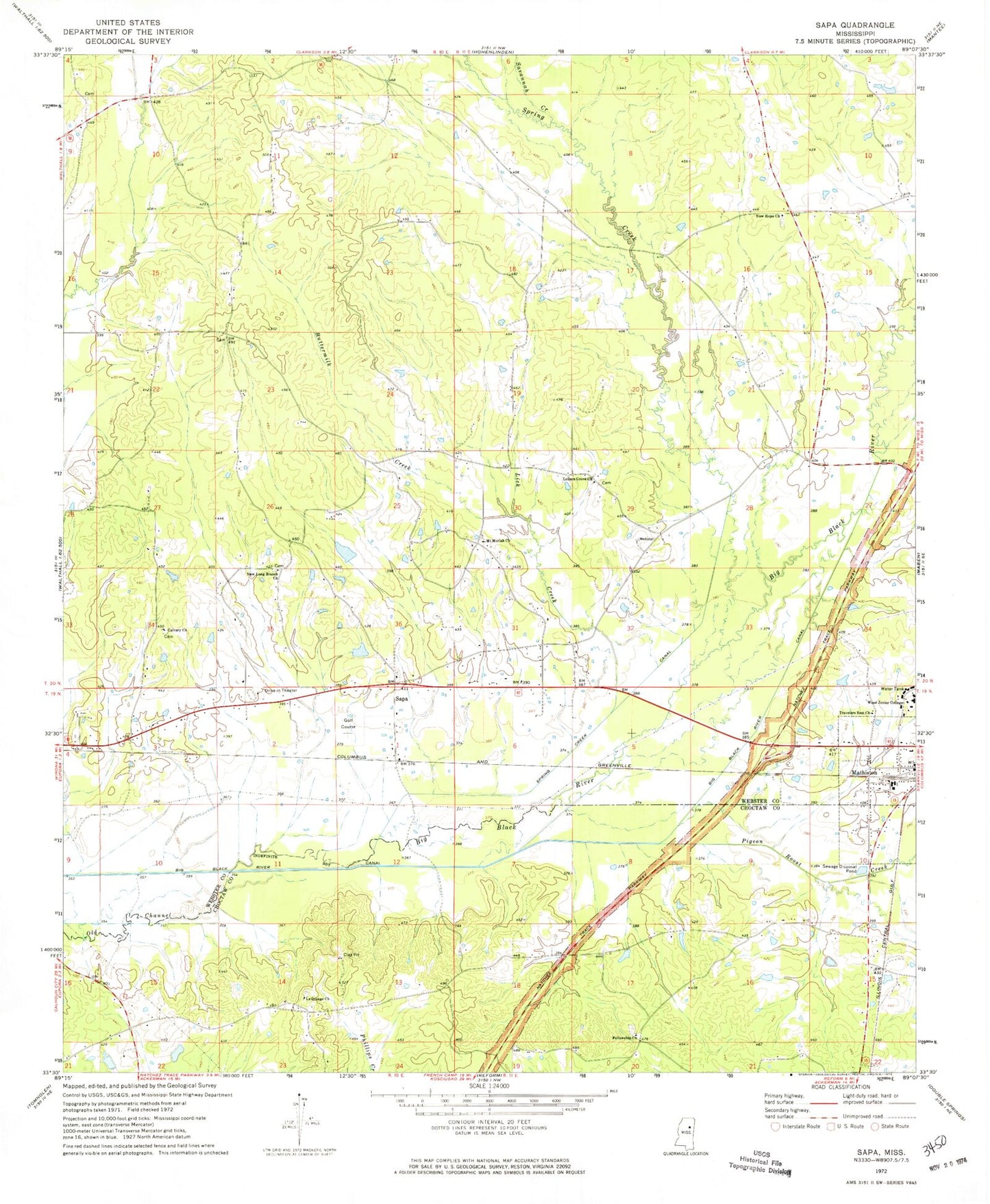
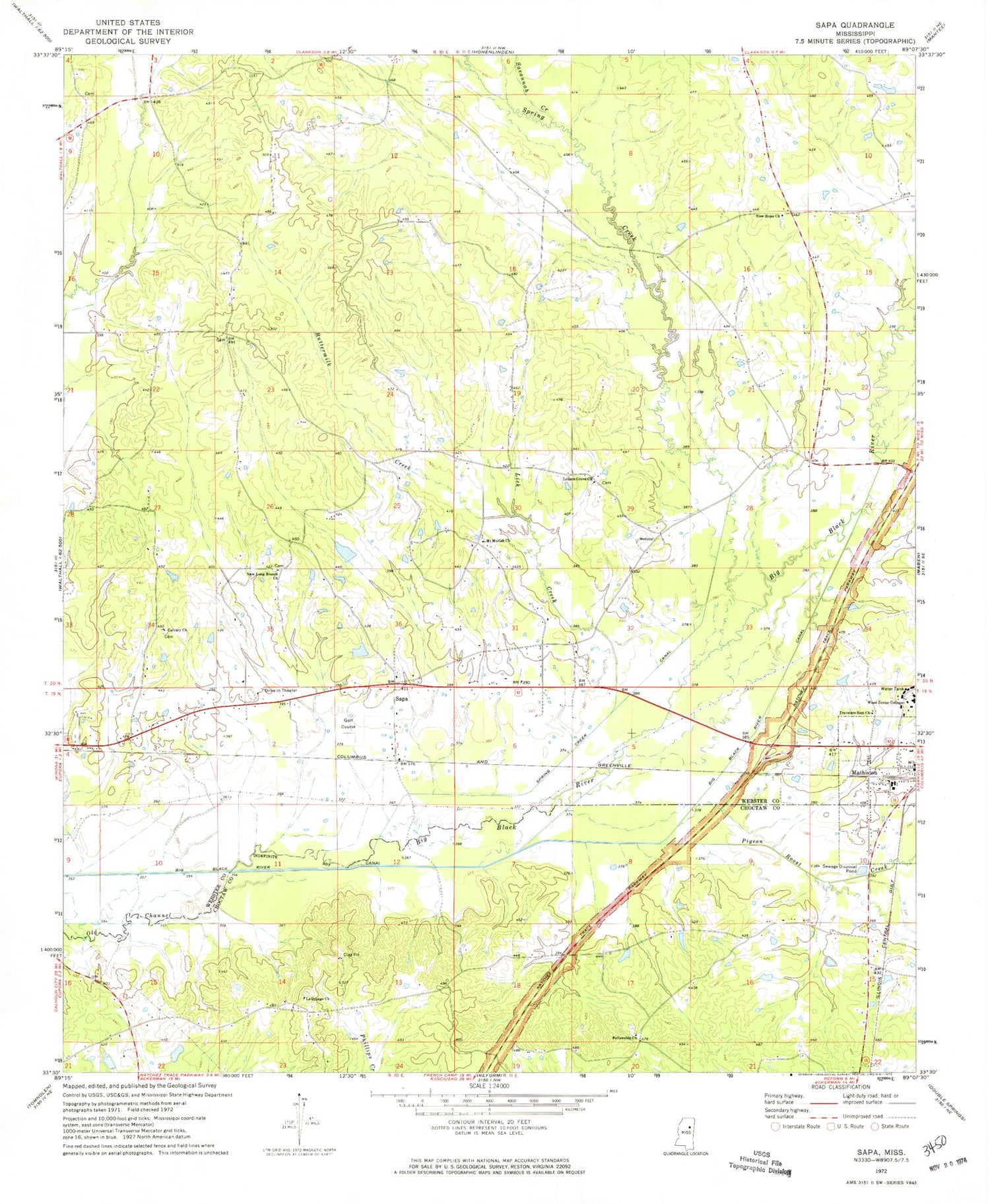
Classic USGS Sapa Mississippi 7.5'x7.5' Topo Map
Couldn't load pickup availability
Historical USGS topographic quad map of Sapa in the state of Mississippi. Map scale may vary for some years, but is generally around 1:24,000. Print size is approximately 24" x 27"
This quadrangle is in the following counties: Choctaw, Webster.
The map contains contour lines, roads, rivers, towns, and lakes. Printed on high-quality waterproof paper with UV fade-resistant inks, and shipped rolled.
Contains the following named places: Atkins School, Ballard Branch, Bethel Cemetery, Bethel Church, Buttermilk Creek, Calvary Church, Cathedral of the Pines, Church Lake Dam, Crawford Field, East Webster Elementary School, Fellowship Cemetery, Fellowship Church, Hartford, Henleys Cemetery, Irvin Branch, La Grange, La Grange Cemetery, La Grange Church, Lick Creek, Lollars Grove Cemetery, Lollars Grove Church, Long Branch Cemetery, Mathison Colored School, Mount Moriah Cemetery, Mount Moriah Church, New Hope Cemetery, New Hope Church, New Hope School, New Long Branch Church, Old Field Cemetery, Pigeon Roost, Pigeon Roost Creek, Pigeon Roost Stand, Roland Lake Dam, Sapa, Sapa Baptist Church, Sapa Cemetery, Savannah Creek, Shagaloo, Sheffield Creek, Spring Creek, Spring Creek Canal, Starnes, Supervisor District 4, Town of Mathiston, Travelers Rest Church, WEPA-AM (Eupora), Wood Junior College, ZIP Code: 39752


