MyTopo
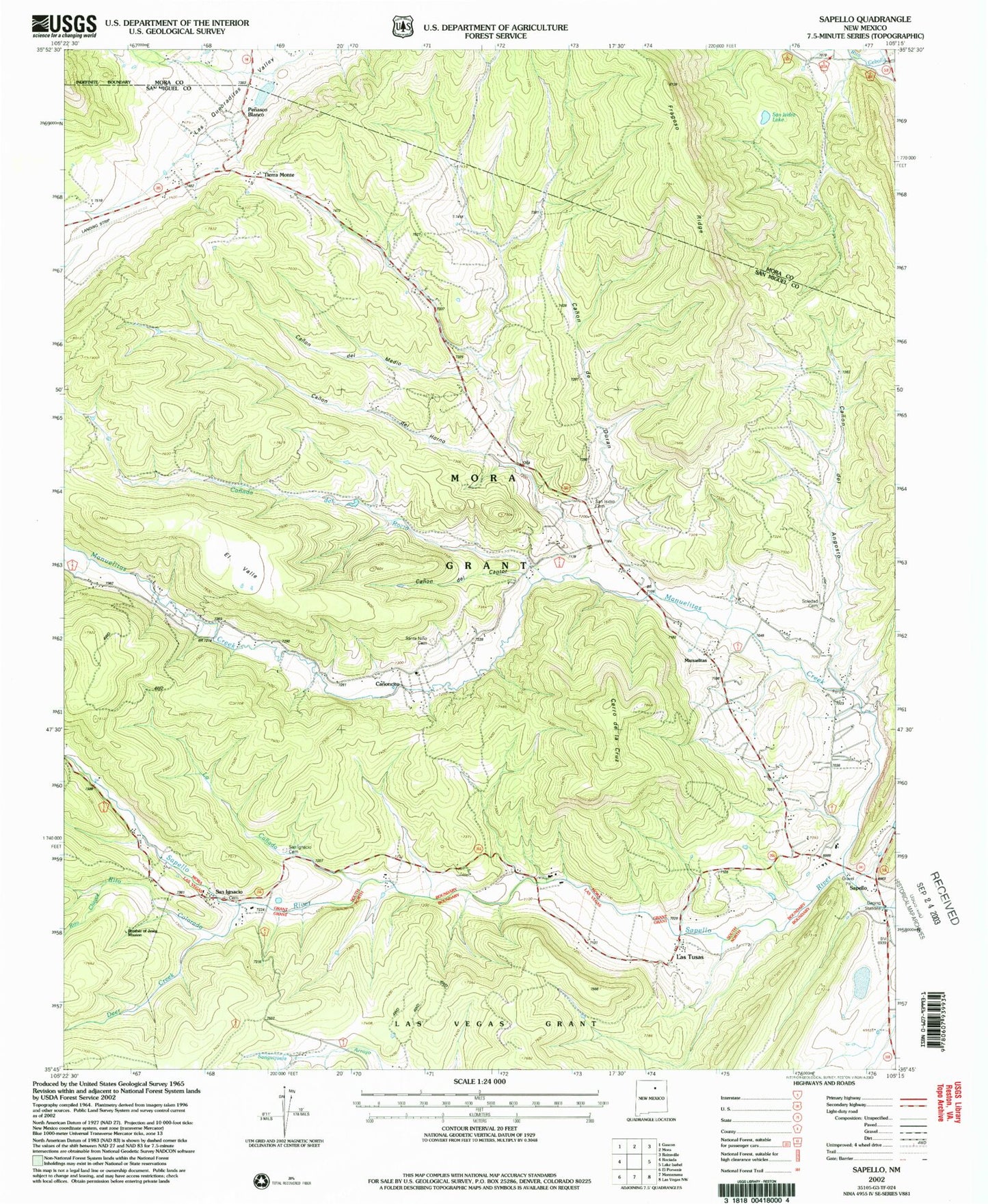
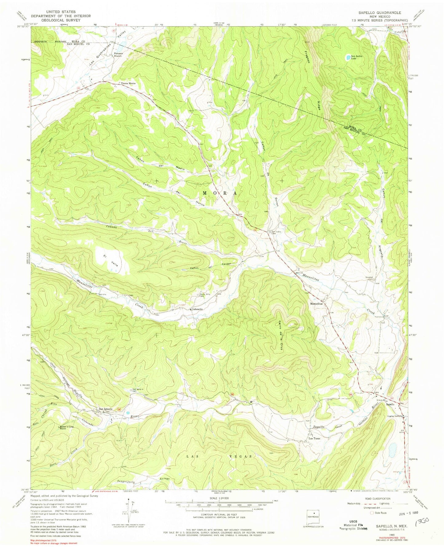
Classic USGS Sapello New Mexico 7.5'x7.5' Topo Map
Couldn't load pickup availability
Historical USGS topographic quad map of Sapello in the state of New Mexico. Map scale may vary for some years, but is generally around 1:24,000. Print size is approximately 24" x 27"
This quadrangle is in the following counties: Mora, San Miguel.
The map contains contour lines, roads, rivers, towns, and lakes. Printed on high-quality waterproof paper with UV fade-resistant inks, and shipped rolled.
Contains the following named places: Brother of Jesus Mission, Canada de Rocio, Canon de Cantor, Canon de Duran, Canon de Horno, Canon de Medio, Canon del Angosto, Canoncito, Cerro de la Cruz, Deer Creek, Don Tomas, El Valle, Fragoso Ridge, La Canada, Las Dispensas, Las Tusas, Manuelitas, Manuelitas Creek, Pena, Penasco Blanco, Rito Chavez, Rito Colorado, San Ignacio, San Ignacio Cemetery, San Ignacio Post Office, San Isidro Cemetery, San Isidro Lake, San Miguel County Fire District Sapello Rociada Fire Department, Santa Nino Cemetery, Sapello, Sapello Elementary School, Sapello Post Office, Soledad Cemetery, Tierra Monte, Woods