MyTopo
Classic USGS Sarasota Florida 7.5'x7.5' Topo Map
Couldn't load pickup availability
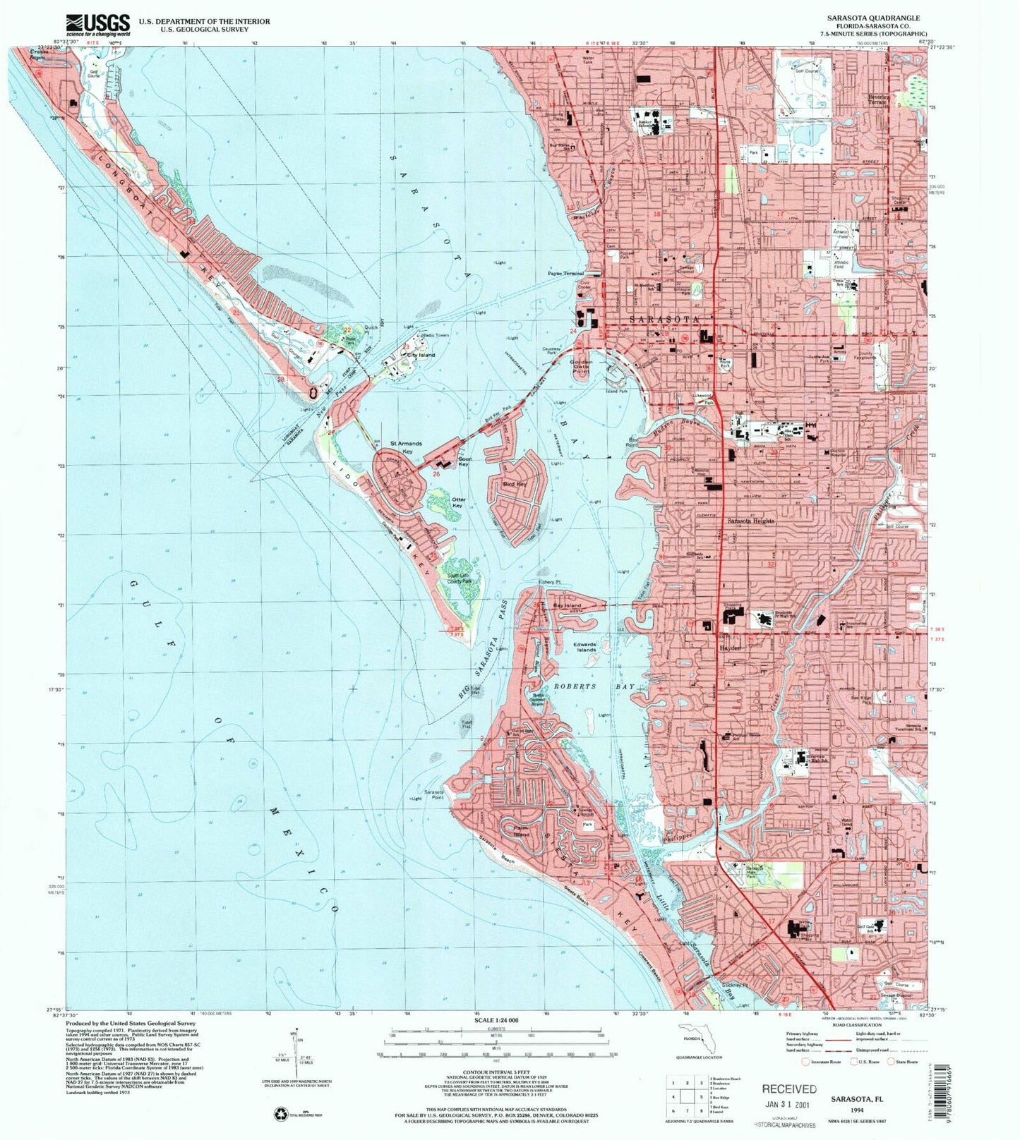
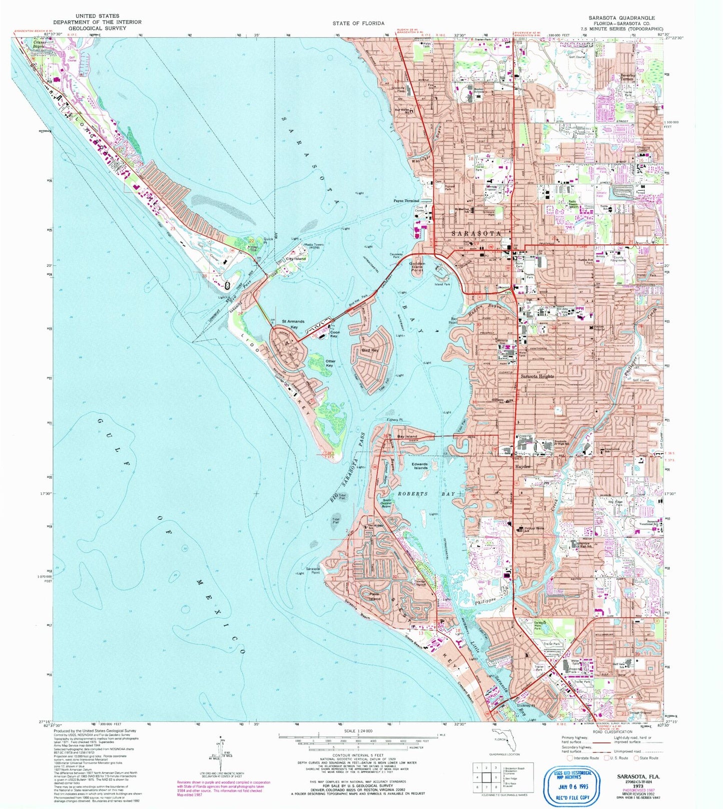
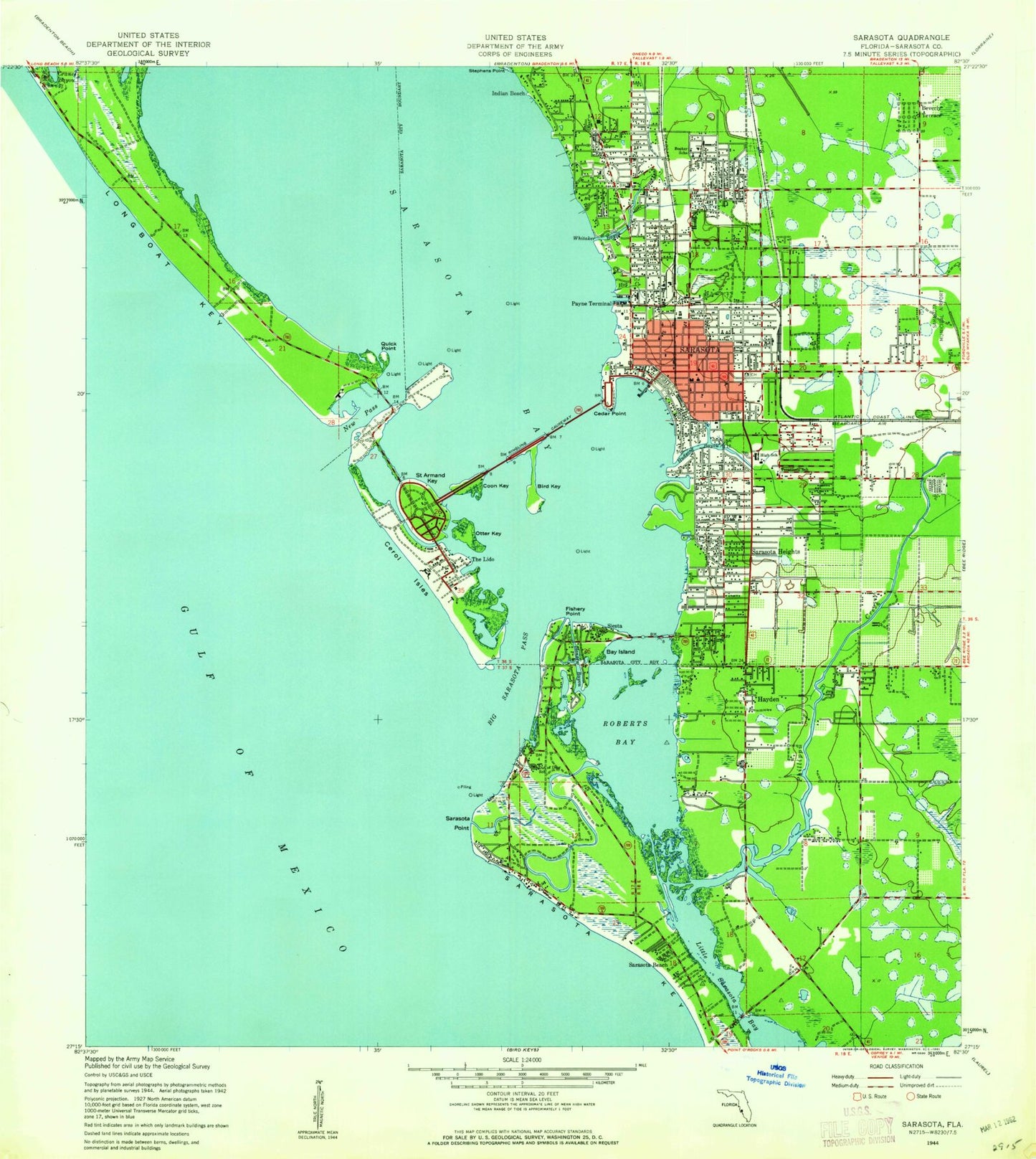
Historical USGS topographic quad map of Sarasota in the state of Florida. Typical map scale is 1:24,000, but may vary for certain years, if available. Print size: 24" x 27"
This quadrangle is in the following counties: Sarasota.
The map contains contour lines, roads, rivers, towns, and lakes. Printed on high-quality waterproof paper with UV fade-resistant inks, and shipped rolled.
Contains the following named places: Alta Vista Elementary School, Bay Haven School of Basics Plus, Bay Island, Bay Point, Bee Ridge Park, Beverley Terrace, Big Sarasota Pass, Bird Key Point, Booker High School, Brookside Middle School, Causeway Park, Golden Gate Point, City Island, Coconut Bayou, Coolidge Park, Coon Key, Crescent Beach, Doctors Hospital, Edwards Islands, Fishery Point, Gillespie Park, Grand Canal, Gulf Gate Elementary School, South Trail, Hudson Bayou, Incarnation School, Island Park, Lukewood Park, New Pass, Otter Key, Palm Island, Payne Park, Phillippi Shores Elementary School, Pioneer Park, Quick Point, Riverview High School, Roberts Bay, Saint Armands Key, Saint Marthas School, Sarasota, Sarasota Beach, Sarasota Heights, Sarasota Memorial Park, Sarasota Point, Siesta Beach, Siesta Key, South Coconut Bayou, Southside Elementary School, Tuttle Avenue Park, Whitaker Bayou, Bird Key, Lido Key, Indian Beach, Out of Door School, Bee Ridge Square, Bay Isles Shopping Center, Colonial Village Shopping Center, Town Plaza, Seaview Center, Crossroads Shopping Center, Gulf Gate Mall, Pelican Plaza Shopping Center, Palm Plaza, Northeast Plaza Shopping Center, Merchants Pointe Shopping Center, The Landing Shopping Center, Village Plaza, Trail Plaza, Town and Country Plaza, Sunbird Place Shopping Center, South Gate Plaza, Sarasota Square, Sarasota Quay Shopping Center, Sarasota Commons Shopping Center, Tony Saprito Fishing Pier South Light, Tony Saprito Fishing Pier North Light, Sarasota Palms Hospital, Sarasota Memorial Hospital, Selby Public Library, Sarasota High School, Tuttle Elementary School, Ringling School of Art and Design, Bailey Hall, Stickney Point, Sarasota Christian Church, First Brethren Church, Southside Baptist Church, Sarasota Baptist Church, First Baptist Church, Kensington Park Baptist Church, Mount Calvary Baptist Church, Ringlin Bridge, Philippe Creek, Payne Terminal, Saint Marthas Catholic Church, WSPB-AM (Sarasota), WSRZ-FM (Sarasota), Memorial Hospital Heliport, Wallace 1 Heliport, Siesta Key, Gulf Gate Estates, North Sarasota, Ridge Wood Heights, Southgate, South Sarasota, Sarasota Division, Hamsen Bayou, South Lido County Park, Longboat Key Fire Rescue Station 2, Sarasota County Fire Department Station 1, Sarasota County Fire Department Station 2, Sarasota County Fire Department Station 3, Sarasota County Fire Department Station 4, Sarasota County Fire Department Station 6, Sarasota County Fire Department Station 11, Sarasota County Fire Department Station 12, Sarasota County Fire Department Station 13, Sarasota Police Department Substation, Sarasota Police Department Substation, Sarasota County Criminal Court, Sarasota County Jail, Sarasota Police Department, Sarasota County Sheriff's Office District 2 Central and District 1 North Office, Sarasota County Sheriff's Office, Sarasota Police Department Gillespie Substation, Sarasota Police Department Substation, Sarasota Police Department Substation, Sarasota School Police Department, Sarasota Emergency Management Office, Federal Bureau of Investigation - Sarasota Resident Agency, Sarasota County Sheriff's Office Siesta Key Substation, Gulf Gate Census Designated Place, Siesta Key Census Designated Place, South Sarasota Census Designated Place, Southgate Census Designated Place, North Sarasota Census Designated Place, Ridge Wood Heights Census Designated Place, City of Sarasota, Bayside Center for Behavioral Health, Ed Smith Stadium, Sarasota Police Department Whole Foods Substation, Gulf Gate Post Office, Sarasota Post Office, Southgate Post Office, Glengarry Post Office, Alta Vista Elementary School, Bay Haven School of Basics Plus, Bay Island, Bay Point, Bee Ridge Park, Beverley Terrace, Big Sarasota Pass, Bird Key Point, Booker High School, Brookside Middle School, Causeway Park, Golden Gate Point, City Island, Coconut Bayou, Coolidge Park, Coon Key, Crescent Beach, Doctors Hospital, Edwards Islands, Fishery Point, Gillespie Park, Grand Canal, Gulf Gate Elementary School, South Trail, Hudson Bayou, Incarnation School, Island Park, Lukewood Park, New Pass, Otter Key, Palm Island, Payne Park, Phillippi Shores Elementary School, Pioneer Park, Quick Point, Riverview High School, Roberts Bay, Saint Armands Key, Saint Marthas School, Sarasota, Sarasota Beach, Sarasota Heights, Sarasota Memorial Park, Sarasota Point, Siesta Beach, Siesta Key, South Coconut Bayou, Southside Elementary School, Tuttle Avenue Park, Whitaker Bayou, Bird Key, Lido Key, Indian Beach, Out of Door School, Bee Ridge Square, Bay Isles Shopping Center, Colonial Village Shopping Center, Town Plaza, Seaview Center, Crossroads Shopping Center, Gulf Gate Mall, Pelican Plaza Shopping Center, Palm Plaza, Northeast Plaza Shopping Center, Merchants Pointe Shopping Center, The Landing Shopping Center, Village Plaza, Trail Plaza, Town and Country Plaza, Sunbird Place Shopping Center, South Gate Plaza, Sarasota Square, Sarasota Quay Shopping Center, Sarasota Commons Shopping Center, Tony Saprito Fishing Pier South Light, Tony Saprito Fishing Pier North Light, Sarasota Palms Hospital, Sarasota Memorial Hospital, Selby Public Library, Sarasota High School, Tuttle Elementary School, Ringling School of Art and Design, Bailey Hall, Stickney Point, Sarasota Christian Church, First Brethren Church, Southside Baptist Church, Sarasota Baptist Church, First Baptist Church, Kensington Park Baptist Church, Mount Calvary Baptist Church


