MyTopo
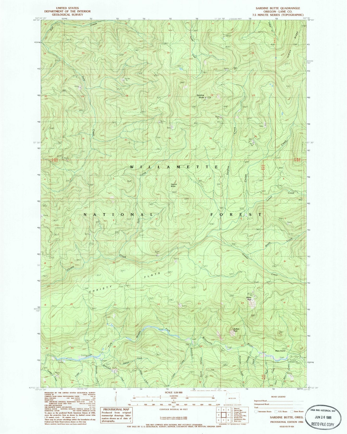
Classic USGS Sardine Butte Oregon 7.5'x7.5' Topo Map
Couldn't load pickup availability
Historical USGS topographic quad map of Sardine Butte in the state of Oregon. Map scale may vary for some years, but is generally around 1:24,000. Print size is approximately 24" x 27"
This quadrangle is in the following counties: Lane.
The map contains contour lines, roads, rivers, towns, and lakes. Printed on high-quality waterproof paper with UV fade-resistant inks, and shipped rolled.
Contains the following named places: Battle Peak, Buffalo Rock, Buzzard Creek, Camp 5, Cedar Creek, Christy Flats, Coffee Creek, Devils Canyon, Evergreen Creek, Grassy Creek, Ingram Butte, Kiahanie Recreation Site, Lefty Creek, Lowell Creek, Major Creek, Major Prairie, Maple Creek, Mill Creek, Mossy Creek, Nehi Creek, North Fork Middle Fork Willamette Wild and Scenic River, Parallel Creek, Parker Creek, Plateau Creek, Platt Creek, Roosevelt Creek, Salt Springs, Sardine Butte, Sardine Creek, Shale Creek, Sidewalk Creek, Silver Creek, Steer Creek, Whiterock Creek