MyTopo
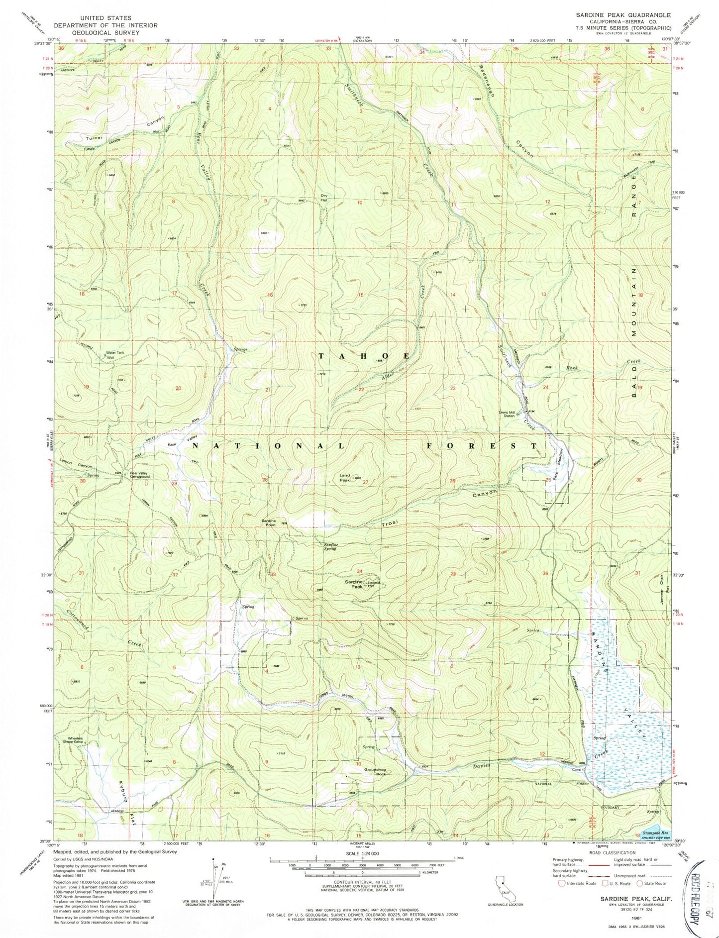
Classic USGS Sardine Peak California 7.5'x7.5' Topo Map
Regular price
$16.95
Regular price
Sale price
$16.95
Unit price
per
Couldn't load pickup availability
Historical USGS topographic quad map of Sardine Peak in the state of California. Map scale may vary for some years, but is generally around 1:24,000. Print size is approximately 24" x 27"
This quadrangle is in the following counties: Sierra.
The map contains contour lines, roads, rivers, towns, and lakes. Printed on high-quality waterproof paper with UV fade-resistant inks, and shipped rolled.
Contains the following named places: Alder Creek, Bear Valley, Bear Valley Campground, Dry Flat Trail, Groundhog Rock, Kyburz Flat, Land Peak, Lewis Mill Station, Pats Meadow, Rock Creek, Sardine Peak, Sardine Point, Sardine Spring, Trosi Canyon, Turner Canyon, Wheelers Sheep Camp