MyTopo
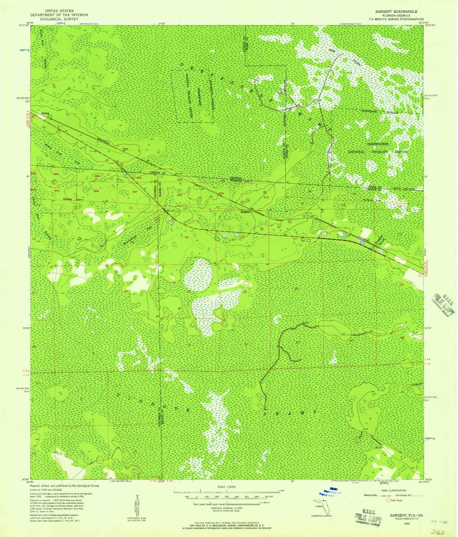
Classic USGS Sargent Florida 7.5'x7.5' Topo Map
Regular price
$16.95
Regular price
Sale price
$16.95
Unit price
per
Couldn't load pickup availability
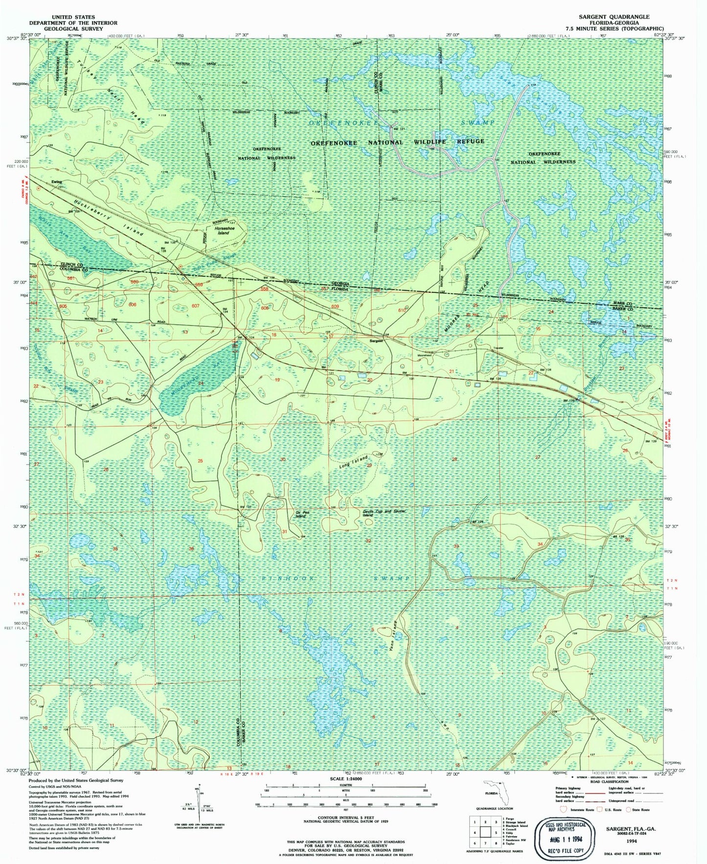
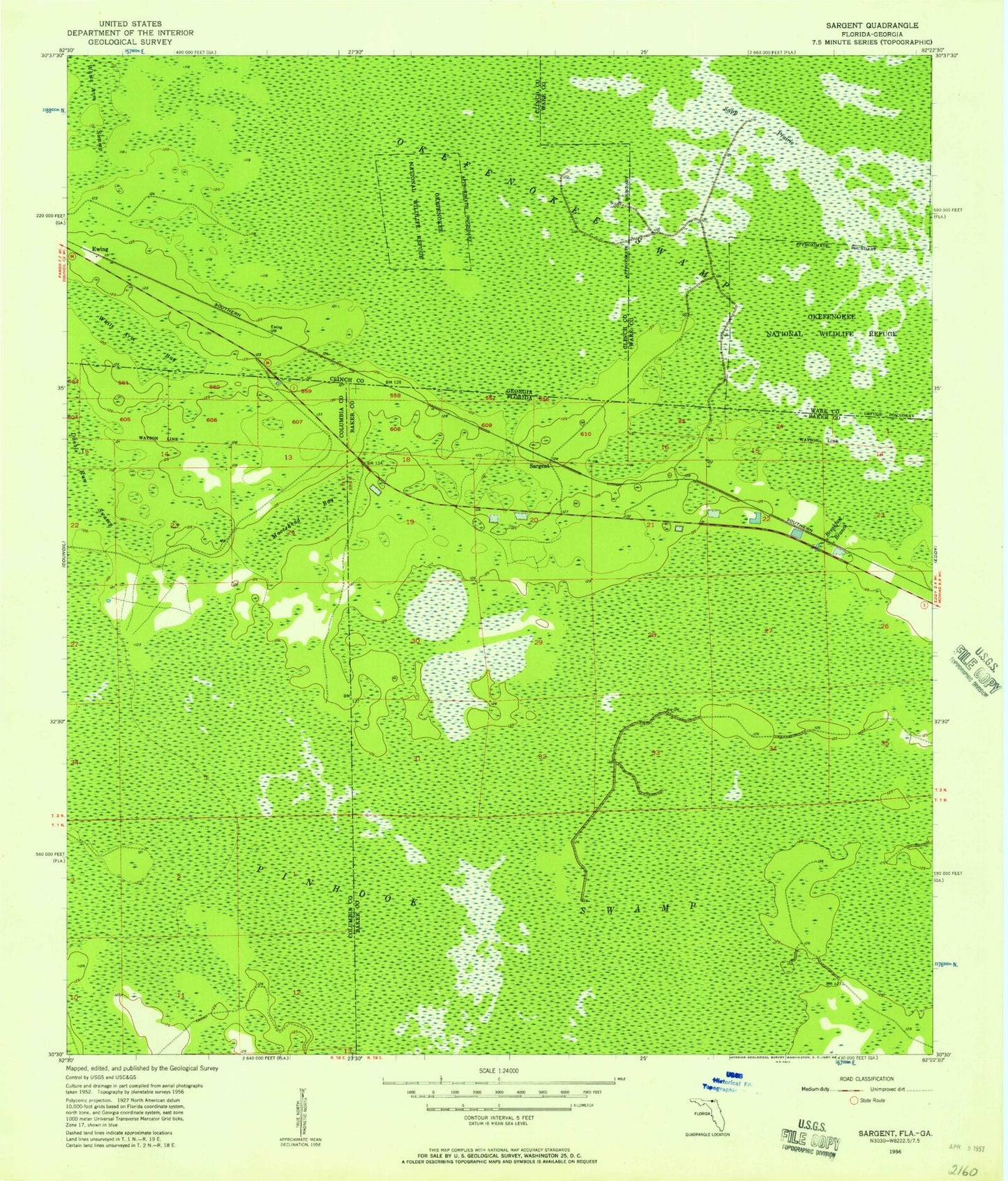
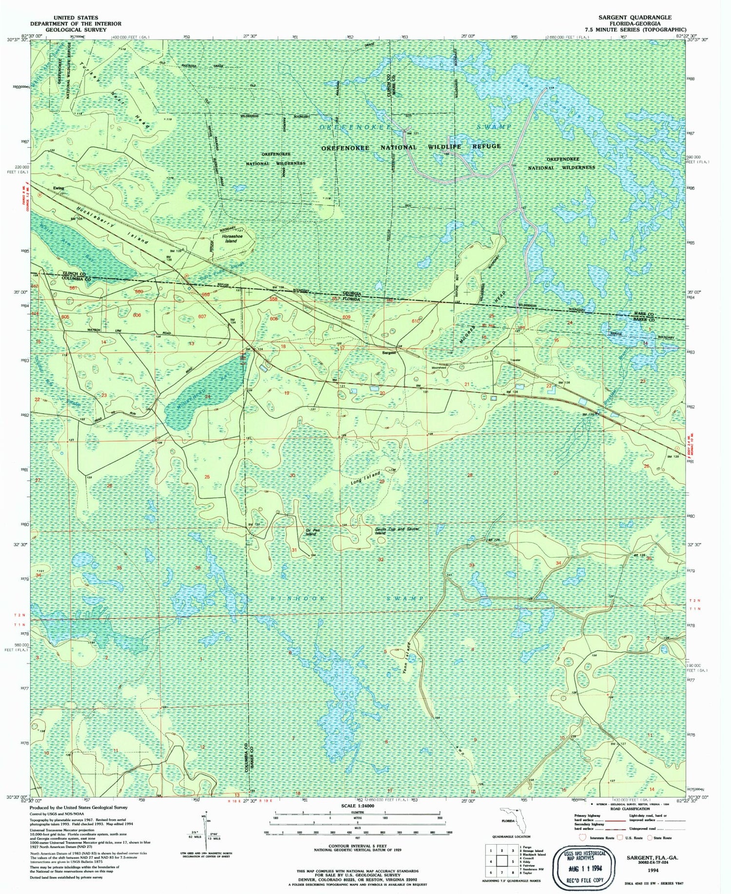
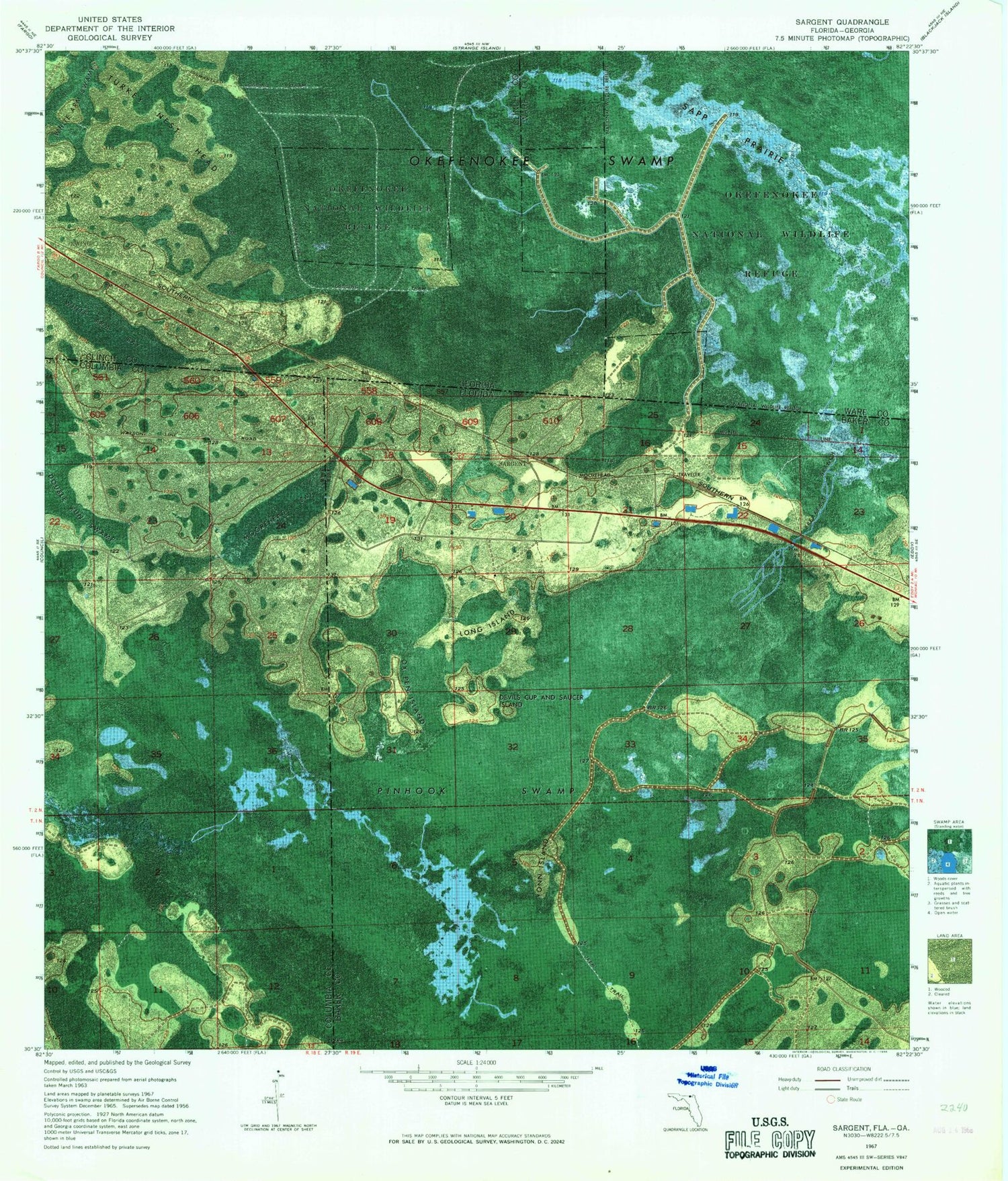
Historical USGS topographic quad map of Sargent in the states of Florida, Georgia. Map scale may vary for some years, but is generally around 1:24,000. Print size is approximately 24" x 27"
This quadrangle is in the following counties: Baker, Clinch, Columbia, Ware.
The map contains contour lines, roads, rivers, towns, and lakes. Printed on high-quality waterproof paper with UV fade-resistant inks, and shipped rolled.
Contains the following named places: Breakfast Branch, Devils Cup and Saucer Island, Long Island, Moorehead Bay, Ox Pen Island, Sapp Prairie, Sargent, Turkey Nest Head, White Arm Bay, White Arm Swamp, Yonn Island