MyTopo
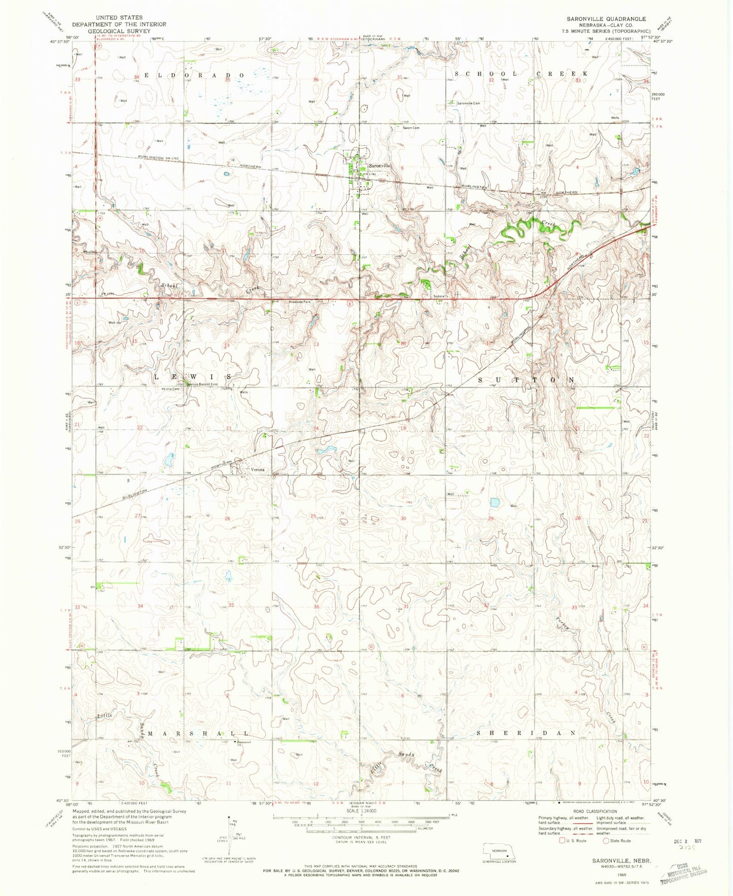
Classic USGS Saronville Nebraska 7.5'x7.5' Topo Map
Couldn't load pickup availability
Historical USGS topographic quad map of Saronville in the state of Nebraska. Map scale may vary for some years, but is generally around 1:24,000. Print size is approximately 24" x 27"
This quadrangle is in the following counties: Clay.
The map contains contour lines, roads, rivers, towns, and lakes. Printed on high-quality waterproof paper with UV fade-resistant inks, and shipped rolled.
Contains the following named places: Emmanuel Church, Hultine Federal Waterfowl Production Area, Percival-Erickson Dam, Percival-Erickson Reservoir, Saron Lutheran Cemetery, Saronville, Saronville Cemetery, Saronville Post Office, Schmer Dam, Schmer Reservoir, Sutton Cooperative Grain Company Elevator, Township of Lewis, Township of Sutton, Verona, Verona Baptist Cemetery, Verona Cemetery, Verona Post Office, Village of Saronville, ZIP Code: 68975