MyTopo
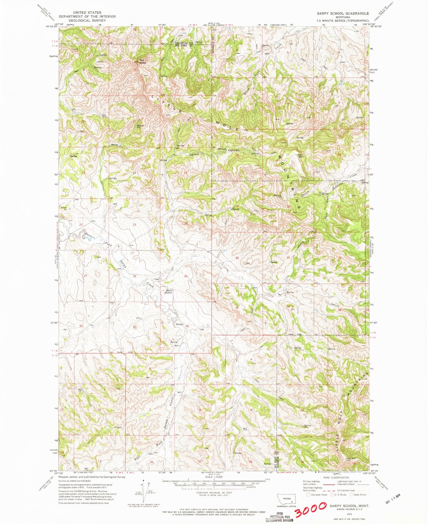
Classic USGS Sarpy School Montana 7.5'x7.5' Topo Map
Couldn't load pickup availability
Historical USGS topographic quad map of Sarpy School in the state of Montana. Map scale may vary for some years, but is generally around 1:24,000. Print size is approximately 24" x 27"
This quadrangle is in the following counties: Big Horn, Rosebud, Treasure.
The map contains contour lines, roads, rivers, towns, and lakes. Printed on high-quality waterproof paper with UV fade-resistant inks, and shipped rolled.
Contains the following named places: 01N38E11BBCB01 Well, 01N38E22AADA01 Well, 01N38E23BBBD01 Well, 01N38E23CCDA01 Well, 01N38E25BCCA01 Well, 01N38E26DBAA01 Well, 01N38E34CDCC01 Well, 01N38E35ACBD01 Well, 01N38E36ADDD01 Well, 01N38E36BACD01 Well, 01N38E36BBCB01 Well, 01N38E36BDAD01 Well, 01N38E36BDAD02 Well, 01N38E36BDAD03 Well, 01N38E36BDBB01 Well, 01N38E36BDBD01 Well, 01N38E36CDBD01 Well, 01N38E36CDCD01 Well, 01N39E05CBB_01 Well, 01N39E19CAAB01 Well, 01N39E30BCAC01 Well, 01N39E30BCDB01 Well, 01N39E30BDCB01 Well, 01N39E31AAAC01 Well, 01N39E31AAAC02 Well, 01S38E12BBDB01 Well, 01S38E12DDBD01 Well, 01S38E13CBDA01 Well, 01S38E14DADB01 Well, 01S39E04BCAC01 Well, 01S39E07CABA01 Well, 01S39E08BBDB01 Well, 01S39E18BDAA01 Well, 01S39E18BDAD01 Well, 02N38E36CDBD01 Well, 02N38E36DCDC01 Spring, 09S39E22CCBC01 Well, Harris Canyon, Little Wolf Mountains, Red Butte, Sarpy, Sarpy Post Office, Sarpy School


