MyTopo
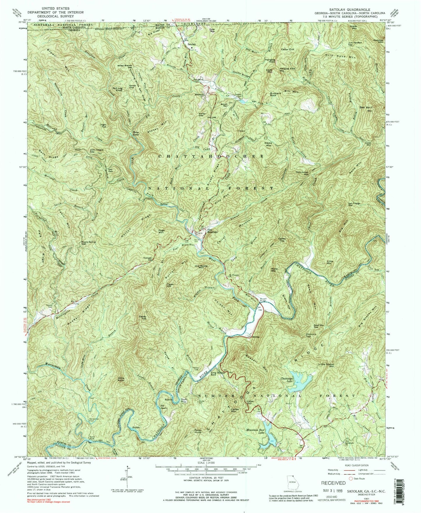
Classic USGS Satolah Georgia 7.5'x7.5' Topo Map
Couldn't load pickup availability
Historical USGS topographic quad map of Satolah in the states of Georgia, South Carolina. Typical map scale is 1:24,000, but may vary for certain years, if available. Print size: 24" x 27"
This quadrangle is in the following counties: Macon, Oconee, Rabun.
The map contains contour lines, roads, rivers, towns, and lakes. Printed on high-quality waterproof paper with UV fade-resistant inks, and shipped rolled.
Contains the following named places: Billingsley Cemetery, Adline Branch, Bee Bait Mountain, Bent Ridge, Big Creek, Big Mountain, Big Ridge, Big Shoals, Bill Mountain, Billingsley Creek, Boston Branch, Brush Ridge, Burrell Branch, Burrell Cemetery, Burrell Mountain, Burrells Ford Trail, Bynum Branch, Cabin Mountain, Camp Branch, Carey Gap, Carrol Mountain, Cedar Cliff, Clear Creek, Cold Mine Branch, Double Bridge Branch, Drip Nose Mountain, Dyer Branch, Galloway Creek, Glade Mountain, Goldmine Branch, Hamby Cemetery, Hanging Rock, Hanging Rock Gap, Hedden Cemetery, Hedden Creek, Henson Branch, Hicks Creek, High Top, Holcomb Creek, Holden Branch, Holden Cemetery, Jim Harden Gap, John Teague Gap, Laurel Branch, Laurel Creek, Law Ground Creek, Little Creek, Long Branch, Macedonia Church, Maple Spring Gap, Metcalf Creek, Millstone Branch, Morsingills Creek, Mose Branch, Mose Mountain, Mount Pleasant Church, Norton Ridge, Oakey Top, Oakey Top, Old Camp Branch, Overflow Creek, Owen Branch, Owl Gap, Page Branch, Page Cemetery, Persimmon Gap, Pigpen Branch, Pigpen Gap, Pin Mill Branch, Pine Mountain, Pounding Mill Creek, Rand Mountain, Reed Creek, Reed Mill Creek, Ridley Branch, Ross Field Branch, Russell Bridge, Salt Log Knob, Salt Trough Gap, Sandy Gap, Sandy Gap, Smith Branch, Stoney Mountain, Stooping White Oak Branch, Stooping White Oak Ridge, Talley Mill Creek, Three Forks Trail, Tottery Pole Creek, Turn Hole, Warwoman Ford, West Fork Chattooga River, Wheel Branch Gap, Willis Knob, Woodall Ridge, Glade Hope Cemetery, Alf Hill, Brack Hill, Brown Mountain, Brown Mountain, Buzzard Rock, Cook Mountain, Dyer Mountain, Earls Ford, Gibbs Mountain, Holden Mountain, Little Mountain, Old Mossy Mountain, Page Mountain, Pine Mountain, Redside Mountain, Satolah, Three Forks, Chattooga Wild and Scenic River, Glade Hope School (historical), Nicholas Ford, Chattooga River Prospect, Hedden Placer Mine, Hicks Mine, Hicks Mine, Laurel Creek Mine, Reid Mine, Cornpen Gap, Warwoman Creek, Satolah Volunteer Fire Station, Long Bottom Ford, Big Shoals, Big Stakey Mountain, Callas Gap, Chattooga Lake, Hickory Top, Ira Branch, Lick Log Creek, Little Stakey Mountain, Moss Mill Creek, Pigpen Branch, Piney Knob, Reed Mountain Gap, Russell Bridge, Russell Mountain, Snyder Cemetery, Highway 28 Recreation Site, Callas Mountain, Reed Mountain, Mountain Rest Lake Dam D-1638, Chattooga Lake Dam D-1637, Gordons Lake Dam D-1640, Gordons Lake, Gates Store (historical), Mill Creek School (historical), Nicholas Ford, Russell (historical), Village Creek School (historical), Bethlehem Baptist Church Graveyard, Long Bottom Ford, Bethlehem Baptist Church, Earls Ford Recreation Site, Mountain Rest Lake


