MyTopo
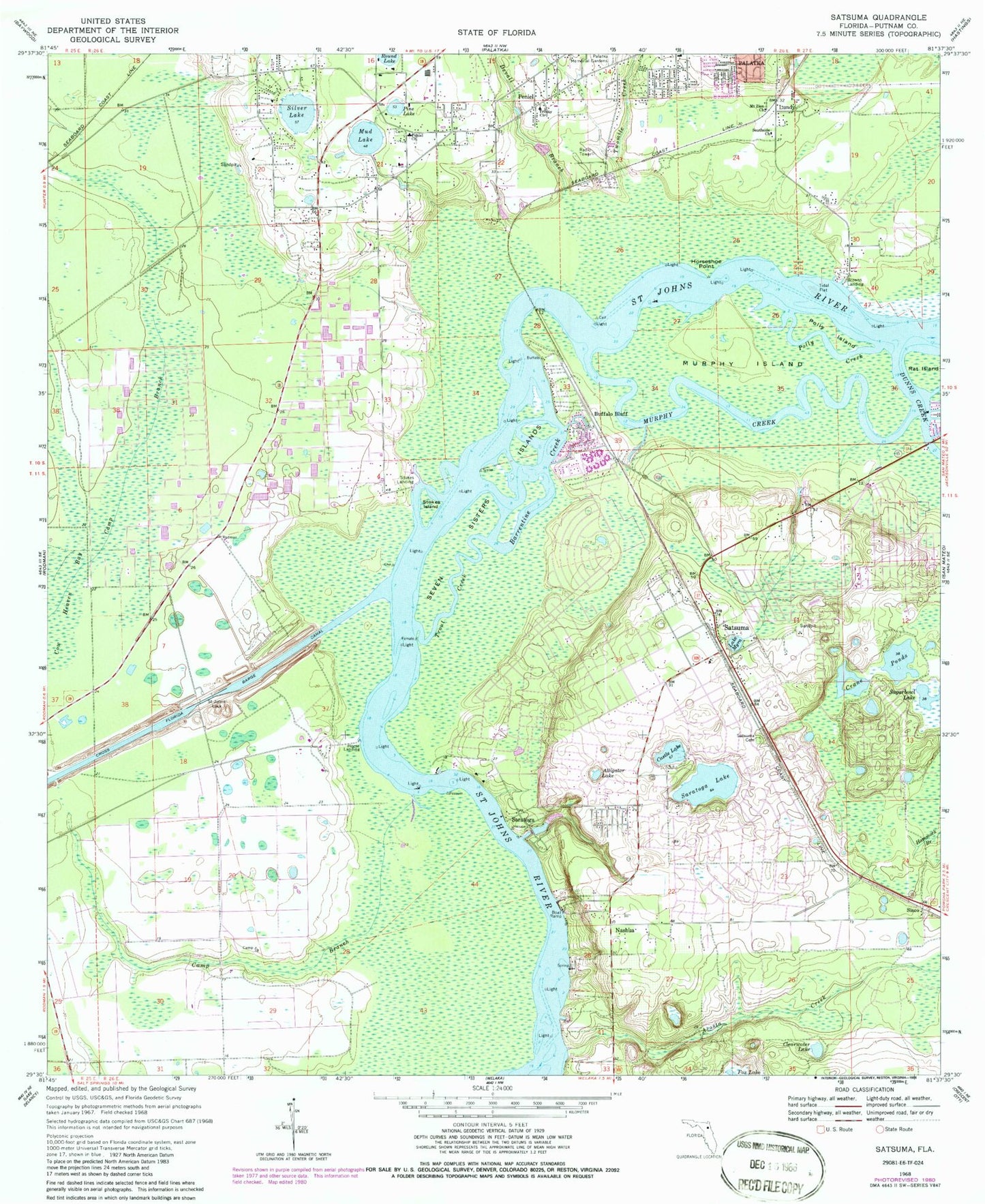
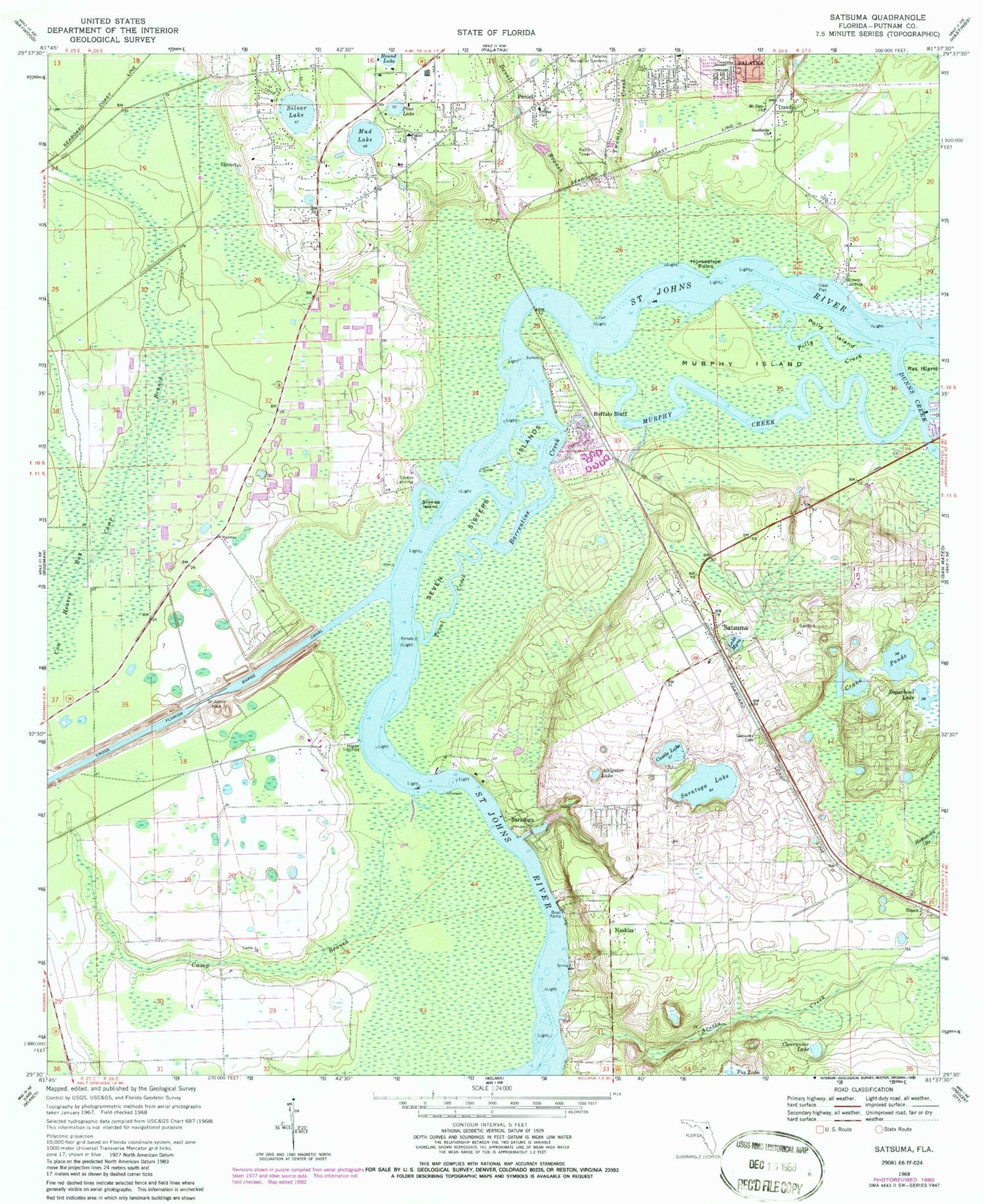
Classic USGS Satsuma Florida 7.5'x7.5' Topo Map
Couldn't load pickup availability
Historical USGS topographic quad map of Satsuma in the state of Florida. Map scale may vary for some years, but is generally around 1:24,000. Print size is approximately 24" x 27"
This quadrangle is in the following counties: Putnam.
The map contains contour lines, roads, rivers, towns, and lakes. Printed on high-quality waterproof paper with UV fade-resistant inks, and shipped rolled.
Contains the following named places: Acosta Creek, All Saints Anglican Church, Alligator Lake, Bainbridge Road Mobile Home Park, Barrentine Creek, Browns Landing, Buffalo Bluff, Calvary Baptist Church, Camp Branch, Castle Lake, Christ Independent Methodist Church, Church of Christ of Westside, Church of Life Tabernacle, City of Palatka, City of Palatka Wastewater Treatment Plant, Clearwater Lake, Crane Ponds, Cross Florida Barge Canal, Devall Branch, Domingo Acosta Grant, Dunns Creek, Ezra's Landing Mobile Home Park, Grace Community Baptist Church, Grand View Grove, Horse Landing, Horseshoe Point, Isabellas Place Mobile Home Park, Lake Myra, Lib Field, Liberty Baptist Church, Lundy, Miguel Crosby Grant, Mount Zion Church, Mud Lake, Murphy Creek, Murphy Island, Murphy Island Post Light, Nashua, Okawahathako, Peniel, Peniel Baptist Church Academy, Peniel Cemetery, Peniel Church, Pine Lake, Polly Creek, Polly Island, Possum Bluff, Putnam County, Putnam County Emergency Medical Services Rescue Station 83, Putnam County Sheriff's Office South District, Rat Island, Rodeheaven Boys Ranch, Saint John Lutheran Church, Saint Johns Lock, Saratoga, Saratoga Lake, Saratoga Post Office, Satsuma, Satsuma Cemetery, Satsuma Fire Department, Satsuma Post Office, Seminole Grove, Seven Sisters Islands, Silver Lake, Silver Lake Oaks Mobile Home Village, Sisco, Southside Baptist Church, Southside Church, Southwest Volunteer Fire Department, Stokes Island, Stokes Landing, Sugarbowl Lake, Tall Timbers Mobile Home Park, Trinity Church, Trout Creek, Trout Island, Twomile Creek, ZIP Codes: 32189, 32193


