MyTopo
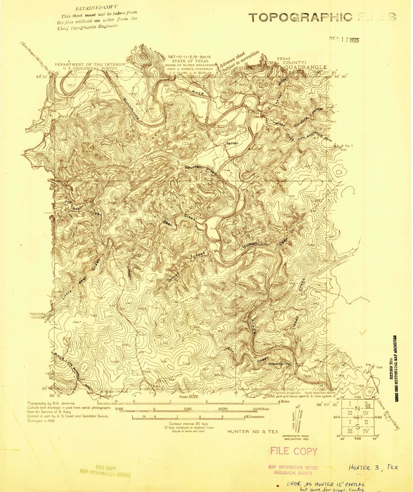
Classic USGS Sattler Texas 7.5'x7.5' Topo Map
Couldn't load pickup availability
Historical USGS topographic quad map of Sattler in the state of Texas. Typical map scale is 1:24,000, but may vary for certain years, if available. Print size: 24" x 27"
This quadrangle is in the following counties: Comal.
The map contains contour lines, roads, rivers, towns, and lakes. Printed on high-quality waterproof paper with UV fade-resistant inks, and shipped rolled.
Contains the following named places: Bear Creek, Canyon City, Church in the Valley, Cordova Hollow, Deep Creek, Dry Bear Creek, Elm Creek, Horseshoe Falls, Isaac Creek, Jacobs Creek, Little Bear Creek, Mountain Creek, Sattler, Slumber Falls, Tausch Creek, Turkey Creek, Waco Spring, Heiser Hollow, First Crossing, Fourth Crossing, Second Crossing, Third Crossing, Canyon Dam, Bear Springs, Mountain Valley Elementary School (historical), Mountain Valley Intermediate School (historical), Hueco Springs, Comal Park, Overlook Park, North Park, Guadalupe Park Trail, Buffalo Springs (historical), Canyon Lake Fire and Emergency Medical Service Station 4, Canyon Lake Fire and Emergency Medical Service Headquarters, Canyon Lake Post Office, Jehovah Witness Congregation, Canyon Lake Fire - Emergency Medical Service Station 51, Canyon Lake Fire - Emergency Medical Service Station 55, Comal County Constable's Office Precinct 4


