MyTopo
Classic USGS Sattley California 7.5'x7.5' Topo Map
Couldn't load pickup availability
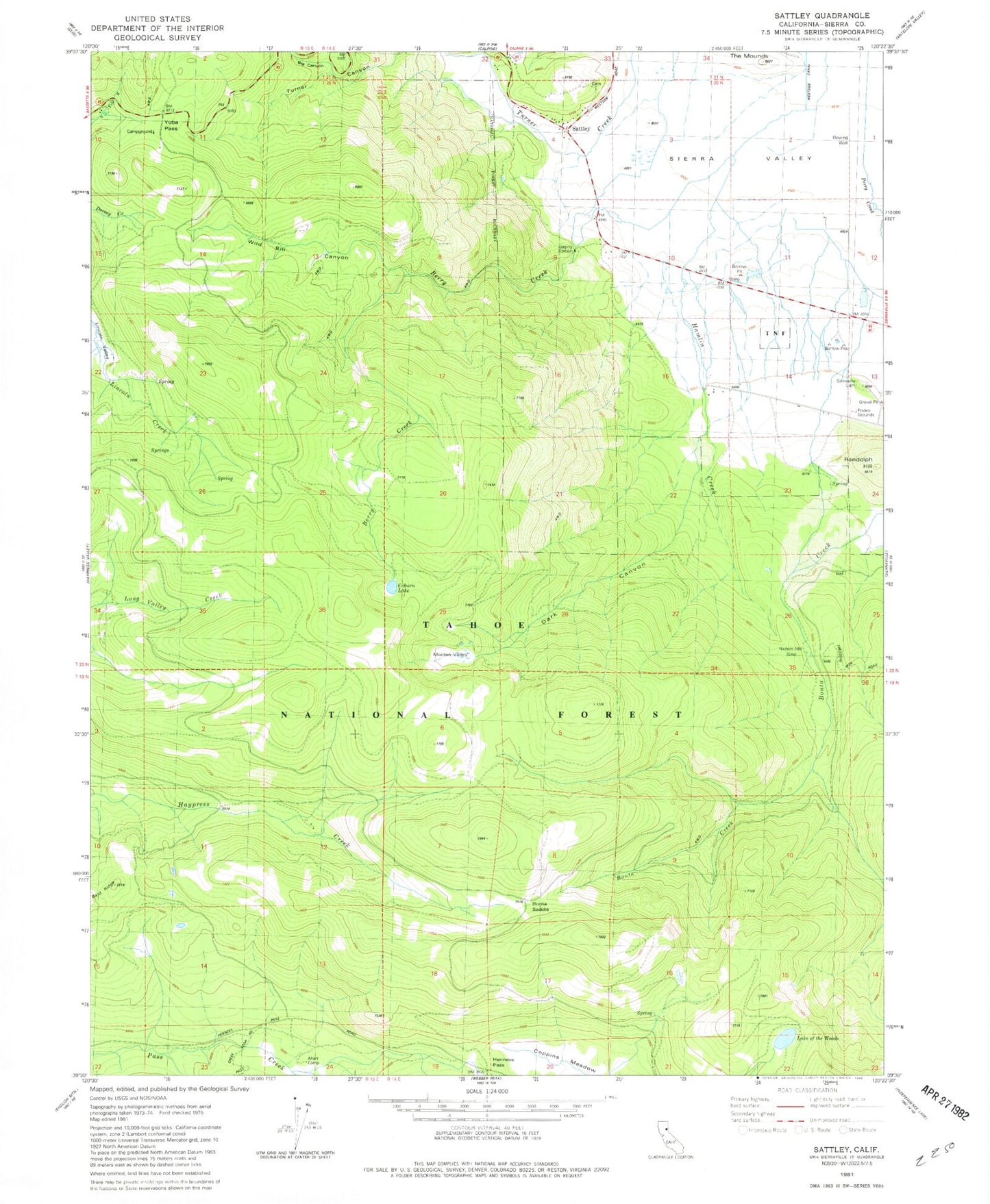
Historical USGS topographic quad map of Sattley in the state of California. Typical map scale is 1:24,000, but may vary for certain years, if available. Print size: 24" x 27"
This quadrangle is in the following counties: Sierra.
The map contains contour lines, roads, rivers, towns, and lakes. Printed on high-quality waterproof paper with UV fade-resistant inks, and shipped rolled.
Contains the following named places: Ahart Camp, Big Canyon, Church Camp, Coburn Lake, Dark Canyon, Dark Canyon Trail, Franklin Cabin, Hamlin Creek, Henness Pass, Maiden Valley, Nichols Mill, Randolph Hill, Sattley, The Mounds, Lake of The Woods, Yuba Pass, Bonta Saddle, Berry Creek, Turner Canyon, Yubas Pass Campground, Franklin Cabin, Sierraville Cemetery, Wild Bill Canyon, Sattley Post Office, Sierra County Fire Protection District 3 - Sattley, Sattley Cemetery