MyTopo
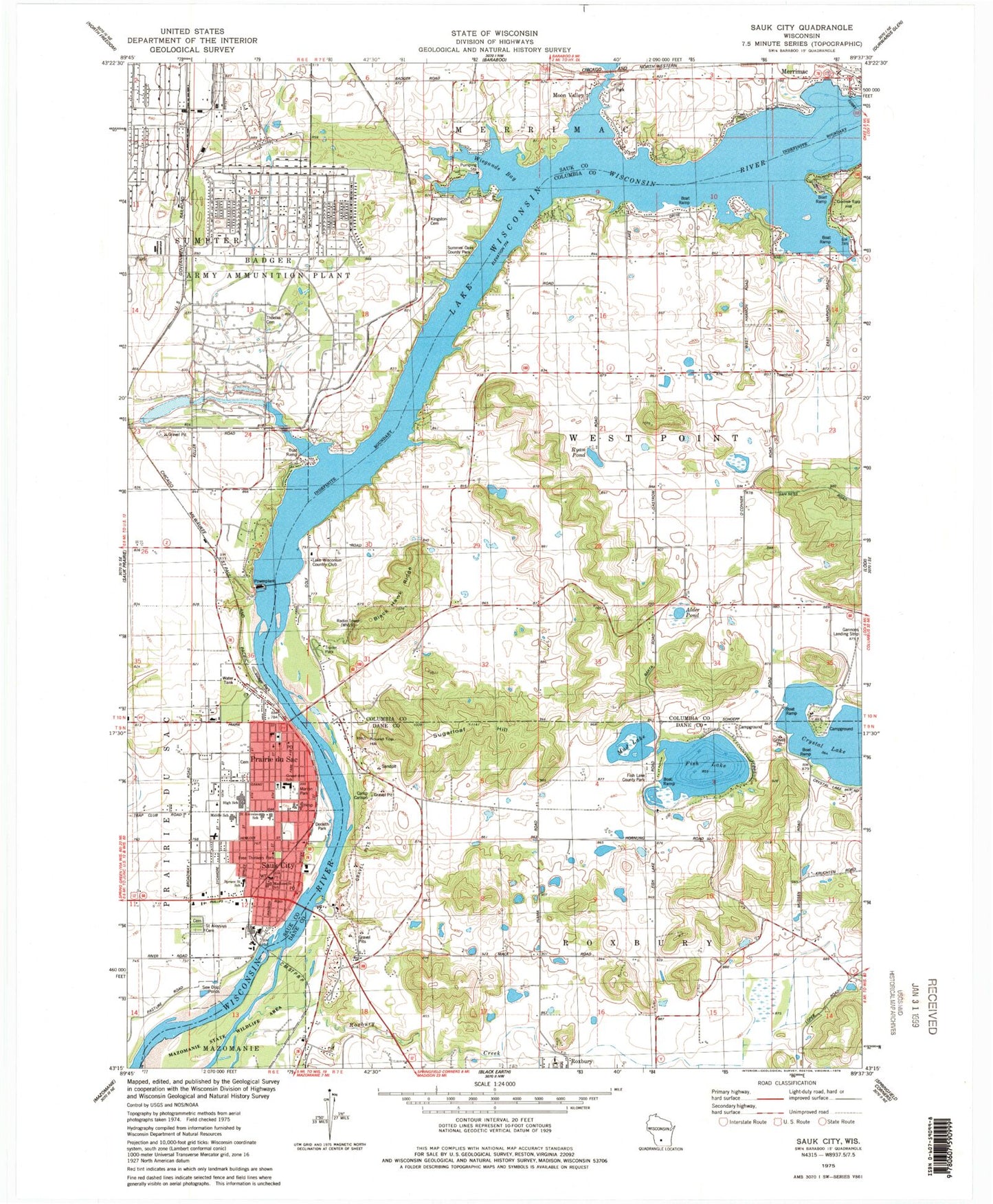
Classic USGS Sauk City Wisconsin 7.5'x7.5' Topo Map
Couldn't load pickup availability
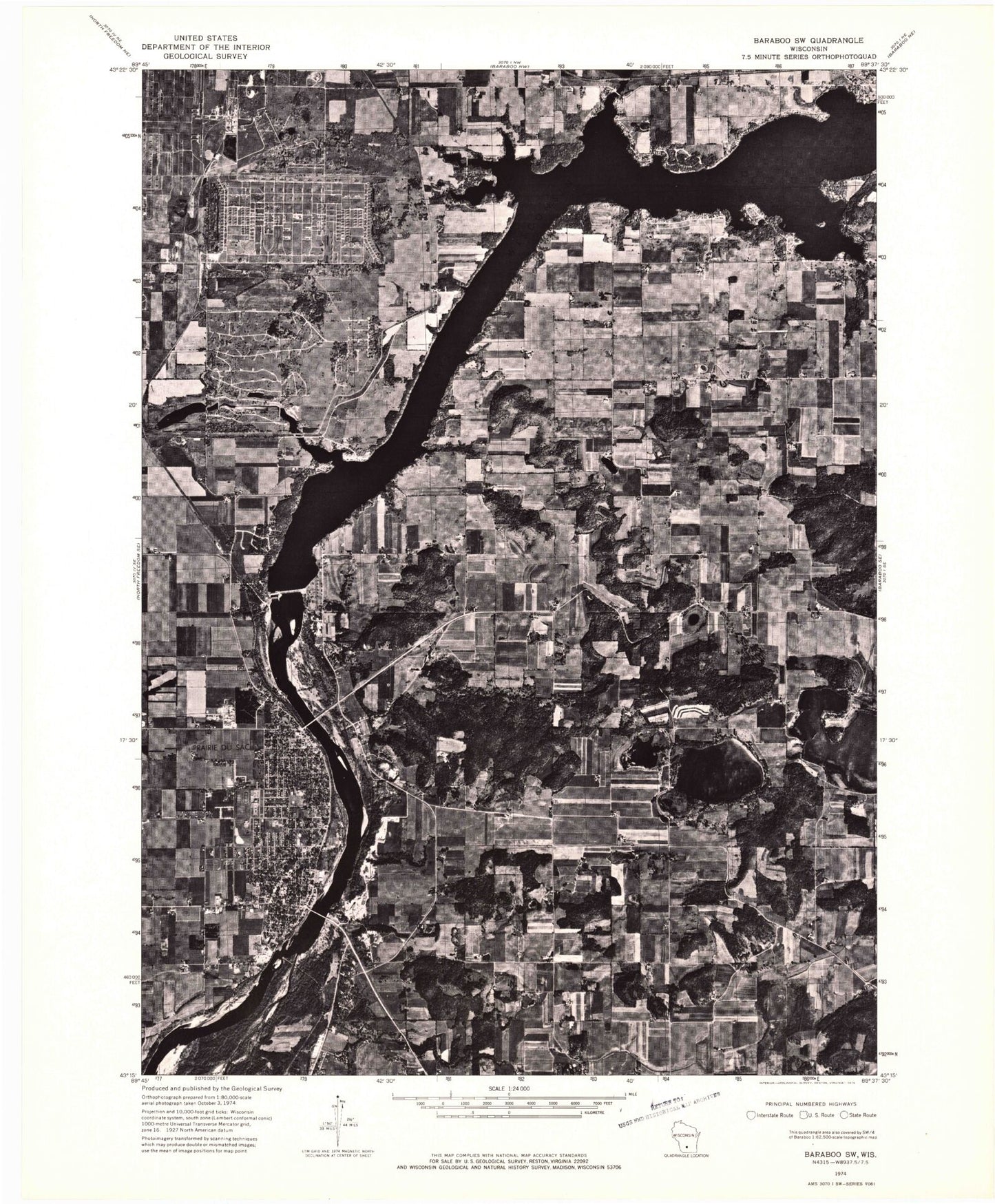
Historical USGS topographic quad map of Sauk City in the state of Wisconsin. Typical map scale is 1:24,000, but may vary for certain years, if available. Print size: 24" x 27"
This quadrangle is in the following counties: Columbia, Dane, Sauk.
The map contains contour lines, roads, rivers, towns, and lakes. Printed on high-quality waterproof paper with UV fade-resistant inks, and shipped rolled.
Contains the following named places: Alder Pond, Black Hawk Ridge, Camp Carlson, Derleth Park, Fish Lake, Fish Lake County Park, Free Thinkers Park, Goose Egg Hill, Grand Avenue Elementary School, Kingston Cemetery, Madison Street School, Marion Park, Mazomanie State Wildlife Area, Middle School, Moon Valley, Mud Lake, Prairie du Sac, Round Top Hill, Ryan Pond, Saint Aloysius School, Saint Aloysius Cemetery, Sauk City, Spruce Street Elementary School, Sugarloaf Hill, Summer Oaks County Park, Thoelke Cemetery, Village Park, Wiegands Bay, Lake Wisconsin Country Club, Village of Merrimac, Village of Prairie du Sac, Village of Sauk City, Town of West Point, Prairie Du Sac 1907c189 Dam, Mosquito Island, Saint Norberts German Catholic Church, Gannons Landing Strip (historical), Alice Graf Park, Calvary Baptist Church, Concordia United Methodist Church, Firemans Park, First Presbyterian Church, First Reformed Church (historical), First United Church, Freie Gemeinde Hall, Hahn House Museum, Junge Park, Prairie du Sac Cemetery, Prairie du Sac Post Office, Saint Aloysius Catholic Church, Saint James Evangelical Lutheran Church, Saint Johns Evangelical Lutheran Church, Sauk City Cemetery, Sauk City Post Office, Sauk City Public Library, Sauk Prairie Evangelical Free Church, Sauk Prairie High School, Sauk Prairie Middle School, Tripp Memorial Library and Museum, Pine Vista Mobile Home Park, Prairie du Sac Fire Department, Sauk City Fire Department, Sauk Prairie Ambulance Association, Sauk Prairie Police Department


