MyTopo
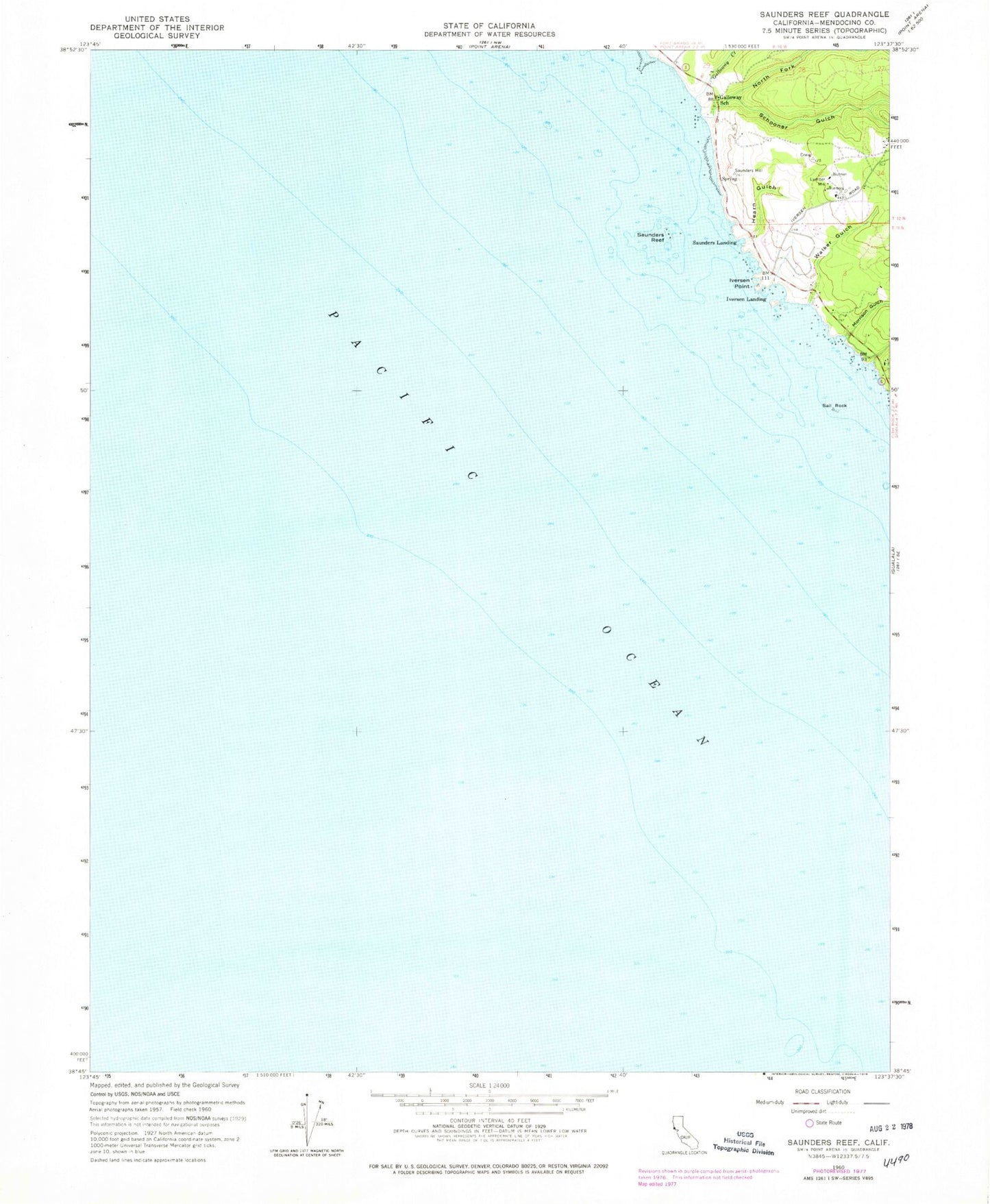
Classic USGS Saunders Reef California 7.5'x7.5' Topo Map
Couldn't load pickup availability
Historical USGS topographic quad map of Saunders Reef in the state of California. Map scale may vary for some years, but is generally around 1:24,000. Print size is approximately 24" x 27"
This quadrangle is in the following counties: Mendocino, Sonoma.
The map contains contour lines, roads, rivers, towns, and lakes. Printed on high-quality waterproof paper with UV fade-resistant inks, and shipped rolled.
Contains the following named places: Bowling Ball Beach, Gallaway, Galloway Creek, Galloway School, Hearn Gulch, Iversen Landing, Iversen Point, Morrison Gulch, North Fork Schooner Gulch, Sail Rock, Sail Rock Ranch, Saunders Landing, Saunders Reef, Schooner Gulch, Schooner Gulch State Beach, Shinglemill Gulch, Slick Rock Creek, Walker Gulch