MyTopo
Classic USGS Savage Point Tennessee 7.5'x7.5' Topo Map
Couldn't load pickup availability
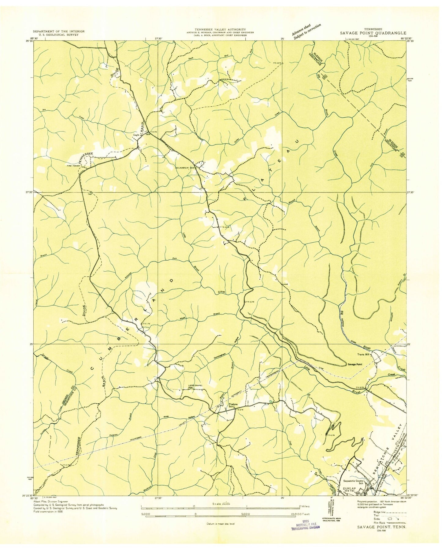
Historical USGS topographic quad map of Savage Point in the state of Tennessee. Typical map scale is 1:24,000, but may vary for certain years, if available. Print size: 24" x 27"
This quadrangle is in the following counties: Bledsoe, Grundy, Sequatchie.
The map contains contour lines, roads, rivers, towns, and lakes. Printed on high-quality waterproof paper with UV fade-resistant inks, and shipped rolled.
Contains the following named places: Long Ridge, Short Ridge, Short Ridge Creek, Signal Point, Smith Point, Wolfpen Mountain, Yellow Springs Church, Rickett Branch, Anderson Branch, Bearwallow Creek, Boyd Creek, Cunningham Hollow, Ferguson Branch, Flat Mountain, Flat Mountain Church, Flatrock Branch, Hester Branch, Hurricane Branch, Kelley Creek, Kelly Branch, King Branch, King Cemetery, Lands Chapel Cemetery, Lockhart Hill, Long Branch, Long Ridge, Mansfield Branch, Maple Branch, McGlothen Cemetery, Mount Pleasant Church, Nichols Branch, Nichols Mountain, Pine Branch, Price Hollow, Rankin Branch, Reynolds Creek, Roberson Fork, Rocky Branch, Savage Point, Sequatchie County High School, Deerhead Dam, Deerhead Lake, Sequatchie County Junior High School, Sequatchie County Middle School, Sequatchie-Bledsoe Vocational Center, Brush Creek, Cagle, Fredonia, Cagle School (historical), Fredonia School (historical), Lands Chapel School (historical), Dunlap Division (historical), Commissioner District 2, Commissioner District 4, Sequatchie County Ambulance Service, Fredonia Volunteer Fire Department, Cagle Volunteer Fire Department, Sequatchie Fire Tower, Wheeler's Apple Orchard, Sequatchie County Sheriff's Department, Commissioner District 9, Long Ridge, Short Ridge, Short Ridge Creek, Signal Point, Smith Point, Wolfpen Mountain, Yellow Springs Church, Rickett Branch, Anderson Branch, Bearwallow Creek, Boyd Creek, Cunningham Hollow, Ferguson Branch, Flat Mountain, Flat Mountain Church, Flatrock Branch, Hester Branch, Hurricane Branch, Kelley Creek, Kelly Branch, King Branch, King Cemetery, Lands Chapel Cemetery, Lockhart Hill, Long Branch, Long Ridge, Mansfield Branch, Maple Branch, McGlothen Cemetery, Mount Pleasant Church, Nichols Branch, Nichols Mountain, Pine Branch, Price Hollow, Rankin Branch, Reynolds Creek, Roberson Fork, Rocky Branch, Savage Point, Sequatchie County High School, Deerhead Dam, Deerhead Lake, Sequatchie County Junior High School, Sequatchie County Middle School, Sequatchie-Bledsoe Vocational Center, Brush Creek, Cagle, Fredonia, Cagle School (historical), Fredonia School (historical), Lands Chapel School (historical), Dunlap Division (historical), Commissioner District 2, Commissioner District 4, Sequatchie County Ambulance Service, Fredonia Volunteer Fire Department, Cagle Volunteer Fire Department, Sequatchie Fire Tower, Wheeler's Apple Orchard, Sequatchie County Sheriff's Department, Commissioner District 9


