MyTopo
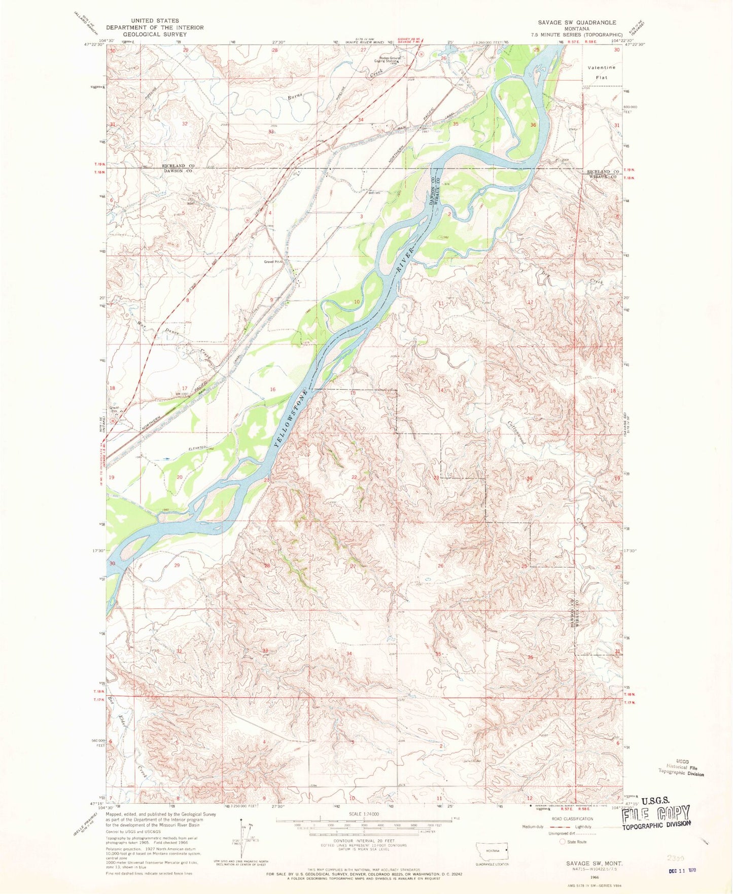
Classic USGS Savage SW Montana 7.5'x7.5' Topo Map
Couldn't load pickup availability
Historical USGS topographic quad map of Savage SW in the state of Montana. Map scale may vary for some years, but is generally around 1:24,000. Print size is approximately 24" x 27"
This quadrangle is in the following counties: Dawson, Richland, Wibaux.
The map contains contour lines, roads, rivers, towns, and lakes. Printed on high-quality waterproof paper with UV fade-resistant inks, and shipped rolled.
Contains the following named places: 17N57E02DC__01 Well, 18N57E03AB__01 Well, 18N57E03ABAB01 Well, 18N57E04AA__01 Well, 18N57E04CD__01 Well, 18N57E04DD__01 Well, 18N57E06ADDA01 Well, 18N57E09DBAB01 Well, 18N57E10BB__01 Well, 18N57E11DACB01 Well, 18N57E15ADCC01 Well, 18N57E17BD__01 Well, 18N57E19AD__01 Well, 18N57E20BC__01 Well, 18N57E24DDAA01 Well, 18N57E29DDBD01 Well, 19N57E26DD__01 Well, 19N57E27DDAC01 Well, 19N57E34CC__01 Well, Black Tail Coulee, Burns Creek, Burns Lake, Chrome Island, Cottonwood Creek, Dry Creek, Idiom Island, Loughboro School, Lufboro, Marco, Marco Post Office, Snake Island, War Dance Creek, Washington School