MyTopo
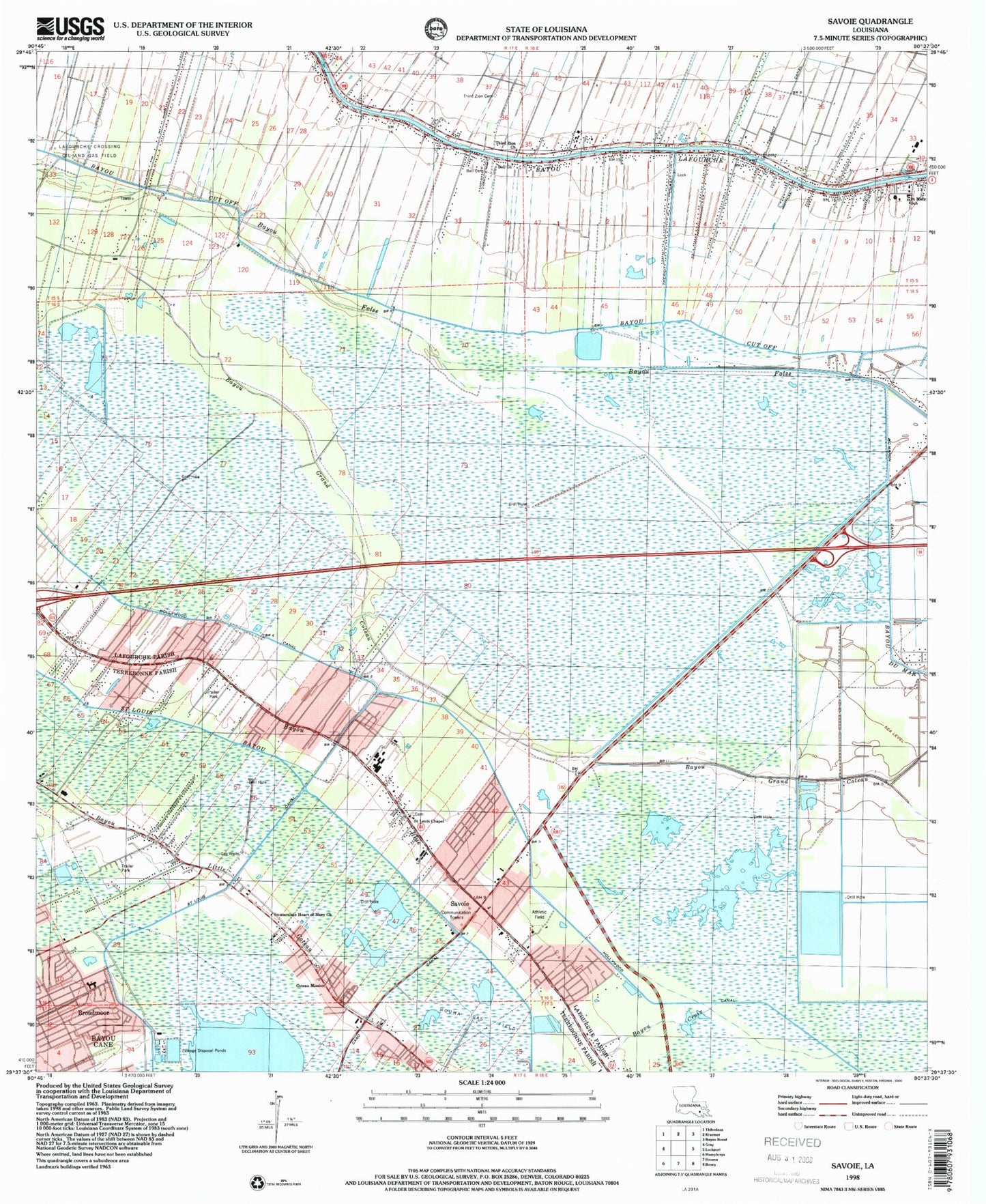
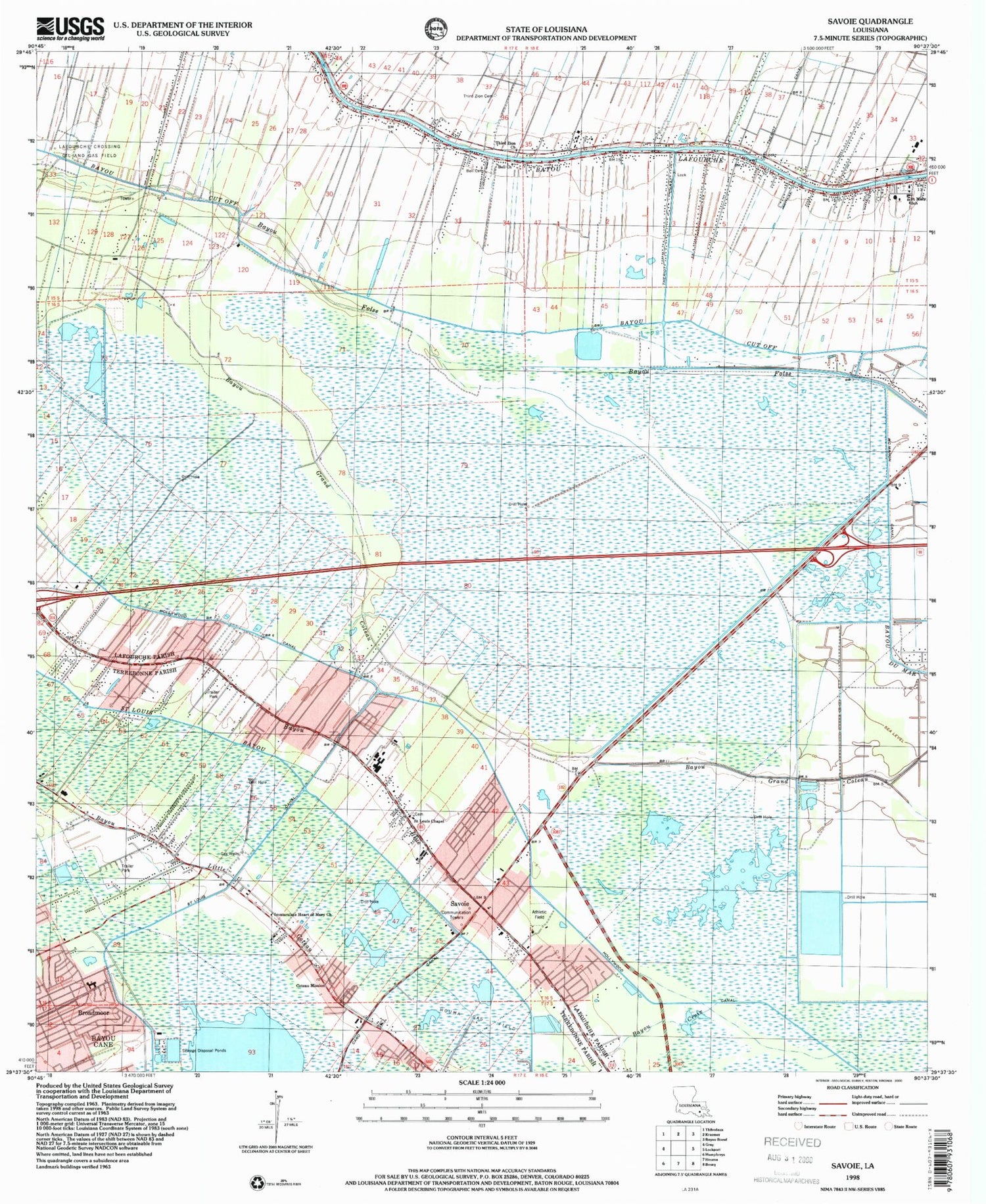
Classic USGS Savoie Louisiana 7.5'x7.5' Topo Map
Couldn't load pickup availability
Historical USGS topographic quad map of Savoie in the state of Louisiana. Map scale may vary for some years, but is generally around 1:24,000. Print size is approximately 24" x 27"
This quadrangle is in the following counties: Lafourche, Terrebonne.
The map contains contour lines, roads, rivers, towns, and lakes. Printed on high-quality waterproof paper with UV fade-resistant inks, and shipped rolled.
Contains the following named places: Bayou Blue Census Designated Place, Bayou Blue Elementary School, Bayou Blue Middle School, Bayou Blue School, Bayou Blue Volunteer Fire Department, Bayou Croix, Bell Baptist Church Cemetery, Bell Church, Bergeron School, Blouin Flightpark Ultralight Flightpark, Boudoin Foret School, Brien's Mobile Village, Broadmoor, Broadmoor Elementary School, Capri Court Mobile Home Park, Caro Canal, Colonial Acres Golf Course, Coteau - Bayou Blue Elementary School, Coteau Mission, Coteau Volunteer Fire Department, Faith Trailer Court, Floyd Court Mobile Home Park, Galilean Baptist Church, Hollywood Canal, Immaculate Heart of Mary Church, Lafourche Crossing Oil and Gas Field, Lafourche Parish Fire District 1 Station 3, Lafourche Parish Fire District 1 Station 5, Lafourche Parish Library Bayou Blue Branch, Lafourche Parish Sheriff's Office, McMahon Canal, Northeast Houma Gas Field, Parish Governing Authority District L, Pierce Field, Porche School, Raceland Census Designated Place, Remwood Mobile Home Park, Saint Louis Chapel, Saint Marys Church, Saint Mary's Nativity Cemetery, Saint Mary's Nativity School, Savoie, Theriot Siding, Third Zion Cemetery, Third Zion Church, Ward Eleven, Willow Woods Gas Field, Willow Woods School, ZIP Code: 70364


