MyTopo
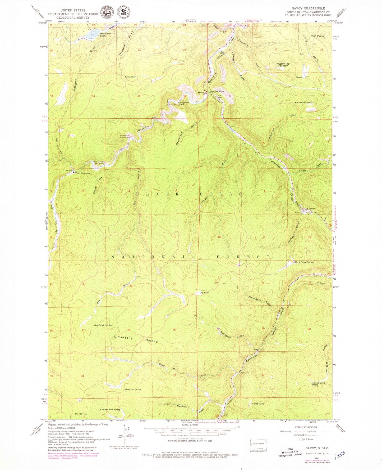
Classic USGS Savoy South Dakota 7.5'x7.5' Topo Map
Couldn't load pickup availability
Historical USGS topographic quad map of Savoy in the state of South Dakota. Typical map scale is 1:24,000, but may vary for certain years, if available. Print size: 24" x 27"
This quadrangle is in the following counties: Lawrence.
The map contains contour lines, roads, rivers, towns, and lakes. Printed on high-quality waterproof paper with UV fade-resistant inks, and shipped rolled.
Contains the following named places: Annie Creek, Breakneck Gulch, Calamity Gulch, Dead Ox Creek, Dead Ox Spring, Deadhorse Gulch, Dry Gulch, Dry Gulch Spring, Dry Lake, Elk Mountain, Elmore, Hellsgate Gulch, Holland Camp Spring, Iron Creek, Iron Creek Lake, Iron Creek Trail, Jackass Gulch, Johnson Gulch, Limestone Plateau, Little Spearfish Creek, Little Spearfish Guard Station, McKinley Gulch, Number Six Spring, North Park, Park Camp Spring, Pettigrew Gulch, Preston, Raddick Gulch, Ragged Top Mountain, Ranger Draw, Red Lake, Rod and Gun Campground, Roughlock Falls, Spearfish Falls, Sweet Betsey Gulch, Timber Gulch, Timon Campground, Twin Peaks, What the Hell Spring, Iron Creek Dam, Roughlock Falls Picnic Area, Rim Rock Trail, Sheep Flats (historical), Ragged Top (historical), Nerve City (historical), Lost Camp (historical), Dacy (historical), Anchor II (historical), Balmoral (historical), Metallic Streak Mine, Ulster Mine, Eva H and Silver Tongue Mine, Savoy, Ragged Top (historical), Spearfish Canyon Fire Protection District, Preston Ghost Town Cemetery


