MyTopo
Classic USGS Sawmill Canyon Wyoming 7.5'x7.5' Topo Map
Regular price
$16.95
Regular price
Sale price
$16.95
Unit price
per
Couldn't load pickup availability
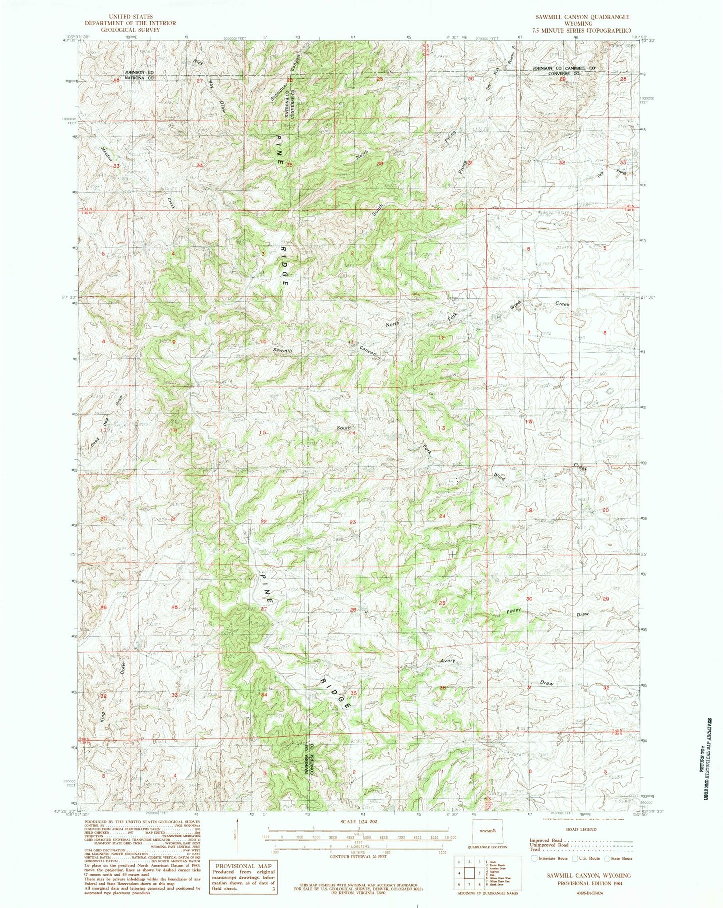
Historical USGS topographic quad map of Sawmill Canyon in the state of Wyoming. Map scale may vary for some years, but is generally around 1:24,000. Print size is approximately 24" x 27"
This quadrangle is in the following counties: Campbell, Converse, Johnson, Natrona.
The map contains contour lines, roads, rivers, towns, and lakes. Printed on high-quality waterproof paper with UV fade-resistant inks, and shipped rolled.
Contains the following named places: Baker Numbers Three-five Mine, Bob Reservoir, Gafford Dam, Gafford Ranch, Gafford Reservoir, North Prong Dry Fork Powder River, Pine Ridge, Sawmill Canyon, Sherwood Oil Field, South Prong Dry Fork Powder River