
MyTopo
USGS Classic Sawmill Mountain California 7.5'x7.5' Topo Map
Couldn't load pickup availability
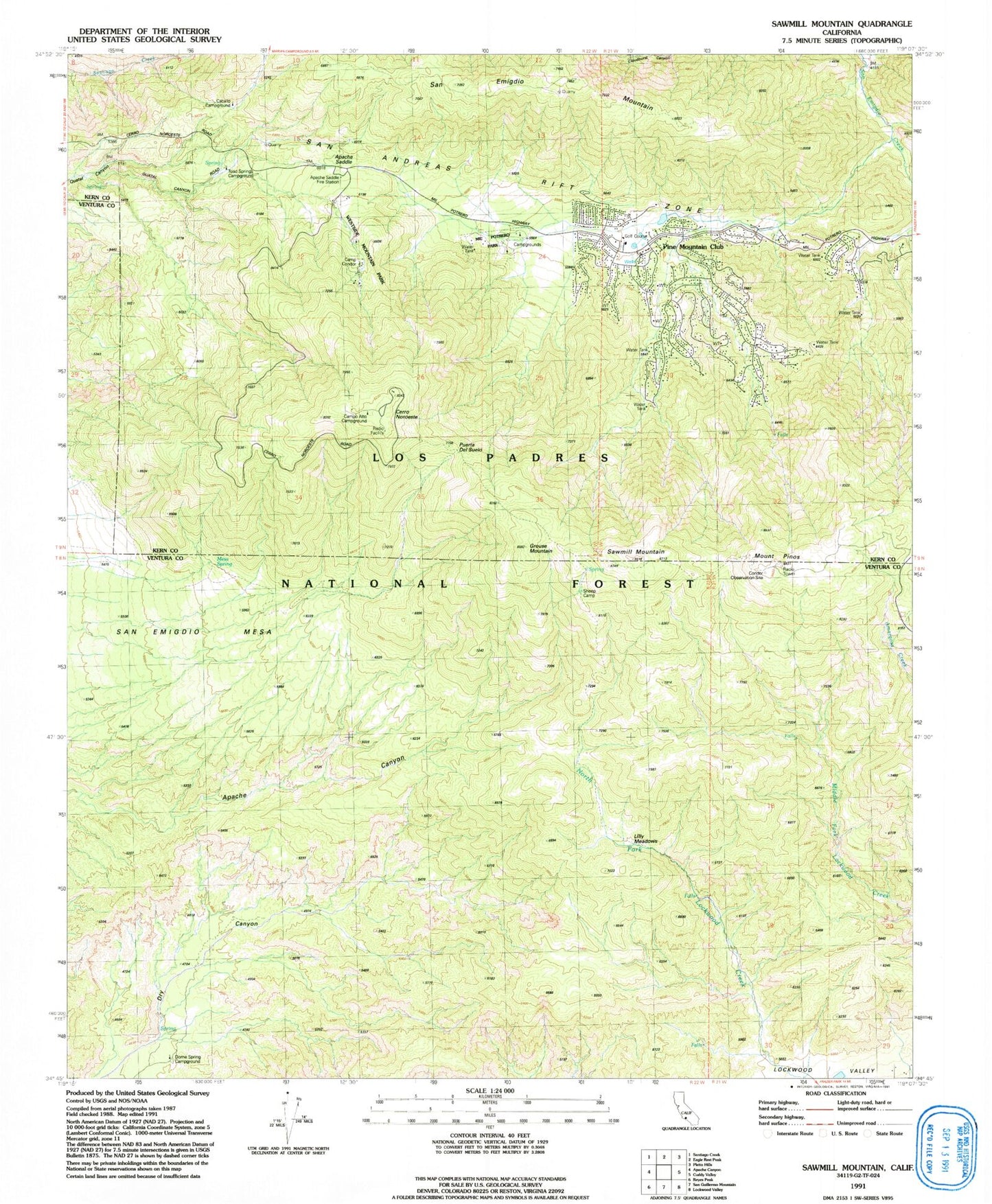
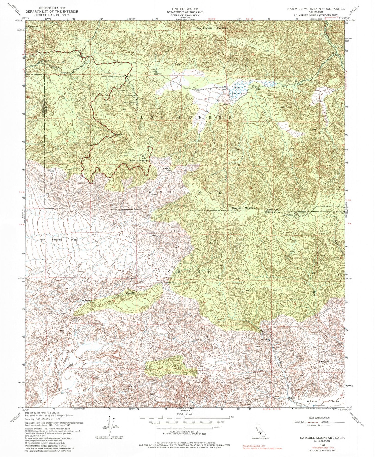
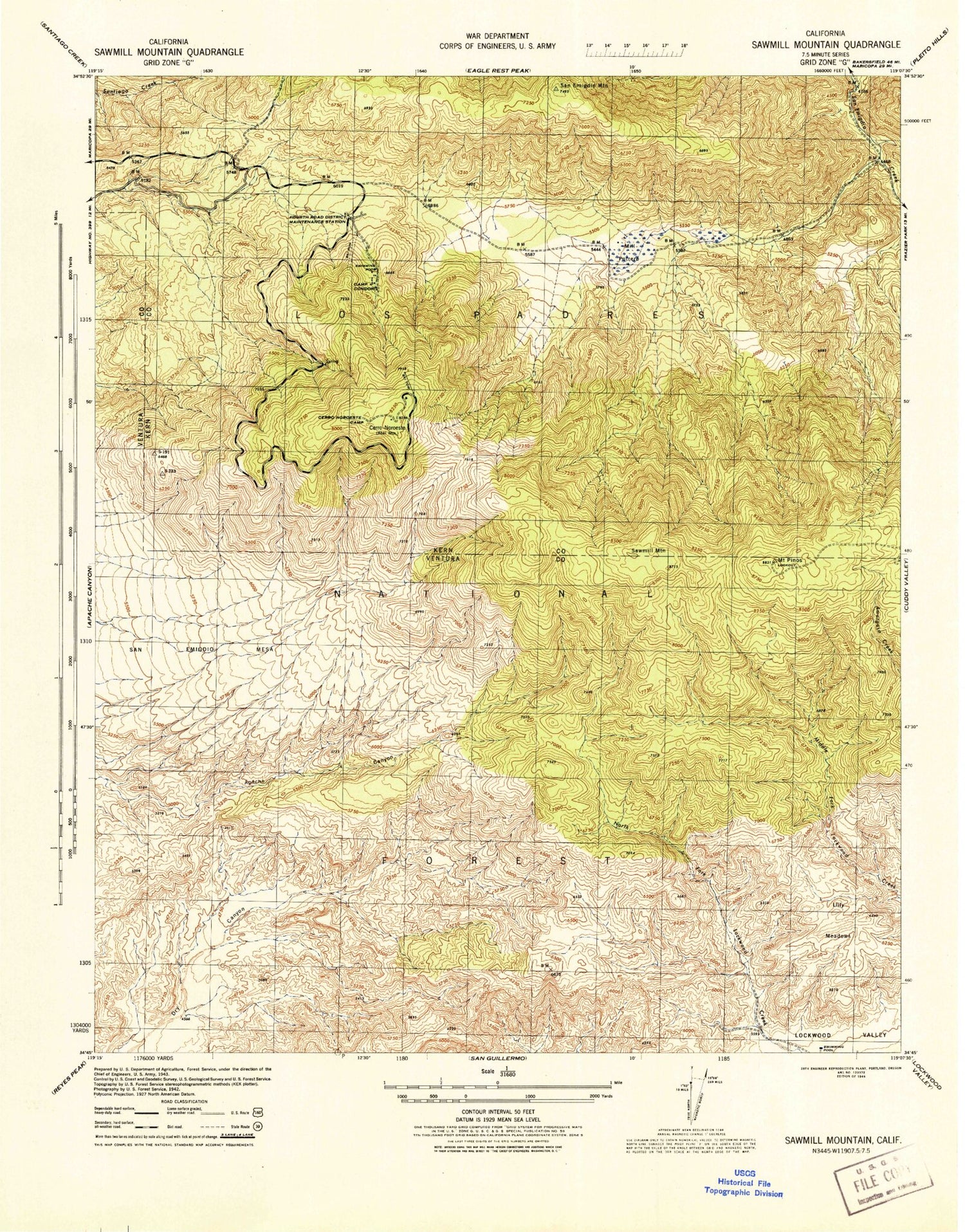
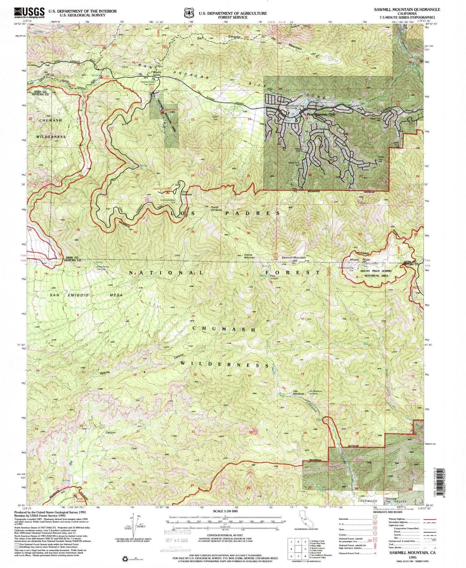
Historical USGS topographic quad map of Sawmill Mountain in the state of California. Scale: 1:24000. Print size: 24" x 27"
This quadrangle is in the following counties: Kern, Ventura.
The map contains contour lines, roads, rivers, towns, lakes, and grids including latitude / longitude and UTM / MGRS. Printed on high-quality waterproof paper with UV fade-resistant inks.
Contains the following named places: Camp Condor, San Emigdio Mesa, San Emigdio Mountains, Puerta del Suelo, Campo Alto Campground, Mill Potrero (historical), San Emigdio Mountain, Sawmill Mountain, Condor Observation Site, Mesa Spring, Sheep Camp, Apache Saddle, Westside Mountain Park, Mil Potrero Park, Pine Mountain Club, Dome Spring Campground, Mil Potrero Organization Campground, Happy Gulch Campground, United States Forest Service Los Padres National Forest Station 73 - Apache Saddle, Toad Springs Campground, Caballo Campground, Camp Alto Campground, Grouse Mountain, Mesa Spring, Mesa Spring Campground, Sheep Campground, Chula Vista Campground, Lily Meadows Campground, Cerro Noroeste, Lilly Meadows, Condor Observation Tower, Pine Mountain Club Golf Course, Mount Pinos, Chumash Wilderness, Pine Mountain Club Census Designated Place, Kern County Fire Department Station 58 - Pine Mountain Club