MyTopo
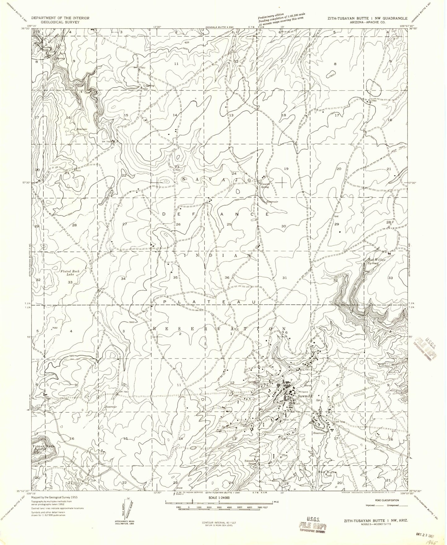
Classic USGS Sawmill Arizona 7.5'x7.5' Topo Map
Couldn't load pickup availability
Historical USGS topographic quad map of Sawmill in the state of Arizona. Map scale may vary for some years, but is generally around 1:24,000. Print size is approximately 24" x 27"
This quadrangle is in the following counties: Apache.
The map contains contour lines, roads, rivers, towns, and lakes. Printed on high-quality waterproof paper with UV fade-resistant inks, and shipped rolled.
Contains the following named places: Fluted Rock, Fluted Rock Lake, Fluted Rock Well, Kailcheebito Spring, KTNN-AM (Window Rock), Quartzite Wash Reservoir, Red Butte, Rodeo Ground Corral, Sawmill, Sawmill Census Designated Place, Sawmill Post Office, Sawmill Primary Learning Center, Sawmill Trading Post, Tohnalchai Spring, Tokezje Spring, ZIP Code: 86504