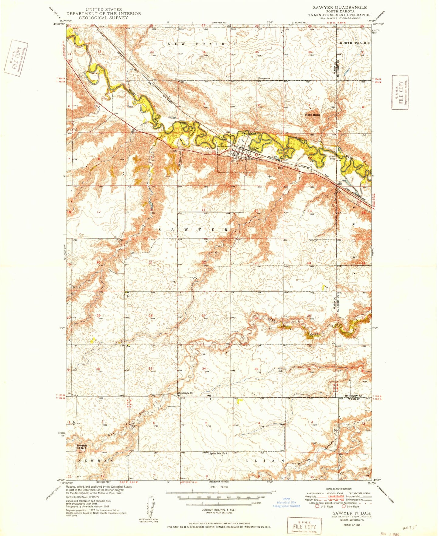
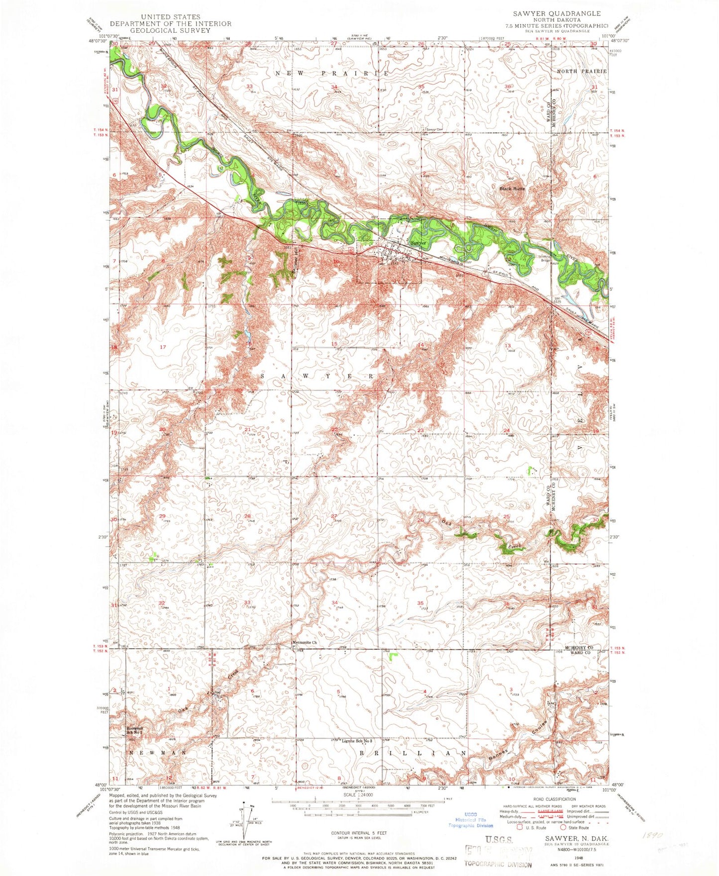
MyTopo
Classic USGS Sawyer North Dakota 7.5'x7.5' Topo Map
Couldn't load pickup availability
Historical USGS topographic quad map of Sawyer in the state of North Dakota. Map scale may vary for some years, but is generally around 1:24,000. Print size is approximately 24" x 27"
This quadrangle is in the following counties: McHenry, Ward.
The map contains contour lines, roads, rivers, towns, and lakes. Printed on high-quality waterproof paper with UV fade-resistant inks, and shipped rolled.
Contains the following named places: Black Butte, Blackwater Coulee, City of Sawyer, Lignite School Number 3, Mennonite Brethren Cemetery, Mennonite Church, Roosevelt School Number 1, Sawyer, Sawyer Cemetery, Sawyer City Hall, Sawyer Fire Protection District Station, Sawyer Post Office, Sawyer Public School, Schilling Bridge, Skinner Cemetery, Skinner Hill, Township of Sawyer, Warren Pietsch Airport