MyTopo
Classic USGS Saxonburg Pennsylvania 7.5'x7.5' Topo Map
Couldn't load pickup availability
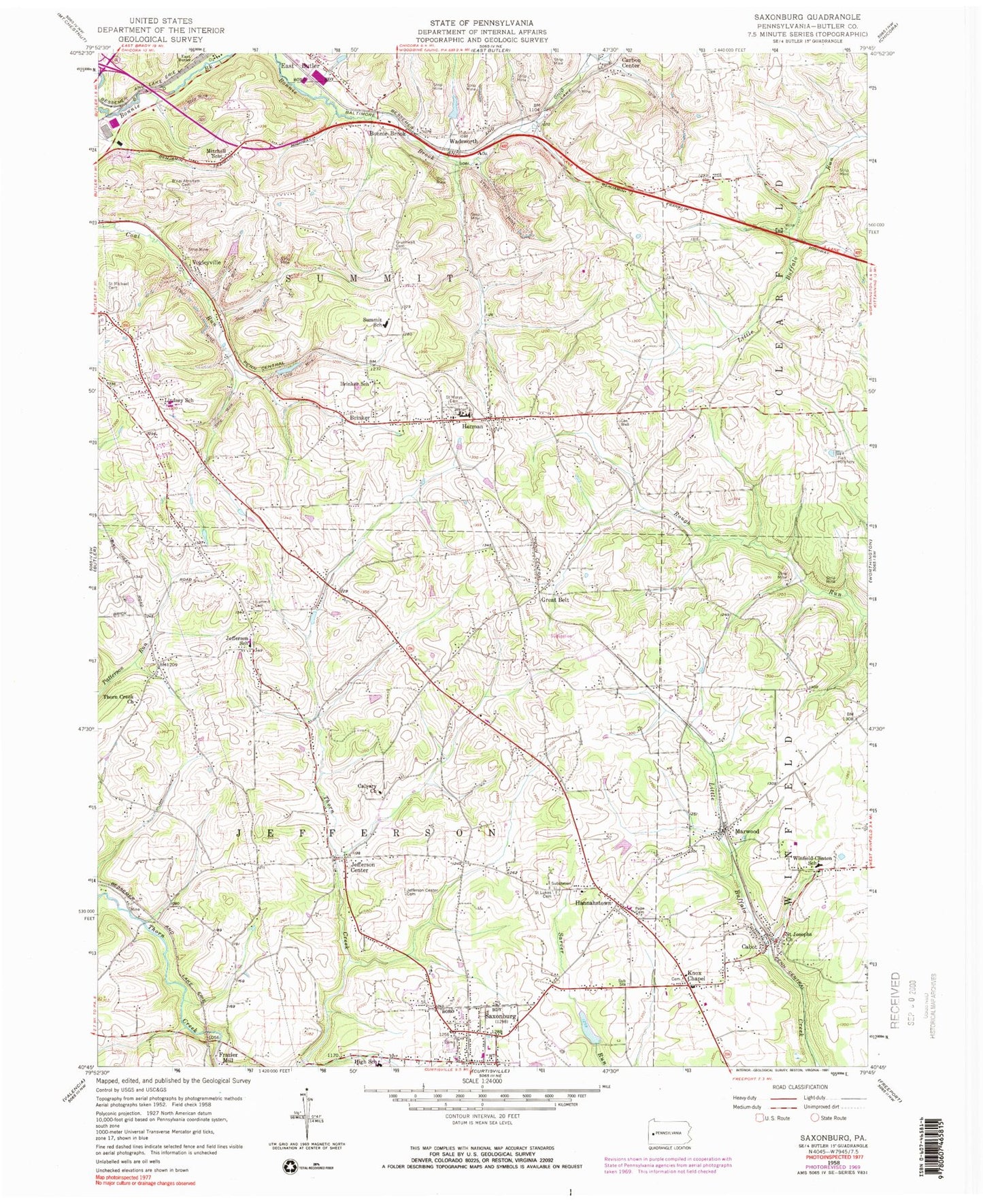
Historical USGS topographic quad map of Saxonburg in the state of Pennsylvania. Map scale may vary for some years, but is generally around 1:24,000. Print size is approximately 24" x 27"
This quadrangle is in the following counties: Butler.
The map contains contour lines, roads, rivers, towns, and lakes. Printed on high-quality waterproof paper with UV fade-resistant inks, and shipped rolled.
Contains the following named places: B'nai Abraham Cemetery, Bonnie Brook, Borough of Saxonburg, Brinker, Brinker School, Cabot, Cabot Post Office, Calvary Church, Carbon Center, Crosswinds Alliance, Frazier Mill, Great Belt, Gruenwalt Cemetery, Hannahstown, Herman, Herman Post Office, Herman Volunteer Fire Company Station 10, Holy Trinity Monastery Cemetery, Jefferson Center, Jefferson Center Cemetery, Jefferson Elementary School, Knox Chapel, Knox Chapel Cemetery, Lake Saxony, Lake Saxony Dam, Lindsey School, Marwood, Mitchell School, Pape Cemetery, Saint Josephs Church, Saint Luke Lutheran Cemetery, Saint Marys Cemetery, Saint Michael Cemetery, Saxonburg, Saxonburg Borough Police Department, Saxonburg Elementary School, Saxonburg Memorial Church Cemetery, Shiloh Church, Summit Cemetery, Summit Church, Summit Elementary School, Thorn Creek Church, Township of Jefferson, Township of Summit, Vaur Run, Vogleyville, Wadsworth, Winfield Elementary School, Winfield Township Volunteer Fire Department Station 46, ZIP Codes: 16002, 16023


