MyTopo
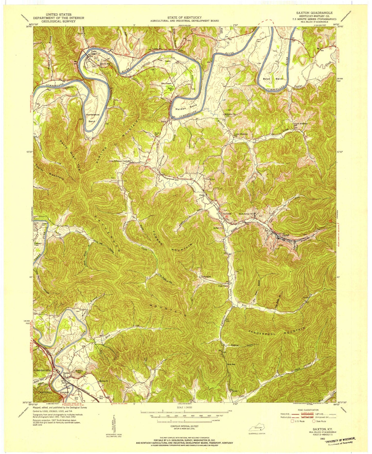
Classic USGS Saxton Kentucky 7.5'x7.5' Topo Map
Couldn't load pickup availability
Historical USGS topographic quad map of Saxton in the state of Kentucky. Map scale may vary for some years, but is generally around 1:24,000. Print size is approximately 24" x 27"
This quadrangle is in the following counties: Whitley.
The map contains contour lines, roads, rivers, towns, and lakes. Printed on high-quality waterproof paper with UV fade-resistant inks, and shipped rolled.
Contains the following named places: Ben Rose Branch, Bennetts Branch, Birdeye Hollow, Bowling Mountain, Boyd Bend, Bradford Branch, Bryant Branch, Buck Creek, Bunch Creek, Bunkers Hill, Cane Creek, Cane Gap, Dal, Dal Railroad Station, Deep Branch, Dixie, Evans Mill, Gatliff, Horseshoe Bend, Joe Branch, Julip, Little Patterson Creek, Long Rocky Branch, Low Ash Railroad Station, Lucky, Lucky Railroad Station, Lucy Lay Hollow, Maiden Bend, Mammoth Railroad Station, Maple Creek, Maxie Railroad Switch, Mount Pisgah Church, Mountain Ash Census Designated Place, Mulberry Church, Mulberry Creek, Nevisdale, Nevisdale Elementary School, Nevisdale Railroad Station, Nine Right Hollow, Packard, Packard Railroad Station, Patterson Creek, Patterson Creek Volunteer Fire Department, Patterson Mountain, Perry High Top, Polly Camp, Poplar Creek, Powers Hollow, Powers Jones Cemetery, Powers Mountain, Queener Hollow, Rains Cemetery, Reese Creek, Rose Creek, Sarah Sparks Branch, Sawmill Hollow, Saxton, Saxton Division, Saxton Railroad Station, Siler Division, Stanfill - Oaklawn Cemetery, Sukey Siler Hollow, Suttons Mill, Tackett Creek, Talley Hollow, Taylor Mountain, Tyes Fork, Vanderpool Mountain, Verne, Verne Railroad Station, Yaden, Yaden Railroad Station


