MyTopo
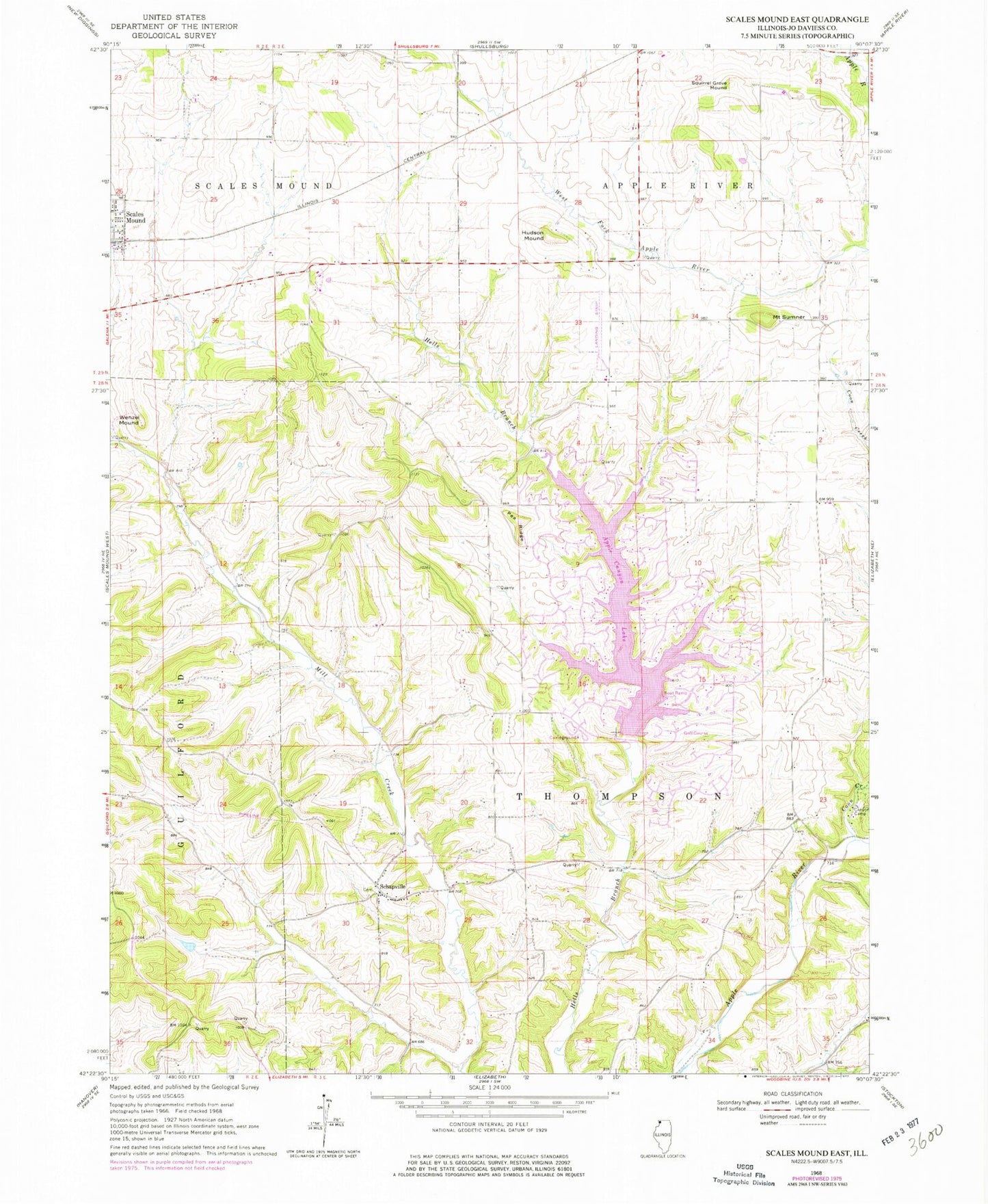
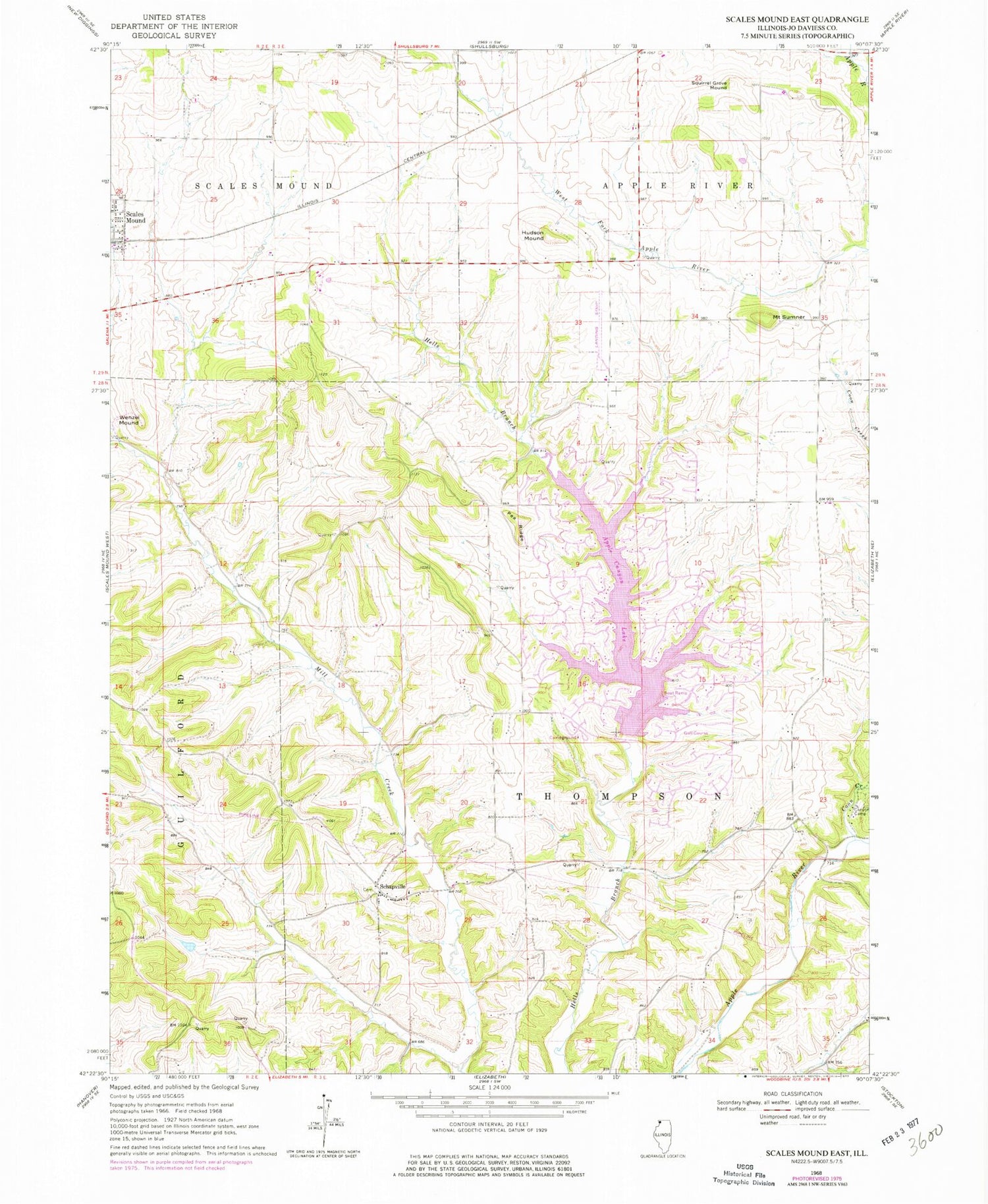
Classic USGS Scales Mound East Illinois 7.5'x7.5' Topo Map
Couldn't load pickup availability
Historical USGS topographic quad map of Scales Mound East in the state of Illinois. Typical map scale is 1:24,000, but may vary for certain years, if available. Print size: 24" x 27"
This quadrangle is in the following counties: Jo Daviess.
The map contains contour lines, roads, rivers, towns, and lakes. Printed on high-quality waterproof paper with UV fade-resistant inks, and shipped rolled.
Contains the following named places: Apple Canyon Lake, Canyon Camp, Coon Creek, Hudson Mound, Pea Ridge, Schapville, Squirrel Grove Mound, Mound Sumner, Wenzel Mound, Apple Canyon Lake Airport (historical), Township of Apple River, Township of Scales Mound, Township of Thompson, Apple Canyon Lake Dam, Sampson School (historical), Mount Morley School (historical), Thompson Center School (historical), Erie School (historical), Keenan School (historical), Mount Pleasant School (historical), Carr School (historical), Laws Siding, Hudson Mound School (historical), Mount Hope School (historical), McFadden School (historical), Mount Sumner School (historical), Pleasant Ridge School (historical), Salem Church (historical), Apple Canyon Lake Golf Course, Schultz Quarry, Apple Canyon Lake Census Designated Place, Apple Canyon Lake, Scales Mound Fire Department Apple Canyon Lake Station, Foster Field


