MyTopo
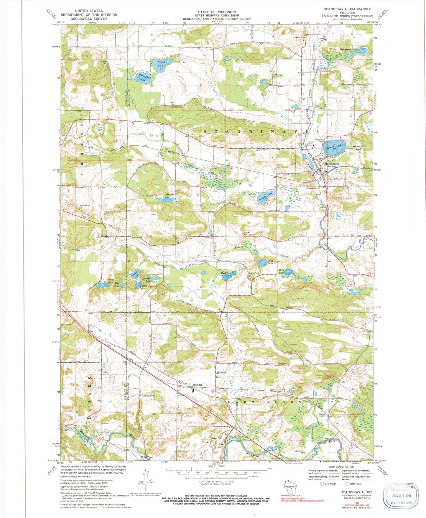
Classic USGS Scandinavia Wisconsin 7.5'x7.5' Topo Map
Couldn't load pickup availability
Historical USGS topographic quad map of Scandinavia in the state of Wisconsin. Typical map scale is 1:24,000, but may vary for certain years, if available. Print size: 24" x 27"
This quadrangle is in the following counties: Portage, Waupaca.
The map contains contour lines, roads, rivers, towns, and lakes. Printed on high-quality waterproof paper with UV fade-resistant inks, and shipped rolled.
Contains the following named places: Brekke Lake, Cobb Town, Ellison Park, Farmington Church, Foster Lake, Grenlie Lake, Gurholt Lake, Johnson Lake, Marl Lake, Meed Lake, Mud Lake, Myklebust Lake, Peterson Creek, Rollofson Lake, Sand Lake, Sannes Creek, Scandinavia, Scandinavia Cemetery, Sheridan, Silver Lake, Skunk Lake, Thorn Lake, Timberline Airport, Village of Scandinavia, Town of Scandinavia, Scandinavia Dam, Scandinavia Millpond 68, Farmington Lutheran Cemetery, Hellestad School (historical), Oakland School (historical), Peterson Mill School (historical), Riverview School (historical), Salem Cemetery, Torgerson School (historical), Pipe School (historical), Myklebust Lake State Natural Area, Skunk and Foster Lakes State Natural Area, Scandinavia Volunteer Fire Department, Scandinavia Police Department, Scandinavia Post Office


