MyTopo
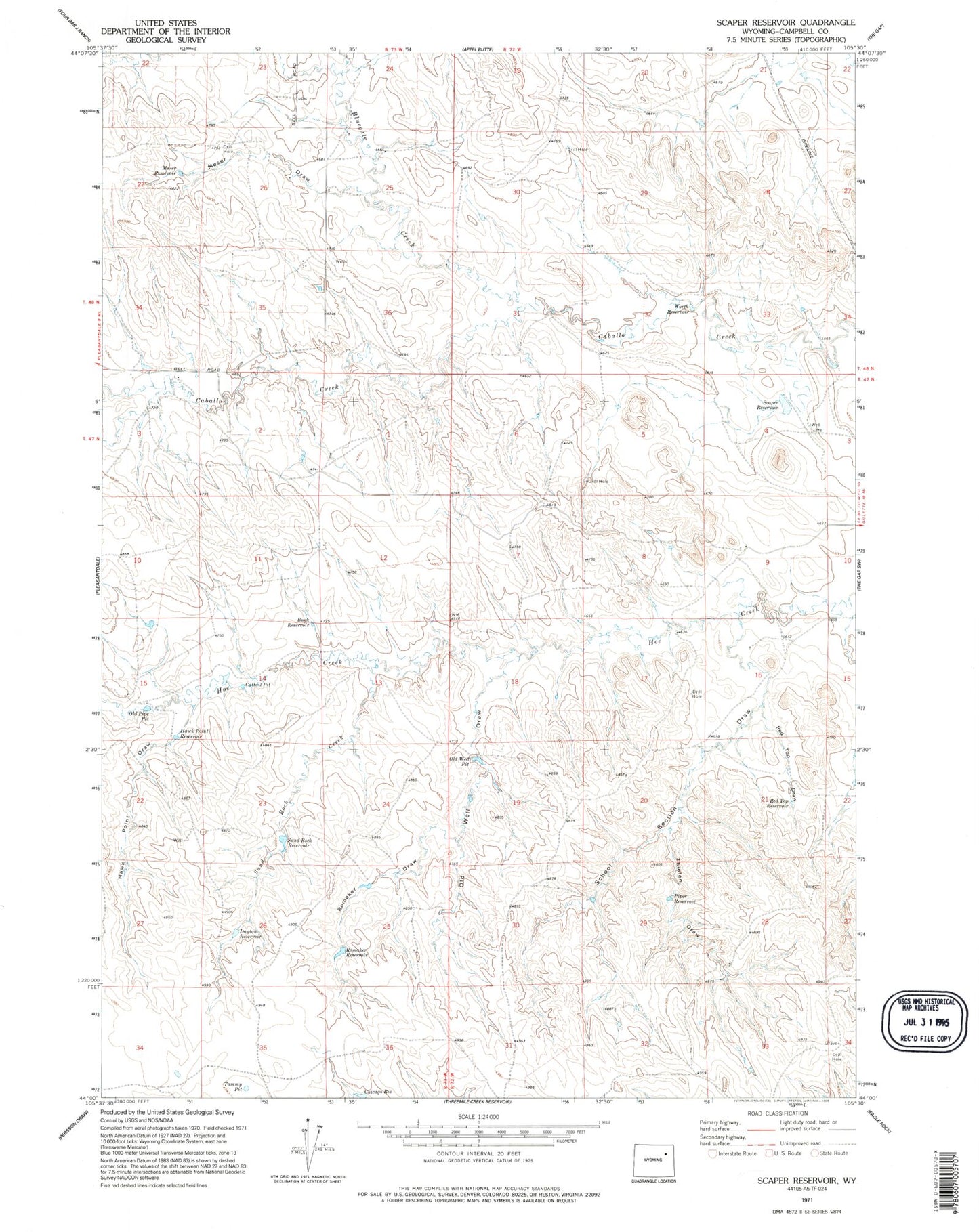
Classic USGS Scaper Reservoir Wyoming 7.5'x7.5' Topo Map
Couldn't load pickup availability
Historical USGS topographic quad map of Scaper Reservoir in the state of Wyoming. Map scale may vary for some years, but is generally around 1:24,000. Print size is approximately 24" x 27"
This quadrangle is in the following counties: Campbell.
The map contains contour lines, roads, rivers, towns, and lakes. Printed on high-quality waterproof paper with UV fade-resistant inks, and shipped rolled.
Contains the following named places: Bluegate Creek, Buck Reservoir, Cattail Pit, Chicago Reservoir, Dayton Reservoir, Flat Dam, Hawk Point Draw, Hawk Point Reservoir, Hoe Creek Dam, Moser Draw, Moser Reservoir, Old Well Draw, Old Well Pit, Piper Reservoir, Red Top Draw, Red Top Reservoir, Romaker Draw, Romaker Reservoir, Sand Rock Creek, Sand Rock Reservoir, Scaper Reservoir, School Section Draw, Tammy Pit, Thielen Draw, Worth Dam, Worth Reservoir