MyTopo
Classic USGS Schaghticoke New York 7.5'x7.5' Topo Map
Couldn't load pickup availability
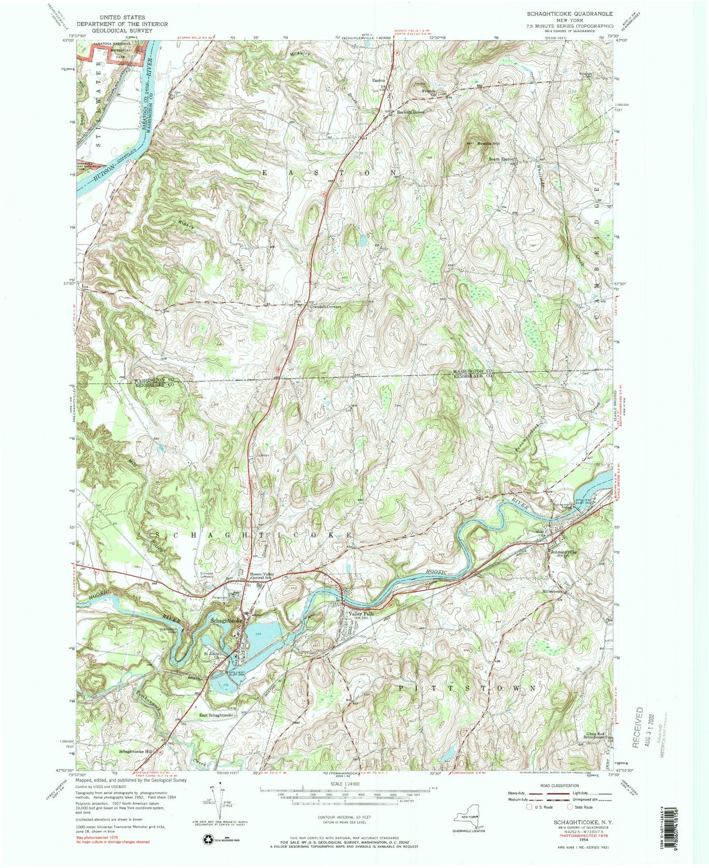
Historical USGS topographic quad map of Schaghticoke in the state of New York. Typical map scale is 1:24,000, but may vary for certain years, if available. Print size: 24" x 27"
This quadrangle is in the following counties: Rensselaer, Saratoga, Washington.
The map contains contour lines, roads, rivers, towns, and lakes. Printed on high-quality waterproof paper with UV fade-resistant inks, and shipped rolled.
Contains the following named places: Barkers Grove, Beadle Hill, Brownell Cemetery, Crandall Corners, East Schaghticoke, Easton, Elmwood Cemetery, Friends Church, Hoosic Valley Central School, Johnsonville, Kidney Creek, Little Red Schoolhouse (historical), Mill Creek, Millertown, Saint Johns Cemetery, Saint John The Baptist Roman Catholic Church, Schaghticoke, Schaghticoke Hill, South Easton, Valley Falls, Wampecack Creek, Kroma Kill, Whiteside Creek, Sherwood Farm Airport, Town of Schaghticoke, Village of Schaghticoke, Village of Valley Falls, School Number 14 (historical), School Number 5 (historical), School Number 3 (historical), School Number 12 (historical), School Number 1 (historical), School Number 6 (historical), School Number 6 (historical), School Number 4 (historical), Presbyterian United Church, Christ Church, Borden's Orchard, Elihu Farm, Hoosic River Bridge, Schaghticoke Bridge, Hoosic Valley Community Church, Arvilla E Diver Memorial Library, Valley Falls Free Library, Valley Falls Village Wastewater Treatment Facility, Schaghticoke Post Office, Valley Falls Post Office, Hoosic Valley Elementary School, Valley Falls Volunteer Fire Department, Easton Volunteer Fire Company, Johnsonville Fire Department, Johnsonville Volunteer Ambulance Service, Johnsonville Post Office


