MyTopo
Classic USGS Schaller South Iowa 7.5'x7.5' Topo Map
Couldn't load pickup availability
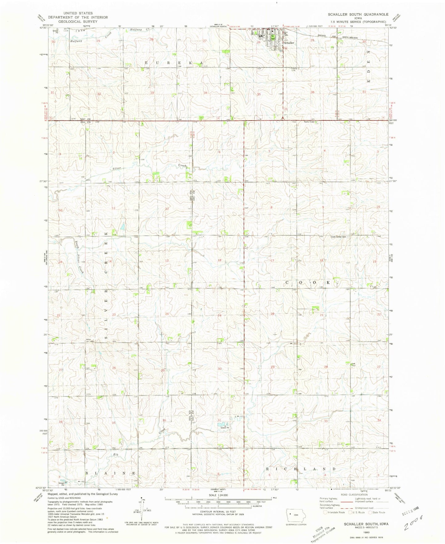
Historical USGS topographic quad map of Schaller South in the state of Iowa. Map scale may vary for some years, but is generally around 1:24,000. Print size is approximately 24" x 27"
This quadrangle is in the following counties: Ida, Sac.
The map contains contour lines, roads, rivers, towns, and lakes. Printed on high-quality waterproof paper with UV fade-resistant inks, and shipped rolled.
Contains the following named places: Brook Mount, Carim Farms, City of Schaller, Cook Center Cemetery, Elk Run Post Office, Methodist Church, Presbyterian Church, Saint Josephs Catholic Church, Saint Paul Lutheran Church, Schaller, Schaller - Crestland Elementary School, Schaller Post Office, Schaller Recreation Center, Township of Cook, ZIP Code: 51053