MyTopo
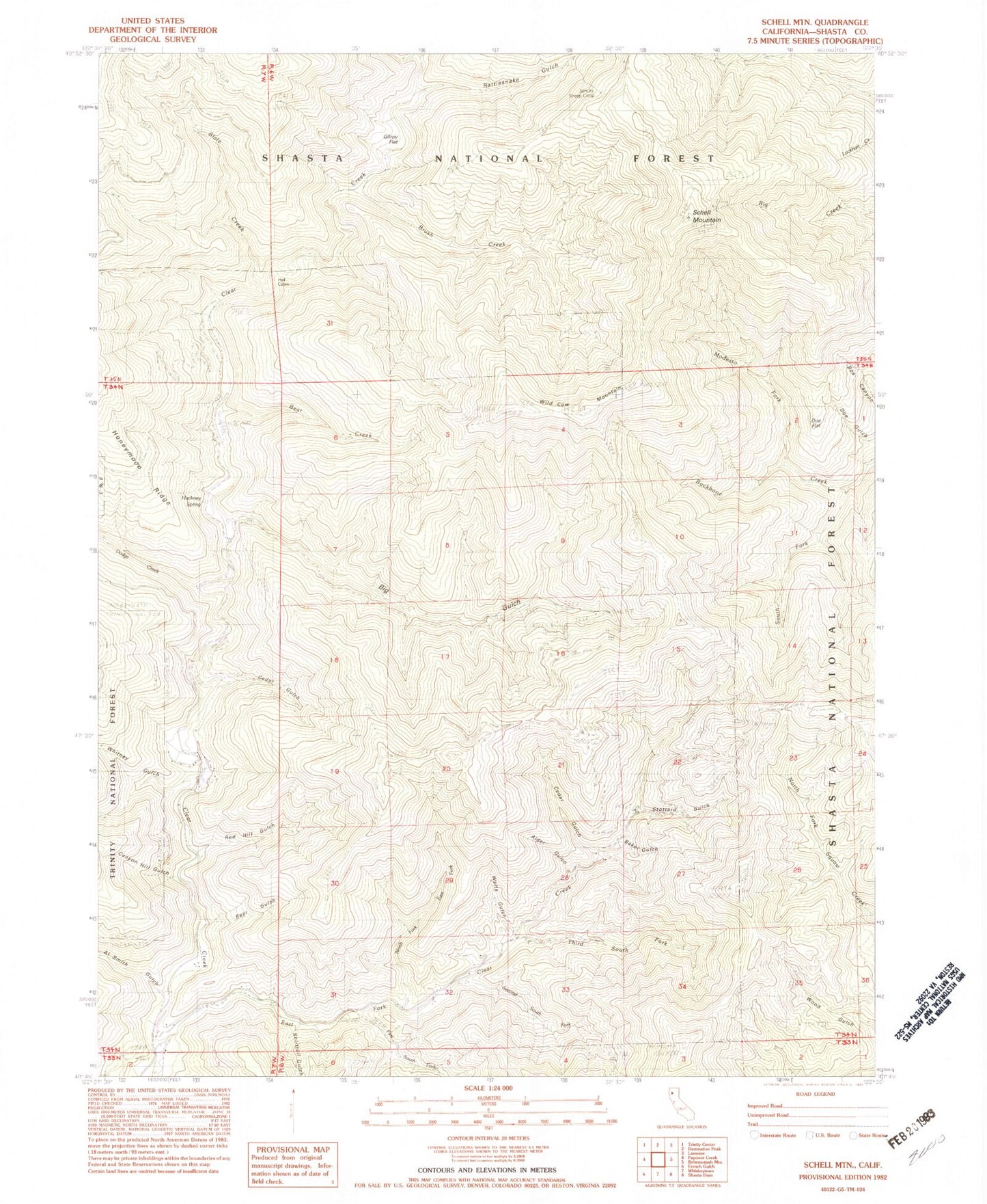
Classic USGS Schell Mountain California 7.5'x7.5' Topo Map
Couldn't load pickup availability
Historical USGS topographic quad map of Schell Mountain in the state of California. Map scale may vary for some years, but is generally around 1:24,000. Print size is approximately 24" x 27"
This quadrangle is in the following counties: Shasta.
The map contains contour lines, roads, rivers, towns, and lakes. Printed on high-quality waterproof paper with UV fade-resistant inks, and shipped rolled.
Contains the following named places: Al Smith Gulch, Alder Gulch, Baker Gulch, Baker Mine, Bear Creek, Bear Gulch, Big Gulch, Brush Creek, Brush Gulch, Canyon Hill Gulch, Cedar Gulch, Cosy Dell, Dodge Creek, Doe Flat, East Fork Clear Creek, First South Fork East Fork Clear Creek, Gilroy Flat, Hackney Spring, Hall Cabin, Modesto Fork, North Fork East Fork Clear Creek, Rattlesnake Gulch, Red Hill Gulch, Schell Mountain, Schultz Sheep Camp, Second South Fork East Fork Clear Creek, Shirttail Gulch, Slate Creek, South Fork Backbone Creek, Stottard Gulch, Third South Fork East Fork Clear Creek, Walts Gulch, Whitney Creek, Whitney Gulch, Wild Cow Mountain, ZIP Code: 96033


