MyTopo
Classic USGS Schneringer Valley Nebraska 7.5'x7.5' Topo Map
Regular price
$16.95
Regular price
Sale price
$16.95
Unit price
per
Couldn't load pickup availability
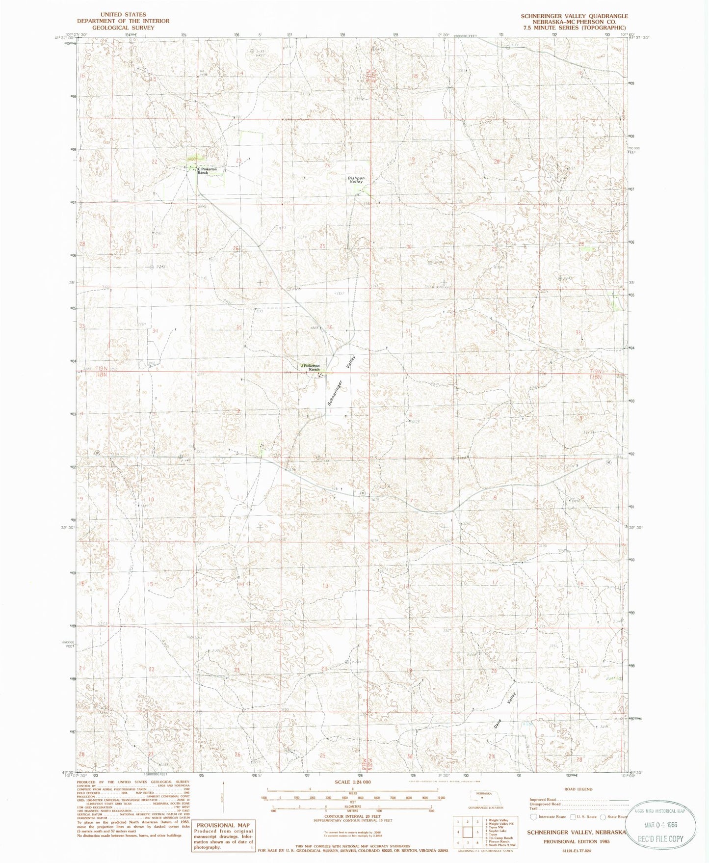
Historical USGS topographic quad map of Schneringer Valley in the state of Nebraska. Map scale may vary for some years, but is generally around 1:24,000. Print size is approximately 24" x 27"
This quadrangle is in the following counties: McPherson.
The map contains contour lines, roads, rivers, towns, and lakes. Printed on high-quality waterproof paper with UV fade-resistant inks, and shipped rolled.
Contains the following named places: C Pinkerton Ranch, Conroy Ranch, Cotton Ranch, Dahlin Ranch, Dane Valley, Dishpan Valley, Holloway Ranch, J Pinkerton Ranch, McPherson County, Qualley Ranch, Schneringer Valley, School Number 13, School Number 28, Warren Ranch, Whittaker Ranch, ZIP Code: 69167