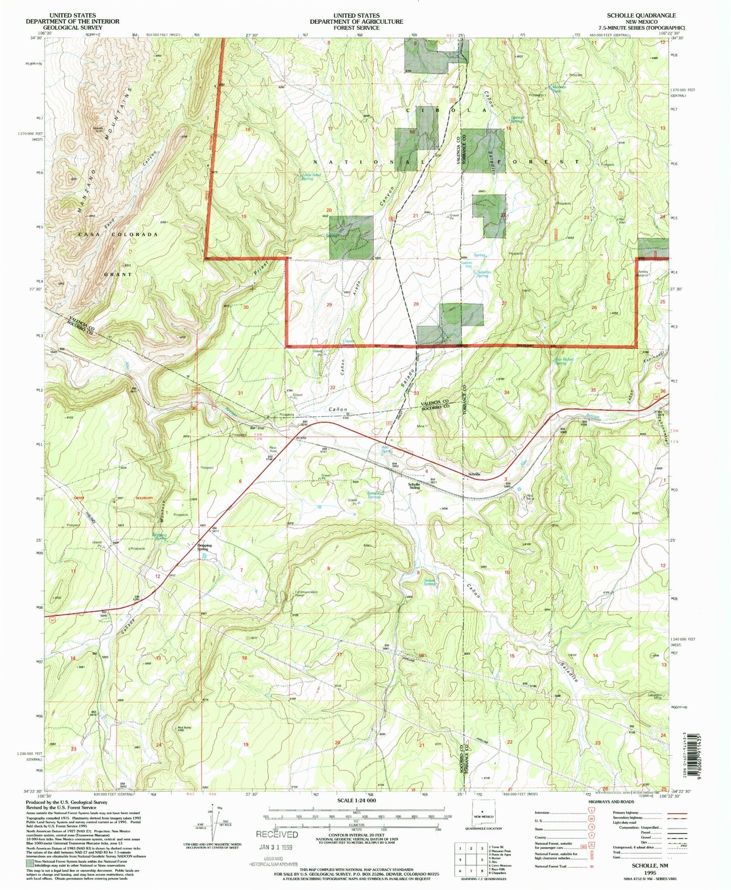
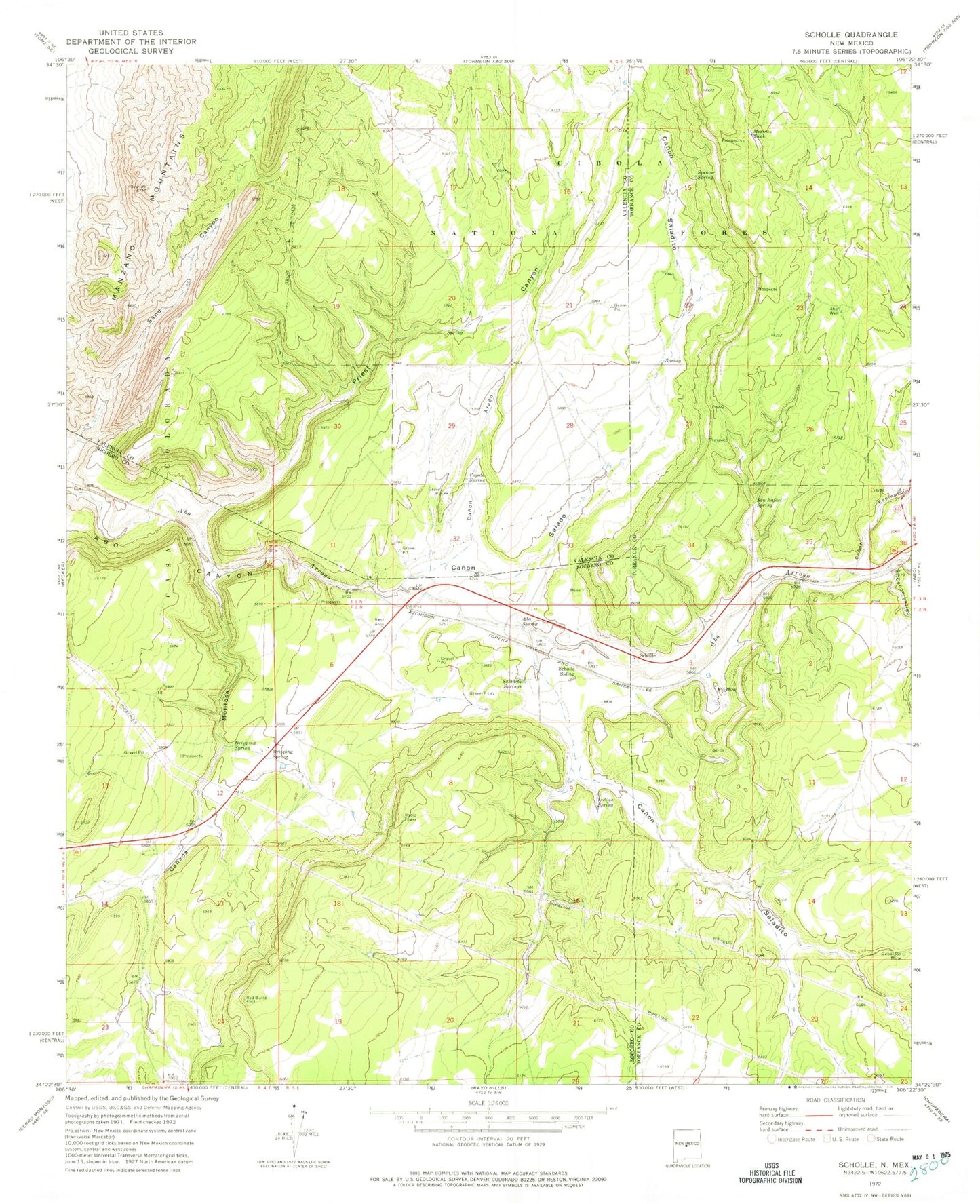
MyTopo
Classic USGS Scholle New Mexico 7.5'x7.5' Topo Map
Couldn't load pickup availability
Historical USGS topographic quad map of Scholle in the state of New Mexico. Map scale may vary for some years, but is generally around 1:24,000. Print size is approximately 24" x 27"
This quadrangle is in the following counties: Socorro, Torrance, Valencia.
The map contains contour lines, roads, rivers, towns, and lakes. Printed on high-quality waterproof paper with UV fade-resistant inks, and shipped rolled.
Contains the following named places: Abo Mine, Abo Spring, Abo Well, Ansley Windmill, Bustamonte Spring, Canada Montosa, Canon Arado, Canon Espinoso, Canon Latigo, Canon Saladito, Canon Salado, Coyote Spring, Dripping Spring, Gabaldon Mine, Indian Spring, Jack Rabbit Claim, Little Sand Spring, Mexican Tank, Priest Canyon, Rainwater, Saladito Spring, Saladito Springs, Saladito Well, San Rafael Spring, Sand Canyon, Scholle, Scholle Claim Group, Scholle Plant Mine, Scholle Post Office, Scholle Siding, Spencer Spring, Vega Spring