MyTopo
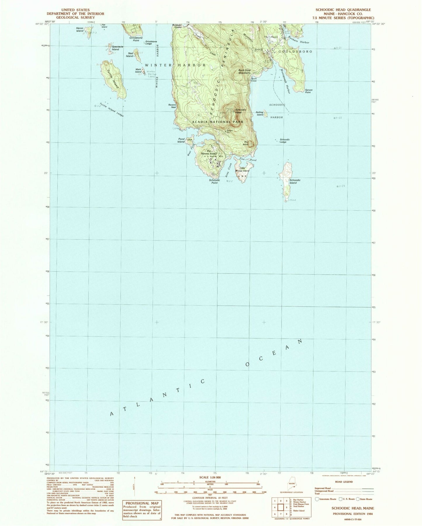
Classic USGS Schoodic Head Maine 7.5'x7.5' Topo Map
Couldn't load pickup availability
Historical USGS topographic quad map of Schoodic Head in the state of Maine. Map scale may vary for some years, but is generally around 1:24,000. Print size is approximately 24" x 27"
This quadrangle is in the following counties: Hancock.
The map contains contour lines, roads, rivers, towns, and lakes. Printed on high-quality waterproof paper with UV fade-resistant inks, and shipped rolled.
Contains the following named places: Alder Path Trail, Arey Cove, Big Moose Island, Buck Cove, Buck Cove Mountain, Bunkers Harbor, East Pond, Frazer Creek, Grindstone Ledge, Grindstone Point, Heron Island, Little Moose Island, Mark Island, Middle Ledge, Mountain Brook, Ned Island, Old Woman, Pond Island, Pulpit Ledge, Ravens Nest, Roaring Bull, Rolling Island, Schoodic Harbor, Schoodic Head, Schoodic Head Trail, Schoodic Island, Schoodic Ledge, Schoodic Peninsula, Schoodic Point, Spectacle Island, Spruce Point, The Anvil, The Anvil Trail, The Heath, Town of Winter Harbor, Turtle Island, Turtle Island Ledge, West Pond, White Ledge, Winter Harbor, Winter Harbor Light, Wonsqueak Harbor