MyTopo
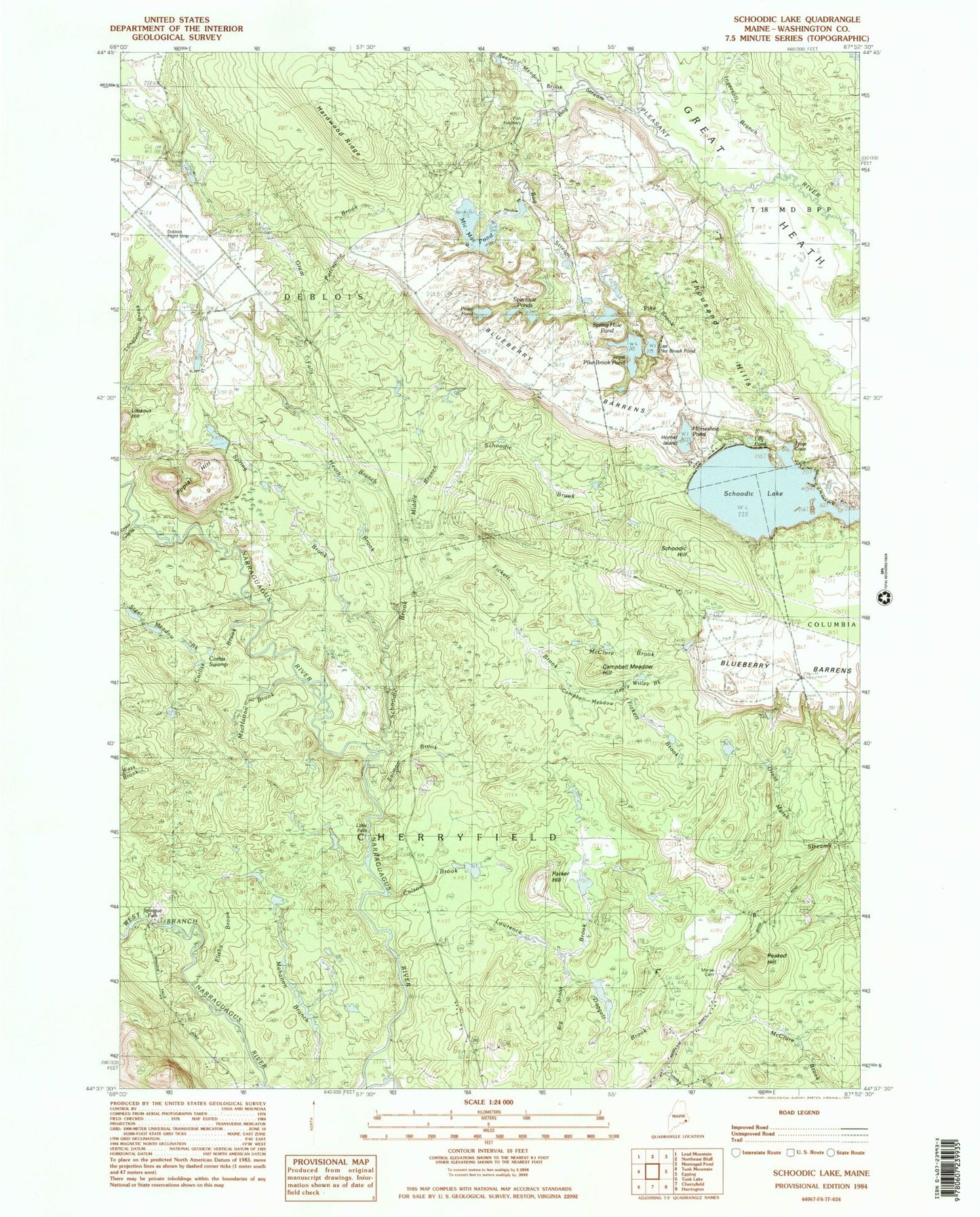
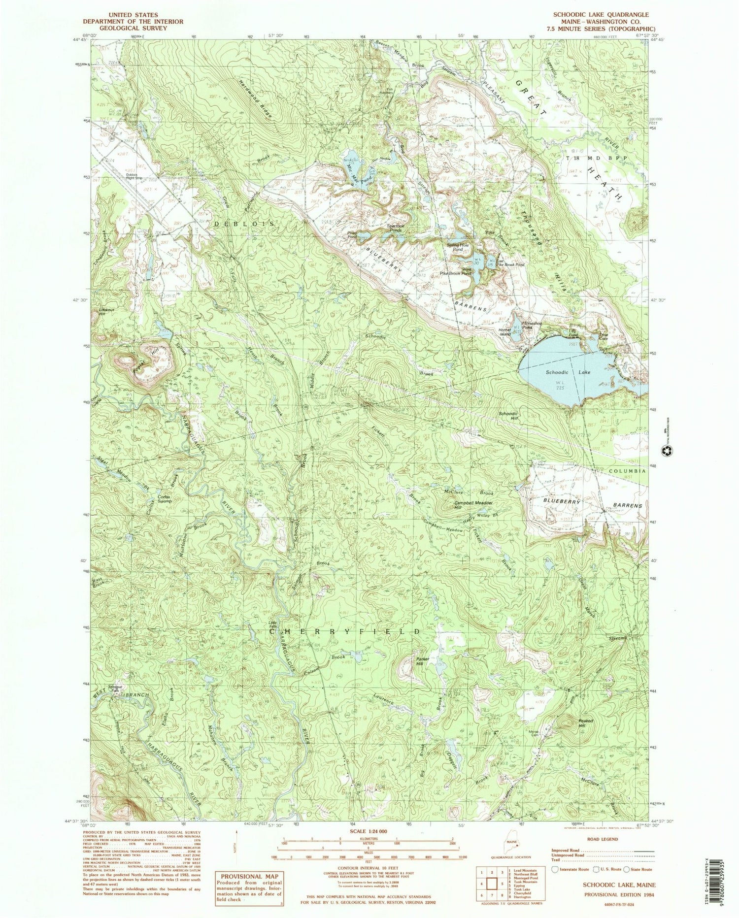
Classic USGS Schoodic Lake Maine 7.5'x7.5' Topo Map
Couldn't load pickup availability
Historical USGS topographic quad map of Schoodic Lake in the state of Maine. Map scale may vary for some years, but is generally around 1:24,000. Print size is approximately 24" x 27"
This quadrangle is in the following counties: Washington.
The map contains contour lines, roads, rivers, towns, and lakes. Printed on high-quality waterproof paper with UV fade-resistant inks, and shipped rolled.
Contains the following named places: Beaver Meadow Brook, Big Brook, Blueberry Barrens, Bog Stream, Campbell Meadow, Campbell Meadow Hill, Colson Brook, Corliss Brook, Corliss Swamp, Crotch Camp Brook, Daggett Brook, Deblois Flight Strip, Dorr Meadow Brook, East Pike Brook Pond, Elisha Brook, Fickett Brook, Great Falls Branch, Hardwood Ridge, Heath Brook, Hornet Island, Horseshoe Pond, Ingersoll Branch, Lawrence Brook, Lilly Pond, Little Falls, Lookout Hill, MacHatton Brook, Mic-Mac Pond, Middle Brook, Morse Cemetery, Parker Hill, Peaked Hill, Pineo Pond, Poplar Hill, Salmon Brook, Schoodic Brook, Schoodic Hill, Schoodic Lake, Spectacle Ponds, Sprague Falls, Spring Brook, Spring Hole Pond, Steel Meadow Brook, Thousand Hills, Town of Cherryfield, Town of Deblois, Trout Cove, West Pike Brook Pond


