MyTopo
Classic USGS School Section Butte South Dakota 7.5'x7.5' Topo Map
Regular price
$16.95
Regular price
Sale price
$16.95
Unit price
per
Couldn't load pickup availability
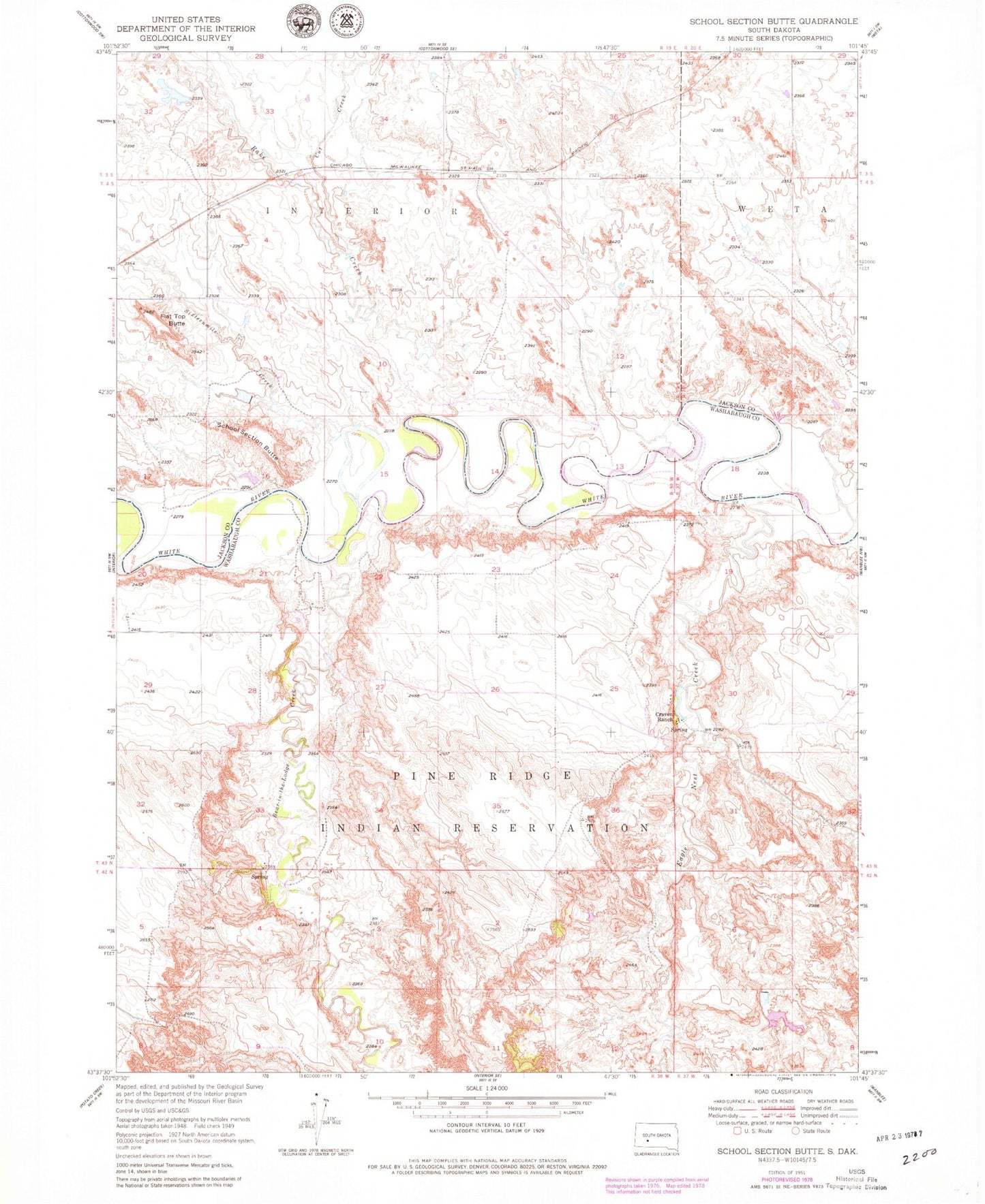
Historical USGS topographic quad map of School Section Butte in the state of South Dakota. Map scale may vary for some years, but is generally around 1:24,000. Print size is approximately 24" x 27"
This quadrangle is in the following counties: Jackson.
The map contains contour lines, roads, rivers, towns, and lakes. Printed on high-quality waterproof paper with UV fade-resistant inks, and shipped rolled.
Contains the following named places: Bear-in-the-Lodge Creek, Craven Ranch, Cut Creek, Eagle Nest Creek, Flat Top Butte, Landing Field, Rake Creek, School Section Butte, Sixteenmile Creek, West Weta 91 Dam, West Weta 91 Reservoir