MyTopo
Classic USGS School Section Creek Montana 7.5'x7.5' Topo Map
Regular price
$16.95
Regular price
Sale price
$16.95
Unit price
per
Couldn't load pickup availability
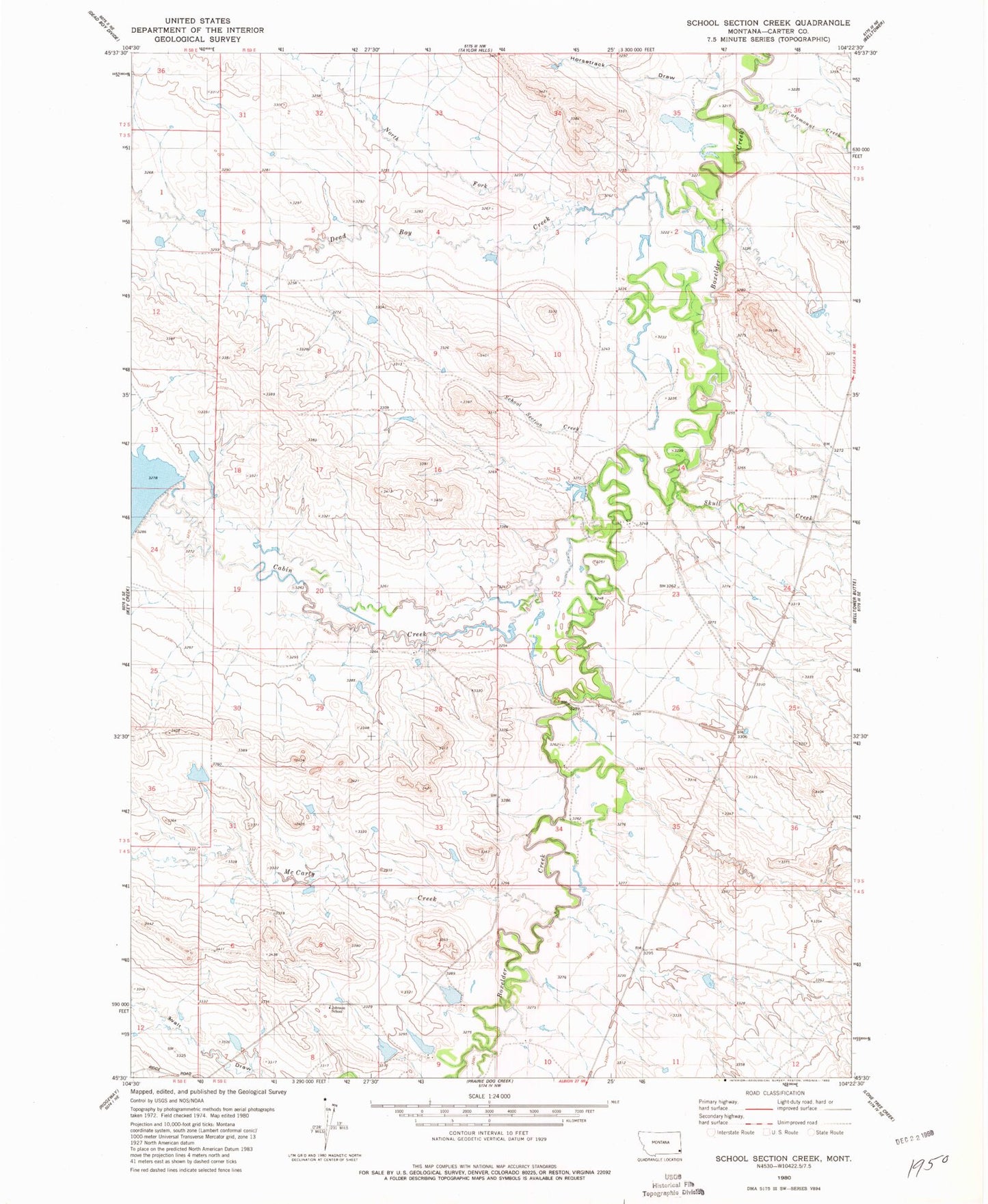
Historical USGS topographic quad map of School Section Creek in the state of Montana. Map scale may vary for some years, but is generally around 1:24,000. Print size is approximately 24" x 27"
This quadrangle is in the following counties: Carter.
The map contains contour lines, roads, rivers, towns, and lakes. Printed on high-quality waterproof paper with UV fade-resistant inks, and shipped rolled.
Contains the following named places: 04S51E03DDAC01 Well, 04S59E09AACD01 Well, Cabin Creek, Catamount Creek, Dead Boy Creek, Gussie Number 2 Dam, Gussie Number 3 Dam, Johnston School, McCarty Creek, North Fork Dead Boy Creek, Ridgeway Hall, School Section Creek, Skull Creek