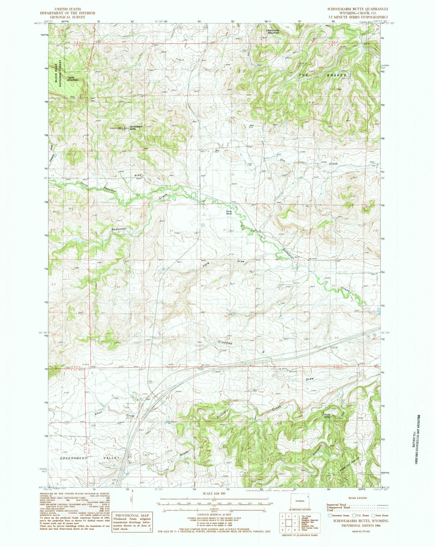
MyTopo
Classic USGS Schoolmarm Butte Wyoming 7.5'x7.5' Topo Map
Regular price
$16.95
Regular price
Sale price
$16.95
Unit price
per
Couldn't load pickup availability
Historical USGS topographic quad map of Schoolmarm Butte in the state of Wyoming. Map scale may vary for some years, but is generally around 1:24,000. Print size is approximately 24" x 27"
This quadrangle is in the following counties: Crook.
The map contains contour lines, roads, rivers, towns, and lakes. Printed on high-quality waterproof paper with UV fade-resistant inks, and shipped rolled.
Contains the following named places: Alkali Creek, Crooked S Draw, Government Valley, North Redwater Creek, Ripley Ranch, Sandstone Mountain, Schoolmarm Butte, Simmons Stockpile Mine, Stotts Spring, Sundance Creek, Vore Draw, Weaver School, Williams Dam, Williams Reservoir