MyTopo
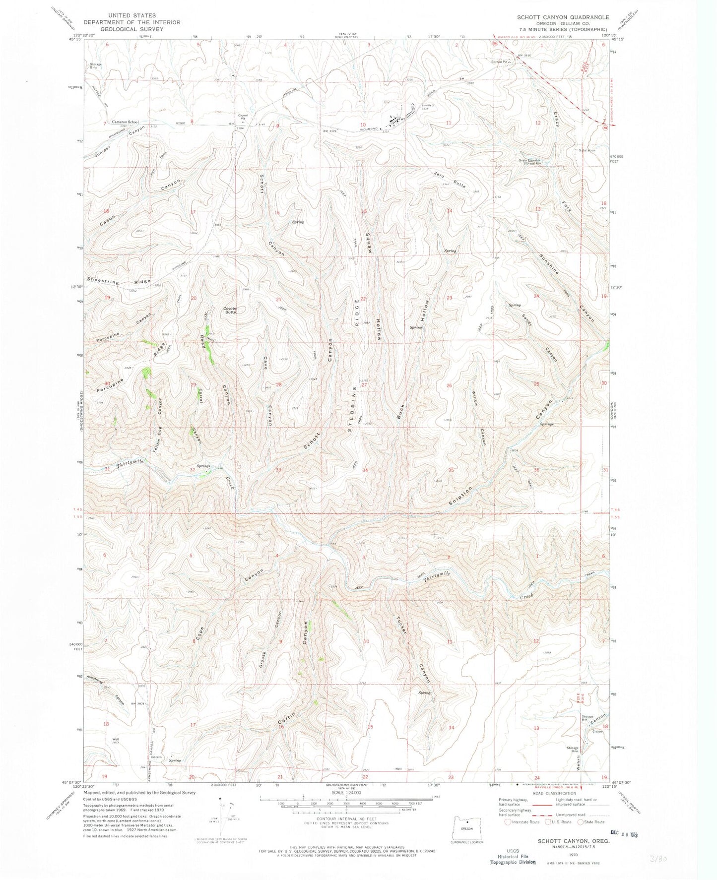
Classic USGS Schott Canyon Oregon 7.5'x7.5' Topo Map
Couldn't load pickup availability
Historical USGS topographic quad map of Schott Canyon in the state of Oregon. Map scale may vary for some years, but is generally around 1:24,000. Print size is approximately 24" x 27"
This quadrangle is in the following counties: Gilliam.
The map contains contour lines, roads, rivers, towns, and lakes. Printed on high-quality waterproof paper with UV fade-resistant inks, and shipped rolled.
Contains the following named places: Buck Hollow, Cameron School, Cave Canyon, Coffin Canyon, Condon Air Force Station, Cope Canyon, Corral Canyon, Coyote Butte, Grouse Canyon, Porcupine Ridge, Road Canyon, Sandy Canyon, Schott Canyon, Sniption Canyon, Squaw Hollow, Stebins Ridge, Sunshine Canyon, Tucker Canyon, Willow Canyon, Yellow Dog Canyon, Zero Butte