MyTopo
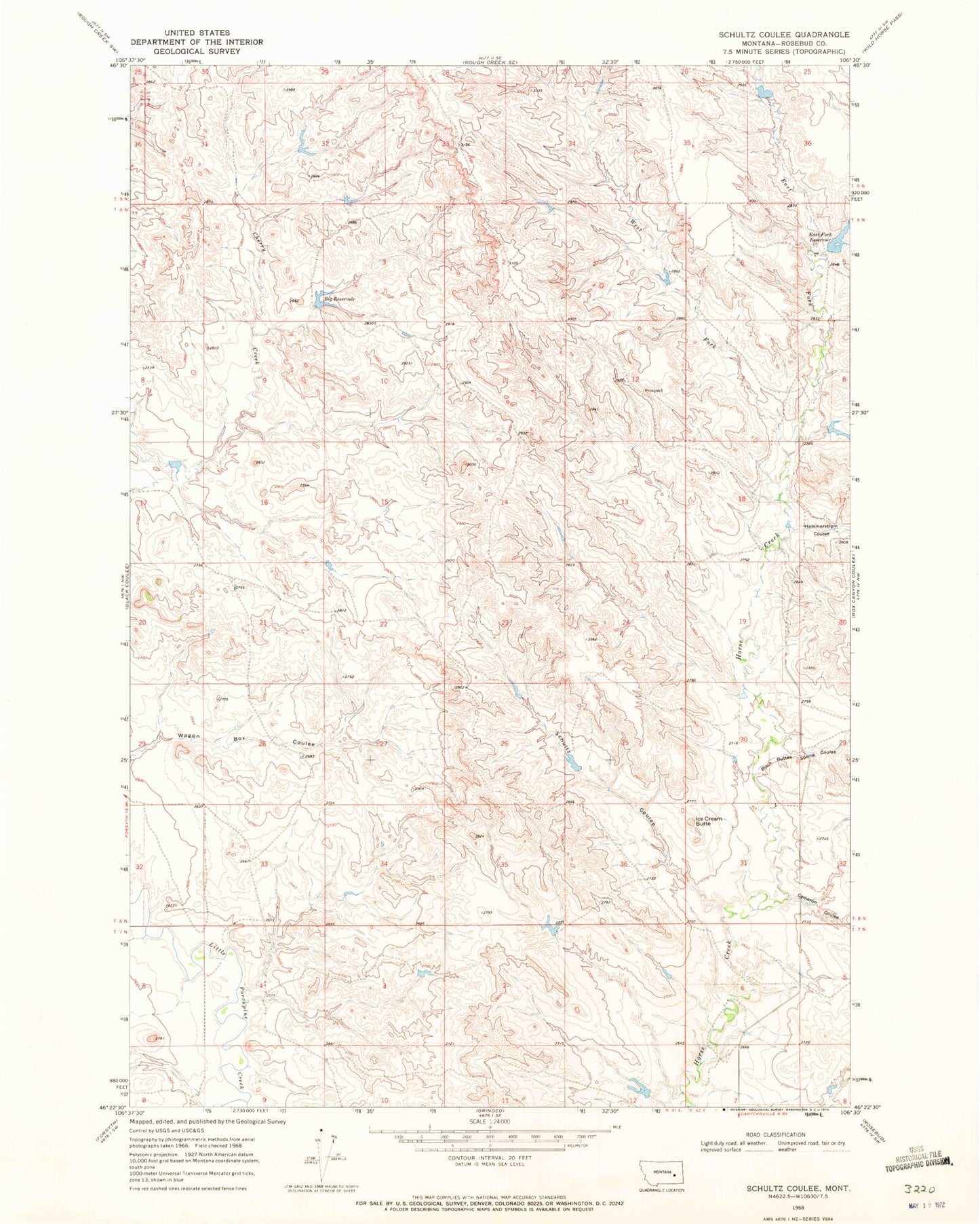
Classic USGS Schultz Coulee Montana 7.5'x7.5' Topo Map
Couldn't load pickup availability
Historical USGS topographic quad map of Schultz Coulee in the state of Montana. Map scale may vary for some years, but is generally around 1:24,000. Print size is approximately 24" x 27"
This quadrangle is in the following counties: Rosebud.
The map contains contour lines, roads, rivers, towns, and lakes. Printed on high-quality waterproof paper with UV fade-resistant inks, and shipped rolled.
Contains the following named places: Adams Number 5 Dam, Big Reservoir, Big Reservoir Dam, Black Buttes Spring Coulee, Cameron Coulee, Cherry Creek Dam, East Fork Horse Creek, East Fork Reservoir, East Fork Reservoir Dam, Hammerstrom Coulee, Horse Creek Dam, Horse Creek School, Ice Cream Butte, Schultz Coulee, Swart Number 9 Dam, West Fork Horse Creek, Whaley Number 10 Dam