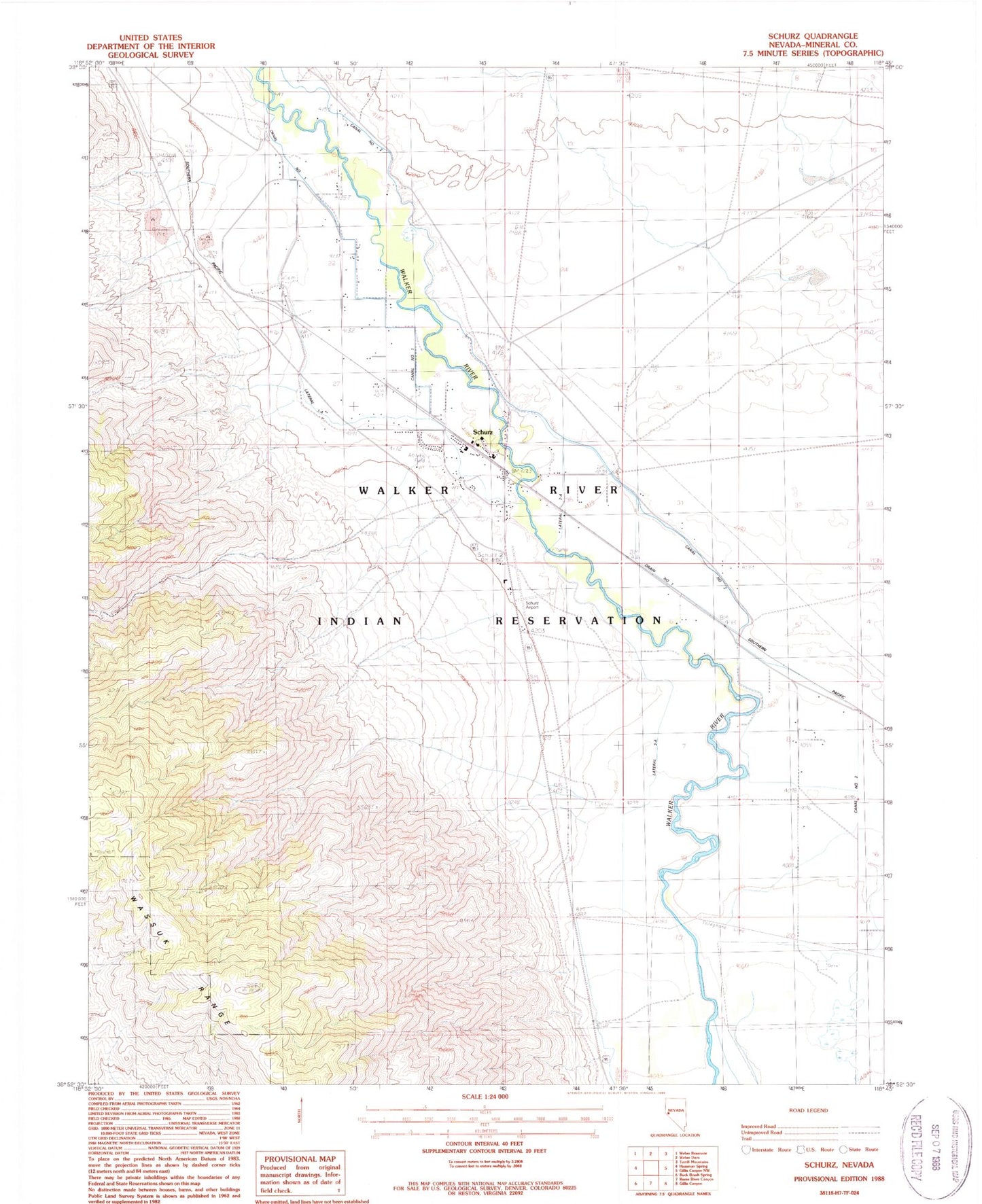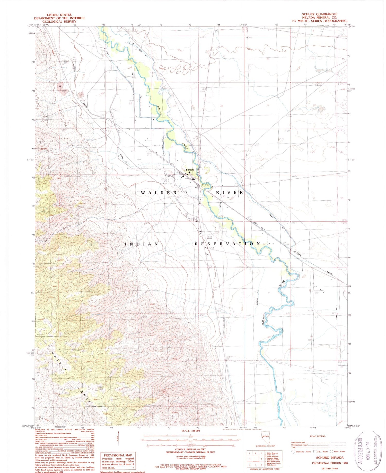
MyTopo
Classic USGS Schurz Nevada 7.5'x7.5' Topo Map
Couldn't load pickup availability
Historical USGS topographic quad map of Schurz in the state of Nevada. Map scale may vary for some years, but is generally around 1:24,000. Print size is approximately 24" x 27"
This quadrangle is in the following counties: Mineral.
The map contains contour lines, roads, rivers, towns, and lakes. Printed on high-quality waterproof paper with UV fade-resistant inks, and shipped rolled.
Contains the following named places: Birch, Blue Ridge Tungsten Mine, Canal Number One, Canal Number Two, Drain Number One, Lateral One-A, Lateral Two-A, Lateral Two-B, Lateral Two-D, Lateral Two-E, Schurz, Schurz Airport, Schurz Census Designated Place, Schurz Elementary School, Schurz Paiute Indian Cemetery, Schurz Post Office, Schurz Township, Walker River - Schurz Fire Department, Walker River Hospital