MyTopo
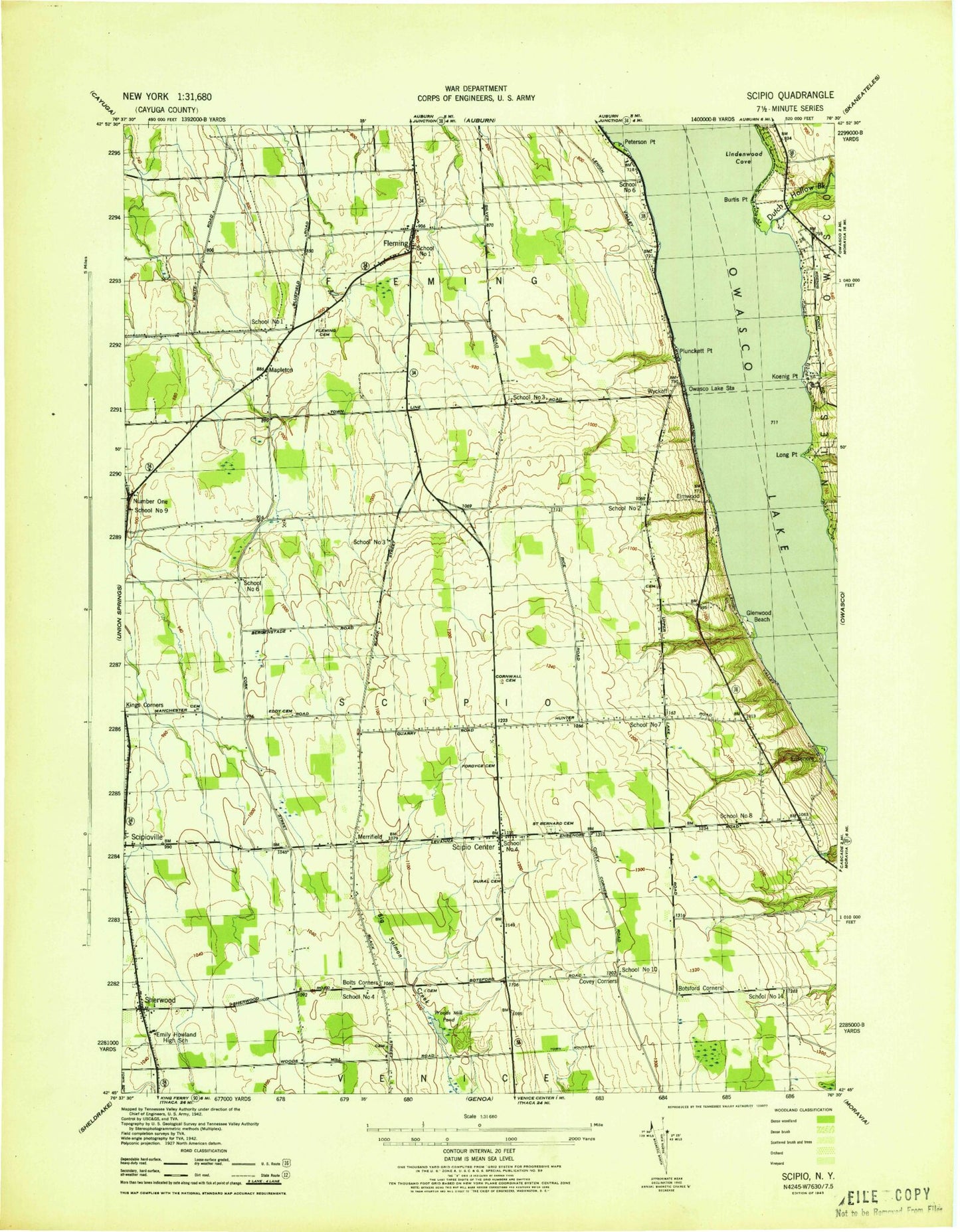
Classic USGS Scipio Center New York 7.5'x7.5' Topo Map
Couldn't load pickup availability
Historical USGS topographic quad map of Scipio Center in the state of New York. Map scale may vary for some years, but is generally around 1:24,000. Print size is approximately 24" x 27"
This quadrangle is in the following counties: Cayuga.
The map contains contour lines, roads, rivers, towns, and lakes. Printed on high-quality waterproof paper with UV fade-resistant inks, and shipped rolled.
Contains the following named places: Arnold - Comstock Cemetery, Babcock Family Cemetery, Bolts Corners, Bolts Corners Cemetery, Botsford Corners, Burch Cemetery, Burtis Point, Camp Columbus, Conklin Cove, Cornwall Cemetery, Covey Corners, Devine Cemetery, Dutch Hollow Brook, Eddy Cemetery, Elmwood, Emily Howland High School, Ensenore, Ensenore Point, Fays Point, Fleming, Fleming Cemetery, Fleming Federated Church, Fleming Fire Department Station 2, Fordyce Cemetery, Glenwood Beach, Glenwood Point, Gould - Akin Cemetery, Killian Airfield, Kings Corners, Koenig Point, KRC Farms, Lindenwood Cove, Long Point, Manchester Family Cemetery, Mapleton, Merrifield, Number One, Owasco Lake, Owasco Lake Mennonite Church, Owasco Lake Station, Peterson Point, Plunckett Point, Saint Bernard Cemetery, Saint Bernard's Catholic Church, Saint Bernard's Old Catholic Cemetery, School Number 1, School Number 10, School Number 14, School Number 2, School Number 3, School Number 4, School Number 6, School Number 7, School Number 8, School Number 9, Scipio Center, Scipio Center Post Office, Scipio Fire Department, Scipio Rural Cemetery, Scipioville, Sherwood, Sherwood - Phelps Cemetery, Southern Cayuga Elementary School Howland Building, Spruce Haven Farm, Town of Fleming, Town of Scipio, Woods Mill Pond, Wyckoff, ZIP Code: 13147


