MyTopo
Classic USGS Scipio North Utah 7.5'x7.5' Topo Map
Regular price
$16.95
Regular price
Sale price
$16.95
Unit price
per
Couldn't load pickup availability
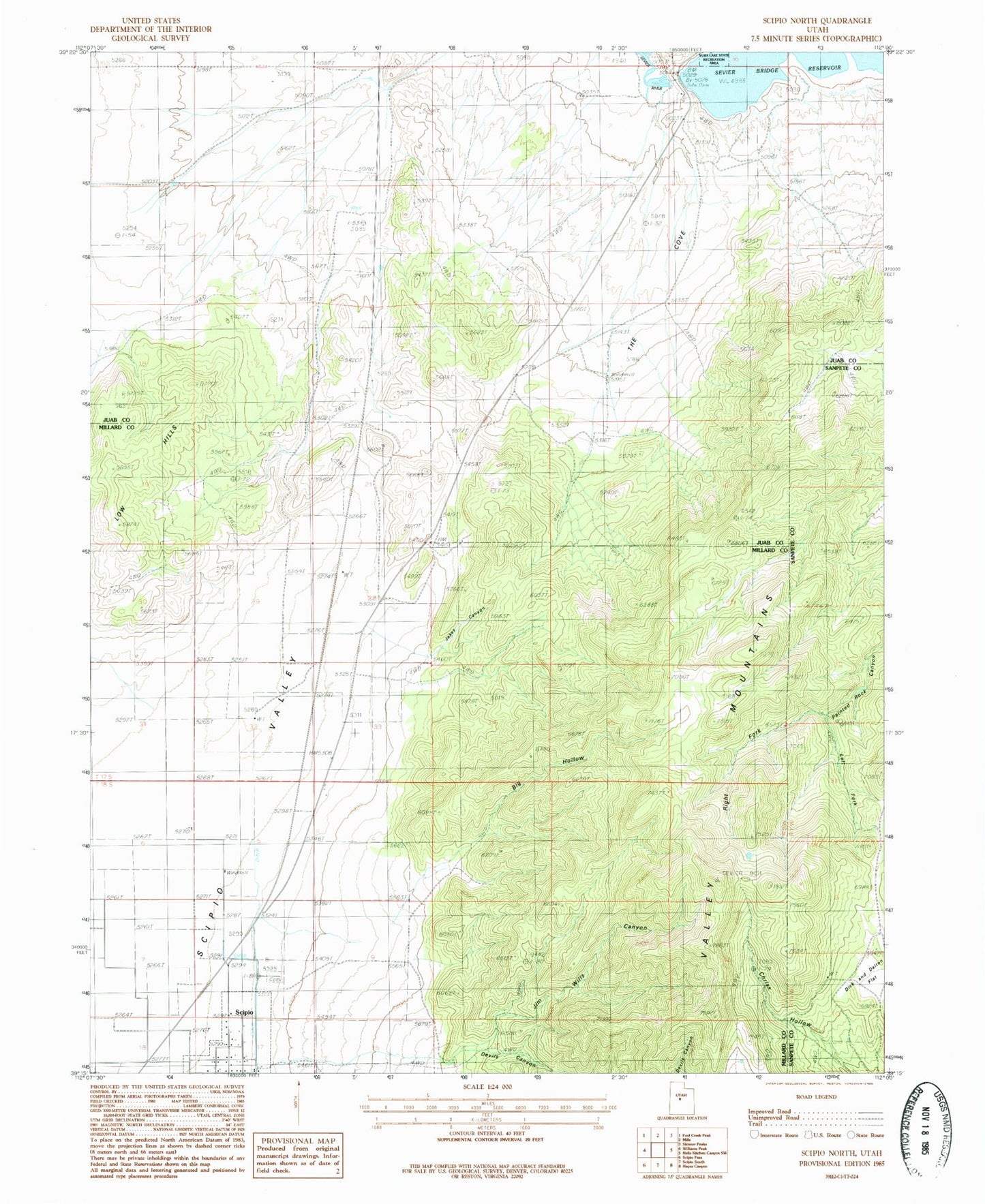
Historical USGS topographic quad map of Scipio North in the state of Utah. Map scale may vary for some years, but is generally around 1:24,000. Print size is approximately 24" x 27"
This quadrangle is in the following counties: Juab, Millard, Sanpete.
The map contains contour lines, roads, rivers, towns, and lakes. Printed on high-quality waterproof paper with UV fade-resistant inks, and shipped rolled.
Contains the following named places: Big Hollow, Chriss Hollow, Devils Canyon, Dick and Dalton Flat, Jakes Canyon, Jim Wills Canyon, Left Fork Painted Rock Canyon, Low Hills, Right Fork Painted Rock Canyon, Scipio Cemetery, Scipio Valley, Sevier Bridge Dam, The Cove, Yuba Dam