MyTopo
Classic USGS Scole School Montana 7.5'x7.5' Topo Map
Regular price
$16.95
Regular price
Sale price
$16.95
Unit price
per
Couldn't load pickup availability
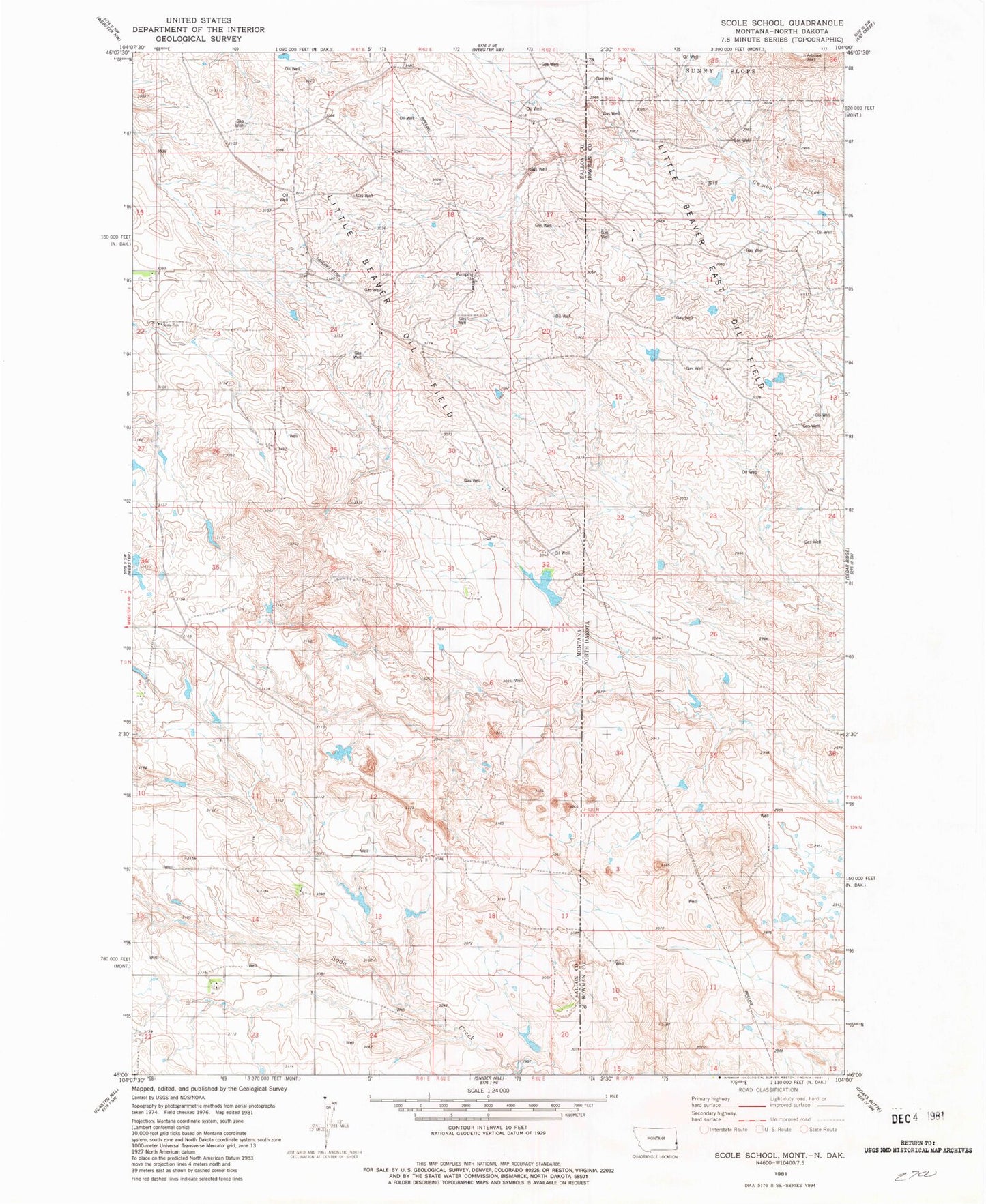
Historical USGS topographic quad map of Scole School in the states of Montana, North Dakota. Map scale may vary for some years, but is generally around 1:24,000. Print size is approximately 24" x 27"
This quadrangle is in the following counties: Bowman, Fallon.
The map contains contour lines, roads, rivers, towns, and lakes. Printed on high-quality waterproof paper with UV fade-resistant inks, and shipped rolled.
Contains the following named places: 04N59E32CACD01 Well, 04N61E25CCCA01 Well, 04N62E08CA__01 Well, 04N62E17BAD_01 Well, 04N62E19DC__01 Well, Little Beaver East Oil Field, Little Beaver Oil Field, Rusley Number 2 Dam, Scole School