MyTopo
Classic USGS Scopan Maine 7.5'x7.5' Topo Map
Couldn't load pickup availability
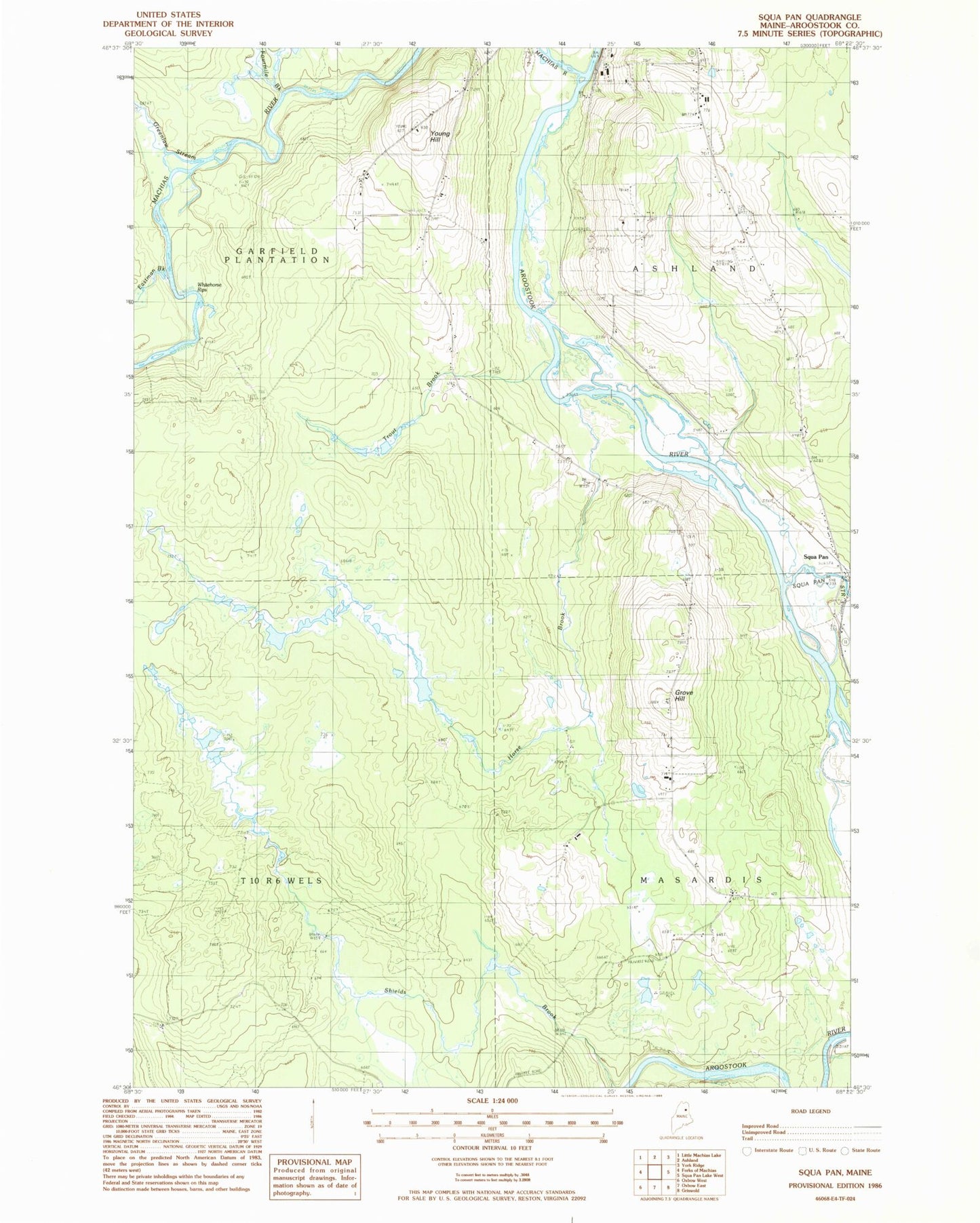
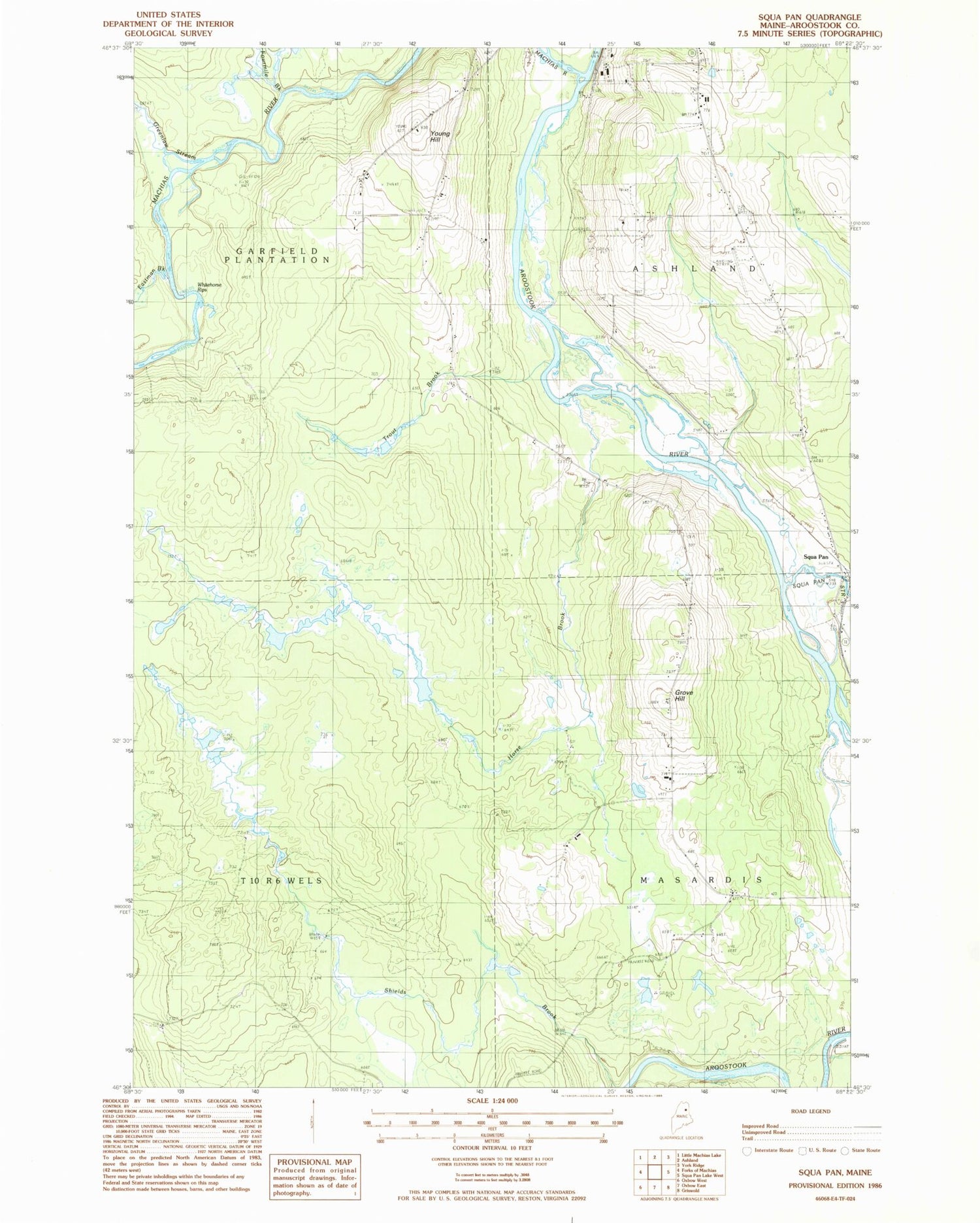
Historical USGS topographic quad map of Scopan in the state of Maine. Map scale may vary for some years, but is generally around 1:24,000. Print size is approximately 24" x 27"
This quadrangle is in the following counties: Aroostook.
The map contains contour lines, roads, rivers, towns, and lakes. Printed on high-quality waterproof paper with UV fade-resistant inks, and shipped rolled.
Contains the following named places: Alieff Cemetery, Ashland Airport, Ashland Census Designated Place, Eastman Brook, Fourmile Brook, Greenlaw Stream, Grove Hill, Horse Brook, Machias River, Number Six Camp, Plantation of Garfield, Rafford Cemetery, Robinson Cemetery, Rockwell School, Scopan, Scopan Stream, Shields Brook, T10 R6 WELS, Trafton Siding, Trout Brook, Winslow Cemetery, Young Hill