MyTopo
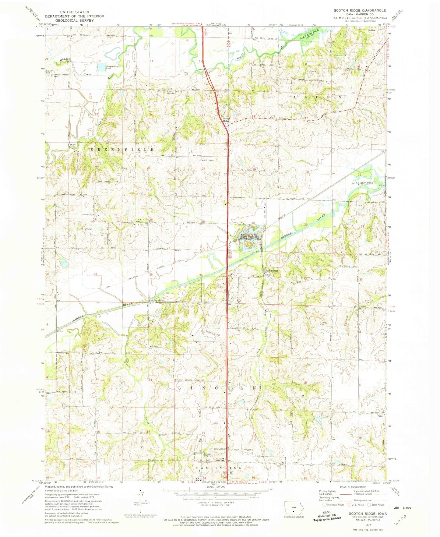
Classic USGS Scotch Ridge Iowa 7.5'x7.5' Topo Map
Couldn't load pickup availability
Historical USGS topographic quad map of Scotch Ridge in the state of Iowa. Map scale may vary for some years, but is generally around 1:24,000. Print size is approximately 24" x 27"
This quadrangle is in the following counties: Warren.
The map contains contour lines, roads, rivers, towns, and lakes. Printed on high-quality waterproof paper with UV fade-resistant inks, and shipped rolled.
Contains the following named places: Banner Mine State Wildlife Management Area, Carlisle Middle School, Cavitt Creek, Farmers Chapel, Indianola Country Club, Indianola Friends Church, Indianola Water Pollution Control Plant, Laverty Field, Loerke-Fox Run Aerodrome, Lundy Acres, National Balloon Museum, North River Cemetery, North River Church, Peck Cemetery, Plug Run, Scotch Ridge, Scotch Ridge Cemetery, Scotch Ridge United Presbyterian Church, Summerset, Summerset Junction, Summerset Post Office, Township of Allen, Township of Greenfield, Tuinstra Airfield, Wilson Woods


