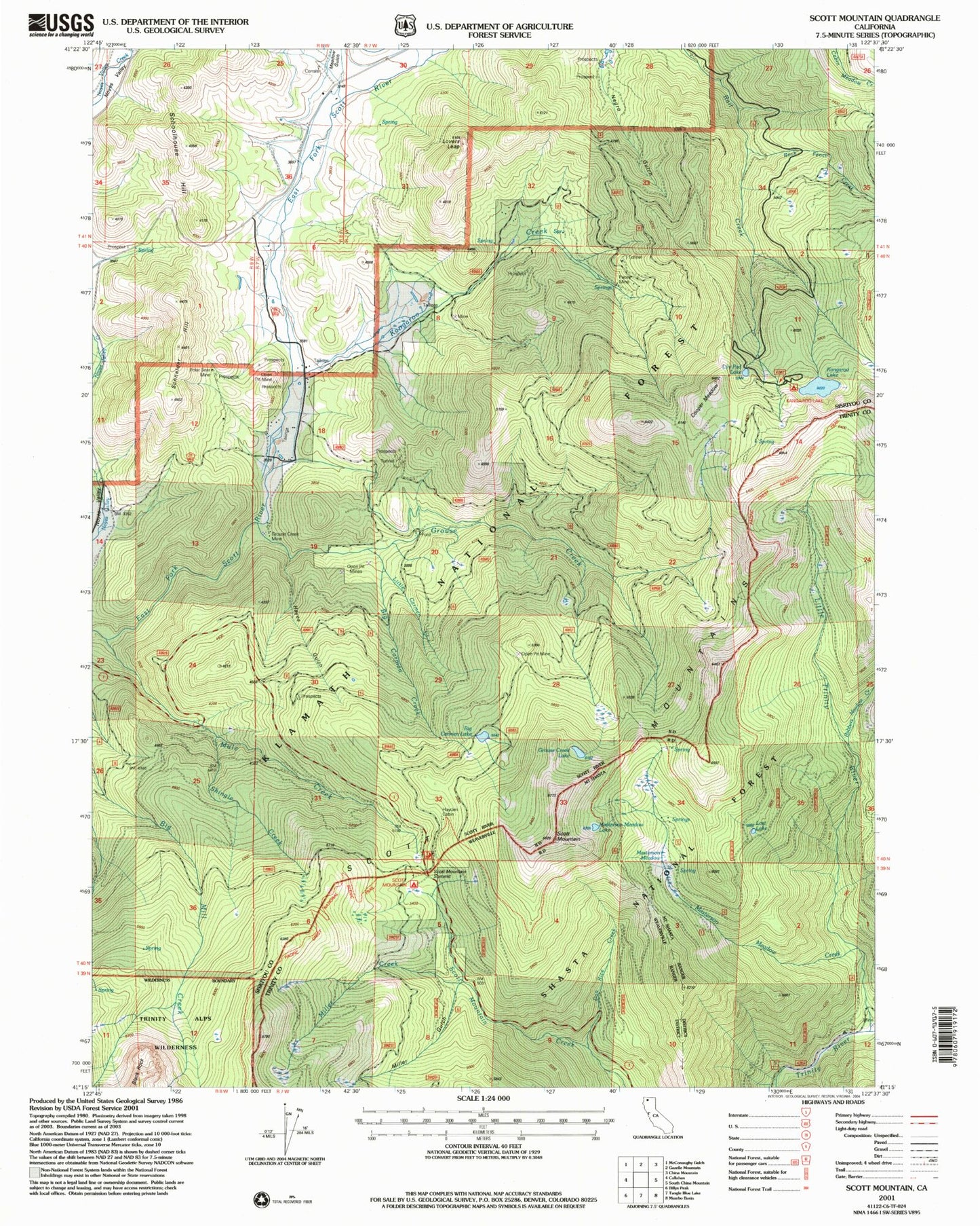
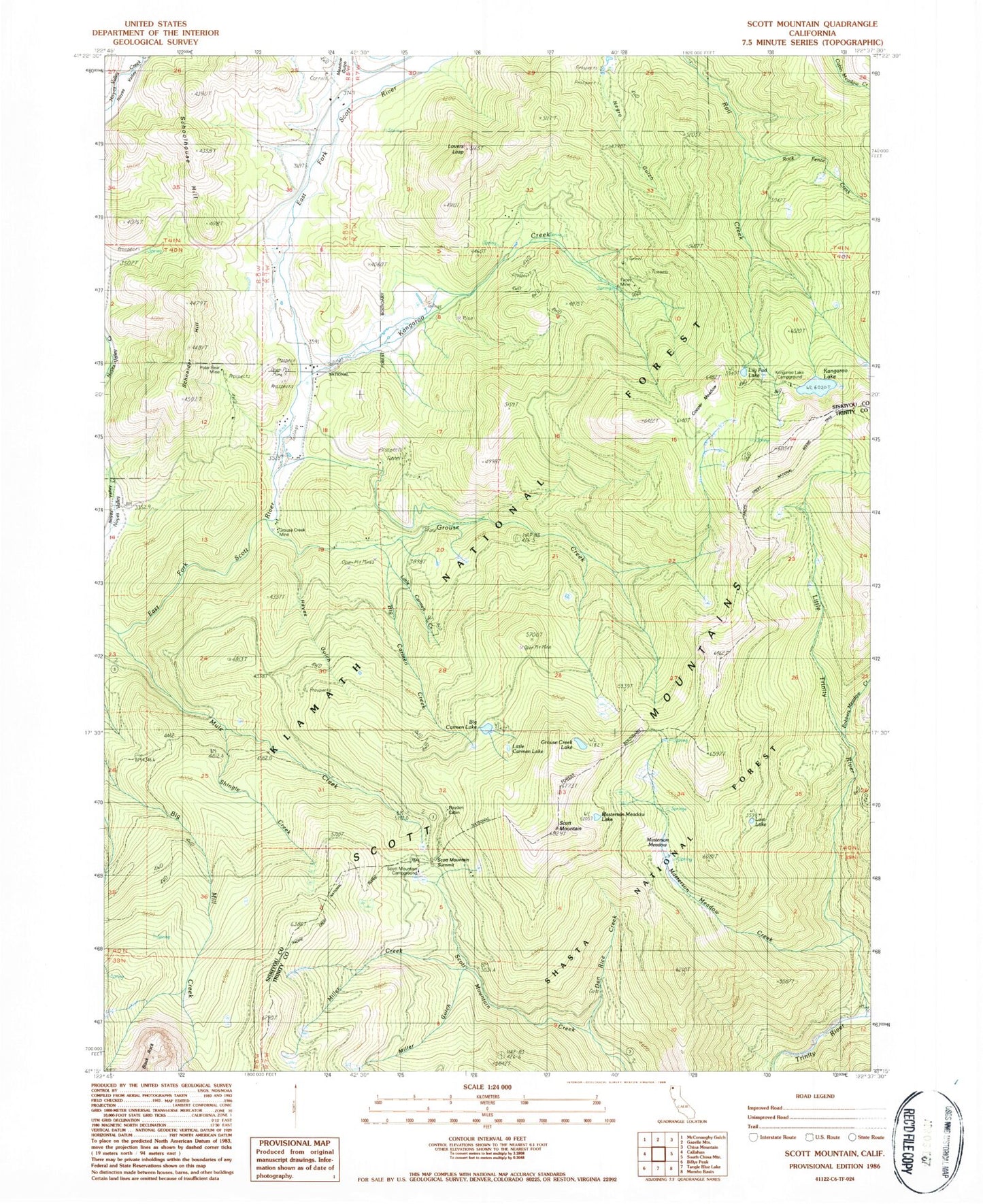
MyTopo
Classic USGS Scott Mountain California 7.5'x7.5' Topo Map
Couldn't load pickup availability
Historical USGS topographic quad map of Scott Mountain in the state of California. Typical map scale is 1:24,000, but may vary for certain years, if available. Print size: 24" x 27"
This quadrangle is in the following counties: Siskiyou, Trinity.
The map contains contour lines, roads, rivers, towns, and lakes. Printed on high-quality waterproof paper with UV fade-resistant inks, and shipped rolled.
Contains the following named places: Big Carmen Creek, Big Carmen Lake, Cooper Meadow, Dan Rice Creek, East Fork School, Facey Mine, Grouse Creek, Grouse Creek Lake, Grouse Creek Mine, Hayden Cabin, Hayes Gulch, Kangaroo Creek, Kangaroo Lake, Lily Pad Lake, Little Carmen Creek, Little Carmen Lake, Little Trinity River, Lovers Leap, Masterson Meadow, Masterson Meadow Creek, Masterson Meadow Lake, Miller Creek, Miller Gulch, Mule Creek, Polar Bear Mine, Robbers Meadow Creek, Rock Fence Creek, Schneider Hill, Schoolhouse Hill, Scott Mountain, Shingle Creek, Meadow Gulch, Scott Mountain Campground, Chapman Mine, Scott Mountain Trailhead Parking, Facey, Kangaroo Lake Campground, McCoys Cabin, Scott Mountain Summit, Parker Ranch, Kangaroo Lake Dam, Scott Valley Fire Protection District Masterson Road